
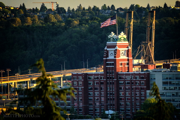
 Fortress of Coffee World Domination
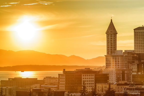 Smith & Sun II
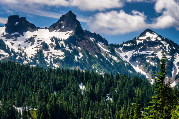 Pinnacle of the Tatoosh
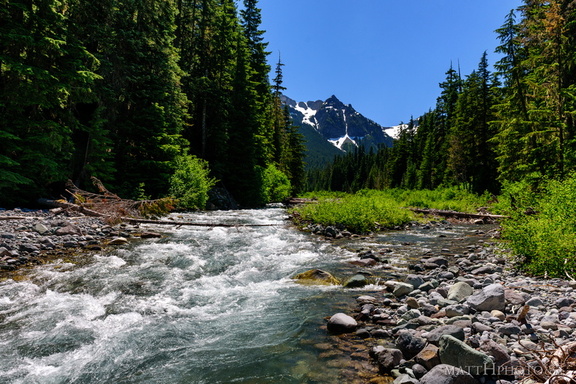 Fryingpan Creek to Banshee Peak
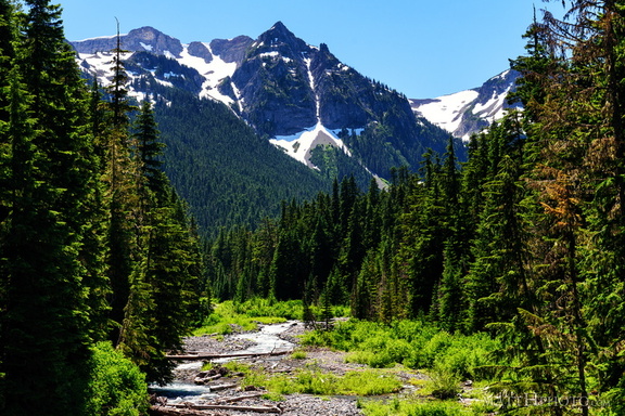 Fryingpan Creek to Banshee Peak
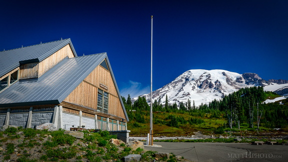 Paradise
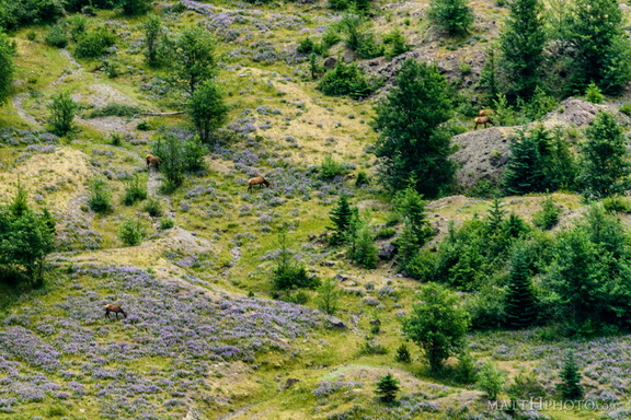 In the blasted zone
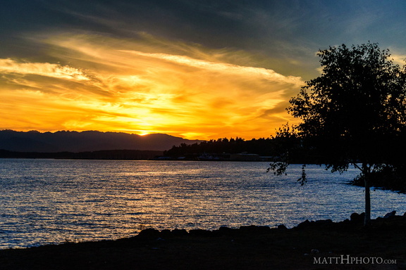 Puget's Gold
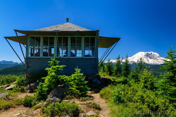 Sun Top Fire Lookout
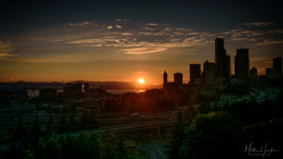 Nightfall
 Zombie (Don the Beachcomber)
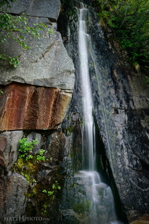 Waterfall by Louise Lake
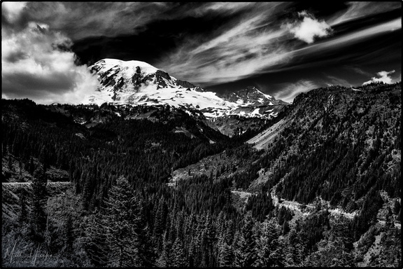 Stevens Canyon
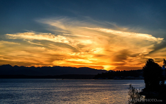 Puget's Gold II
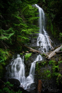 Falls Creek Falls (Rainier)
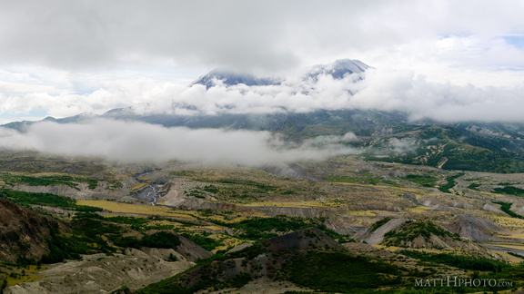 Cloud Saint Helens
 Going Nowhere Solo
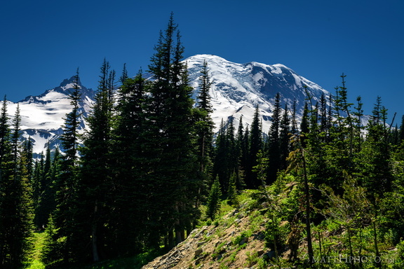 Sunrise Road
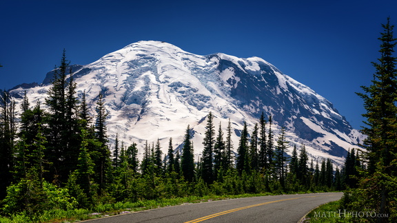 Sunrise Road
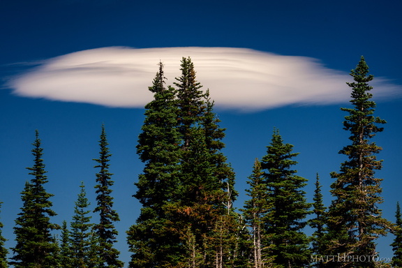 Lenticular
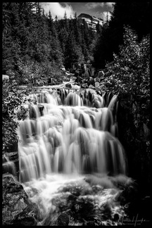 Sunshine Creek
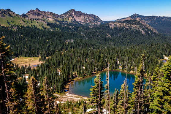 Sunrise Lake and Palisades Peak
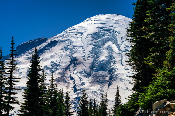 Rainier from Sunrise Point
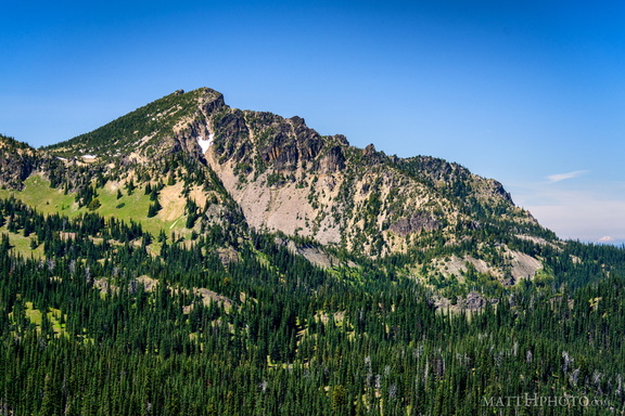 Palisades Peak
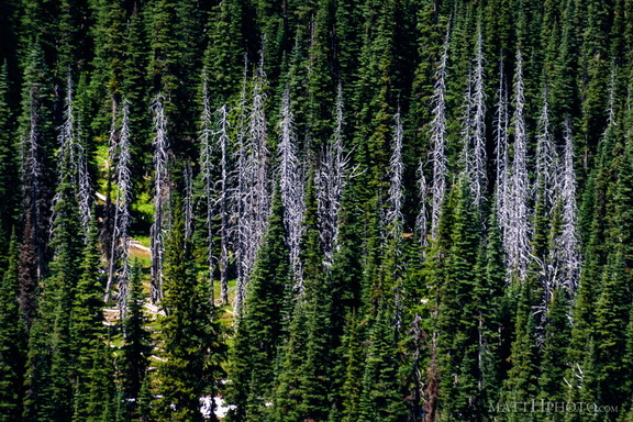 Snags
Snags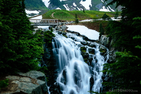 Top of Myrtle Falls
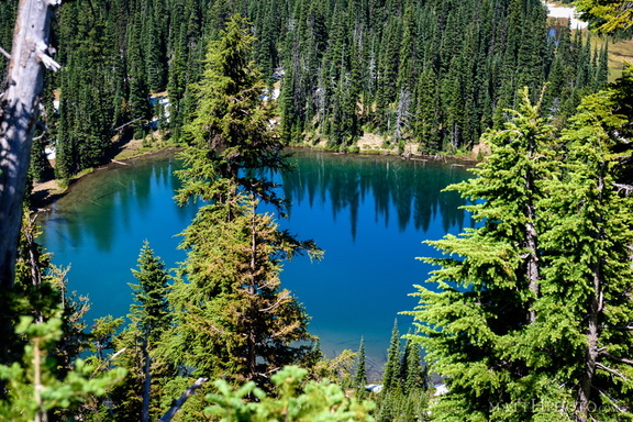 Sunrise Lake
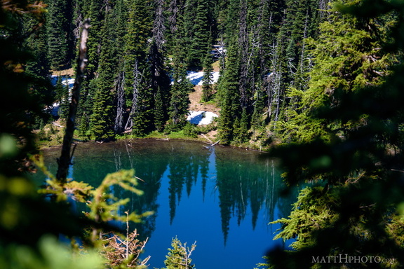 Sunrise Lake
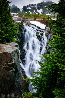 Myrtle Falls, Mount Rainier
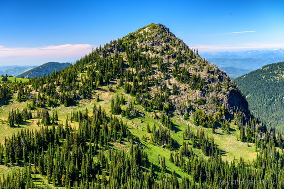 McNeeley Peak
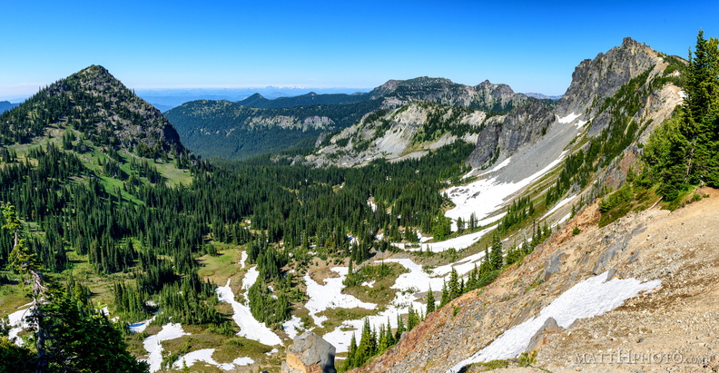 McNeeley Peak
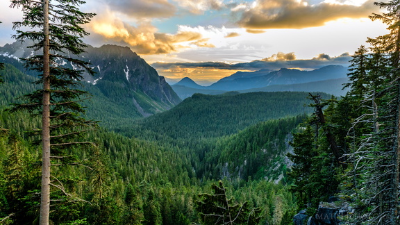 Sunset on the Tatoosh Range
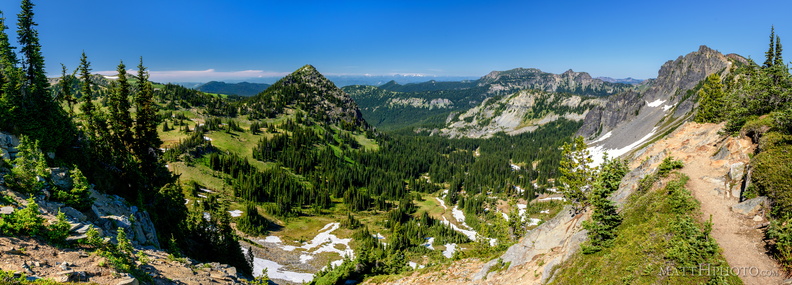 McNeeley Peak
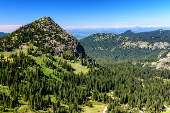 McNeeley Peak
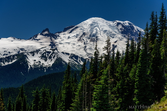 From Sunrise Point, the Mountain
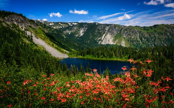 Louise Lake, Mount Rainier National Park
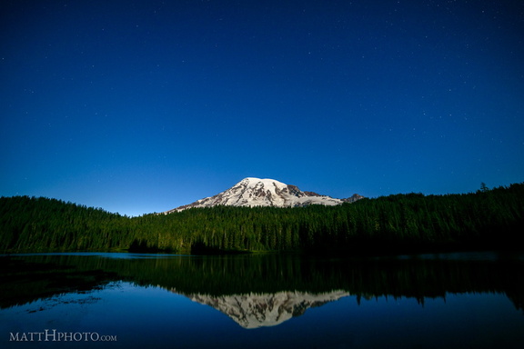 Glaciers in Moonlight
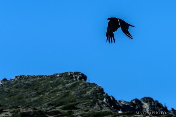 Rainier Raven
 Look at me, I'm on a ridge.
 Rainier from Sunrise
 Morning at Kautz Creek
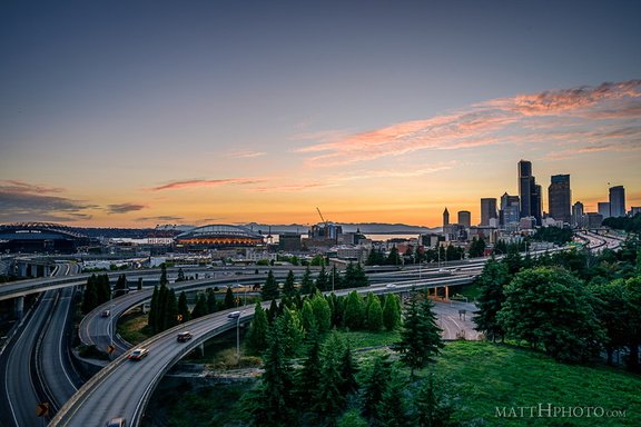 Rainbow Sherbet (Seattle)
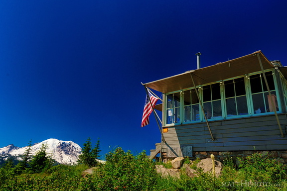 Sun Top Fire Lookout
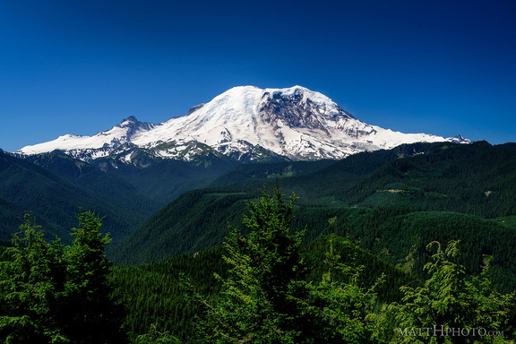 The North Face
 Sun Top Fire Lookout
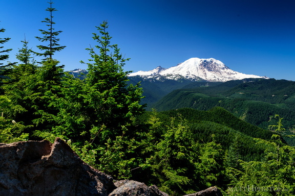 Sun Top Fire Lookout
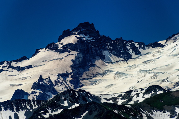 Little Tahoma
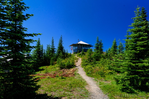 Sun Top Fire Lookout
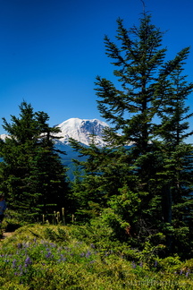 Sun Top Fire Lookout
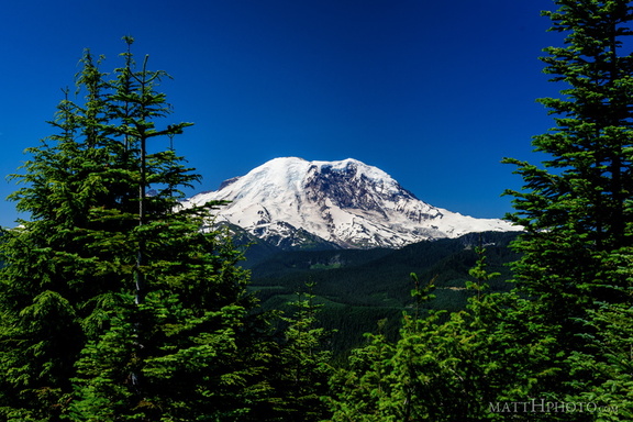 Sun Top Fire Lookout