
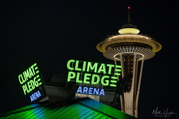
 Climate Pledge Arena
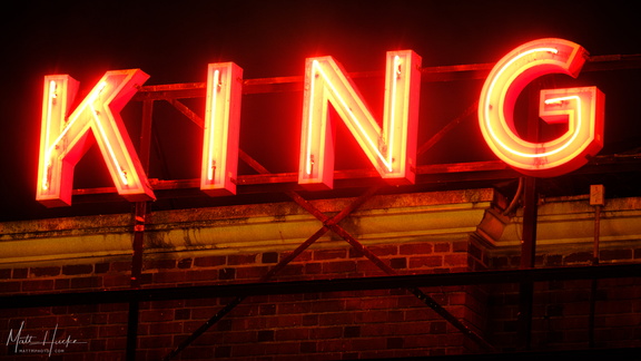 King Street Station
 King Street Station
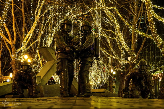 Fallen Firefighters' Memorial, Seattle
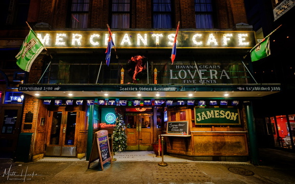 Merchants
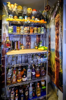 Look to the West
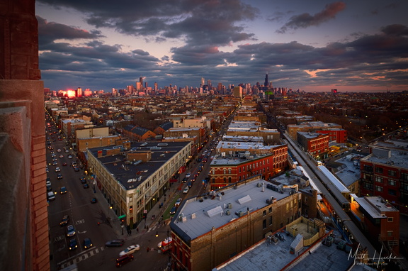 Chicago Flatiron
 Damen on the Blue Line
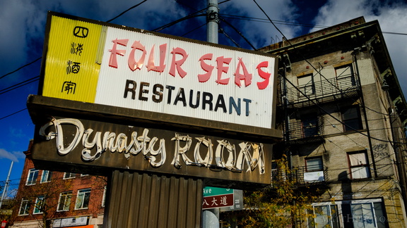 Four Seas Restaurant (1935-2017)
 Blue Funnel Line
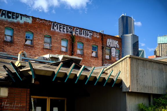 Four Seas and Golden West
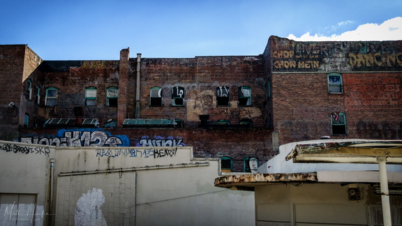 Golden West Hotel
 Golden West Hotel
 Ten Ten
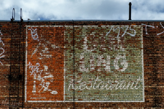 Ghost of Gim Ling
 Nineteen Twenty
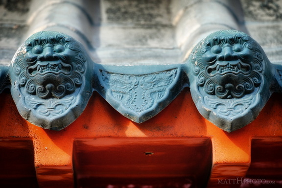 Roof Guardians
 Chong Wa Benevolent Association (1929)
 Bush Garden: Sukiyaki
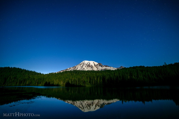 Glaciers in Moonlight
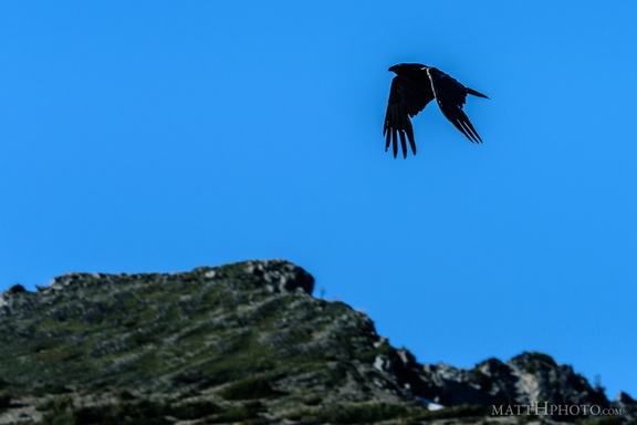 Rainier Raven
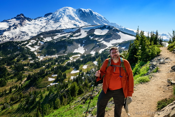 Look at me, I'm on a ridge.
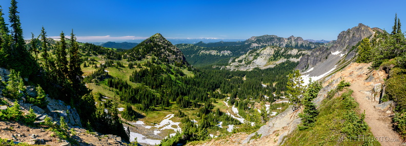 McNeeley Peak
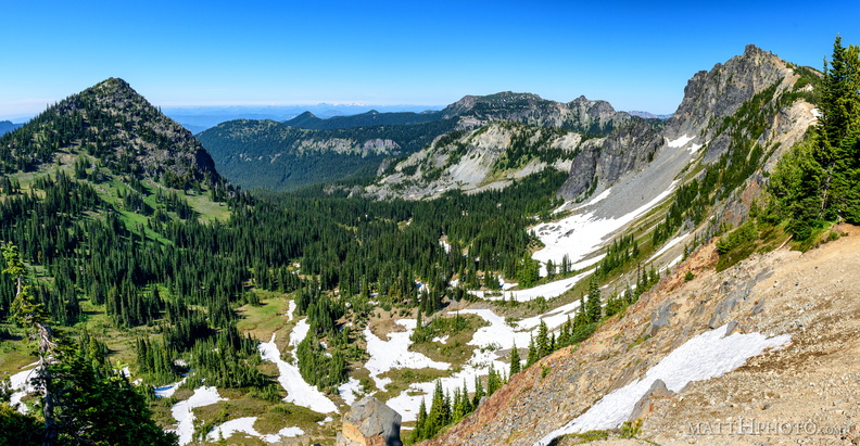 McNeeley Peak
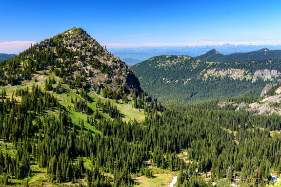 McNeeley Peak
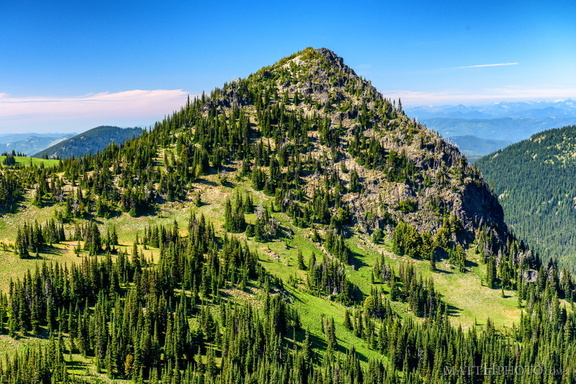 McNeeley Peak
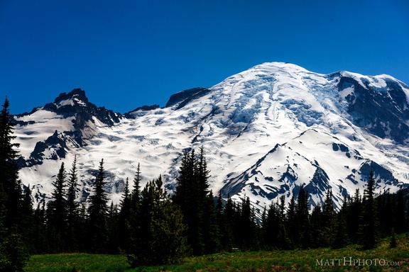 Rainier from Sunrise
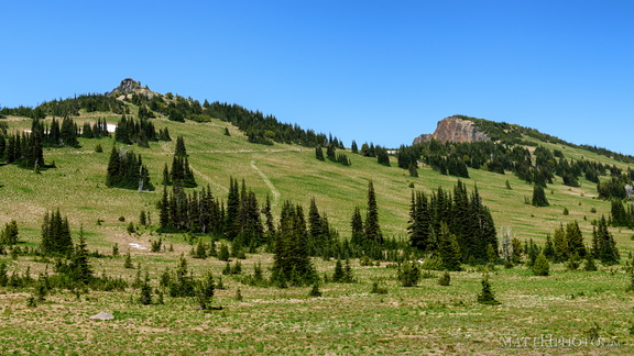 Sourdough Ridge
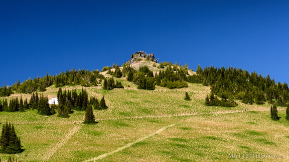 Sourdough Ridge Peak
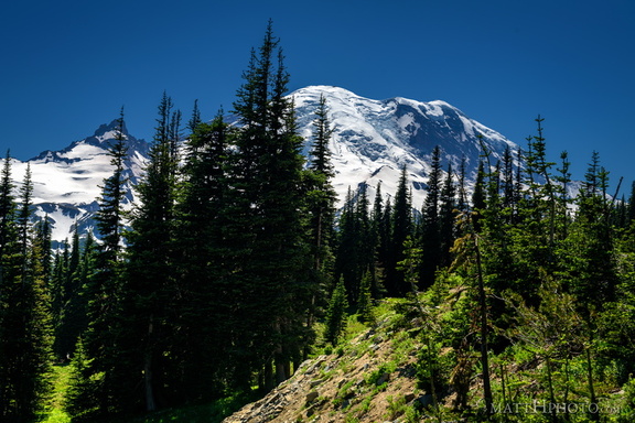 Sunrise Road
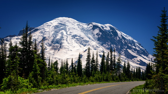 Sunrise Road
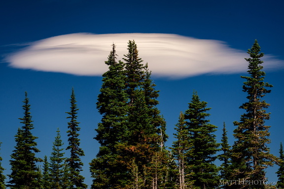 Lenticular
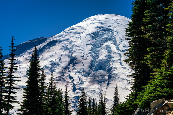 Rainier from Sunrise Point
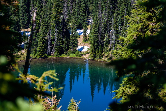 Sunrise Lake
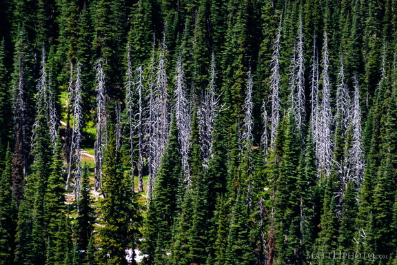 Snags
Snags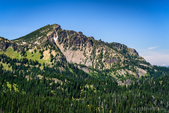 Palisades Peak
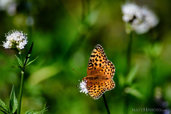 A spot of colour
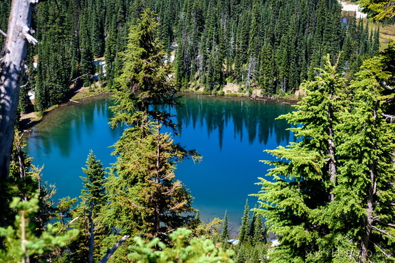 Sunrise Lake
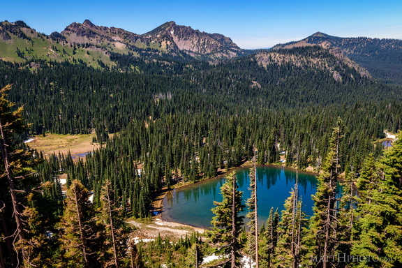 Sunrise Lake and Palisades Peak
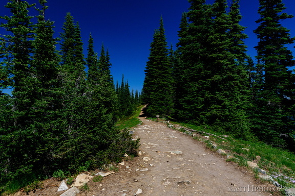 Palisades Lakes Trail
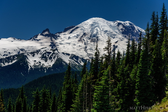 From Sunrise Point, the Mountain
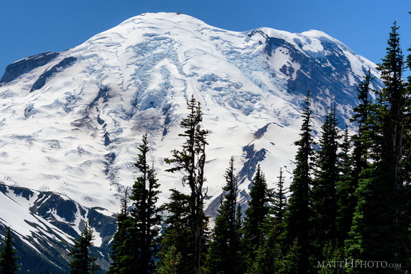 Sunrise Point
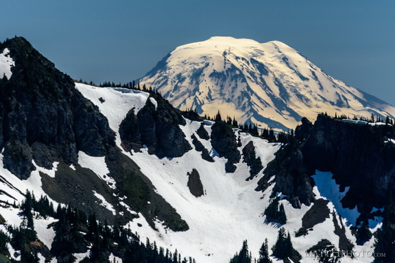 Mount Adams (from Rainier)
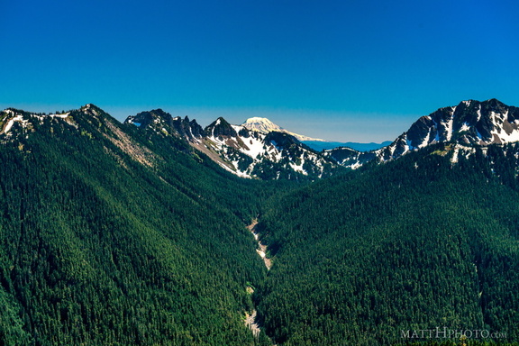 South from Sunrise Point
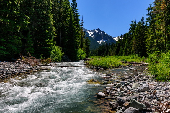 Fryingpan Creek to Banshee Peak
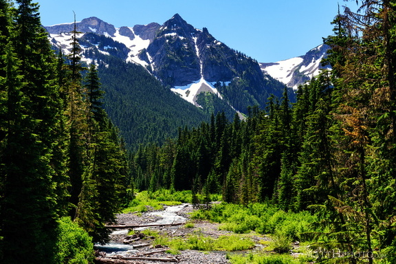 Fryingpan Creek to Banshee Peak
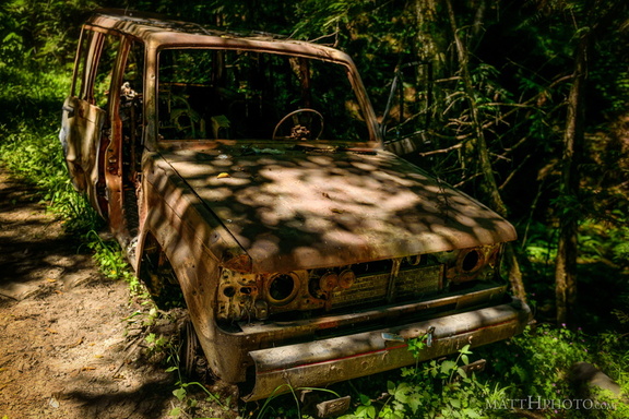 Going Nowhere Solo
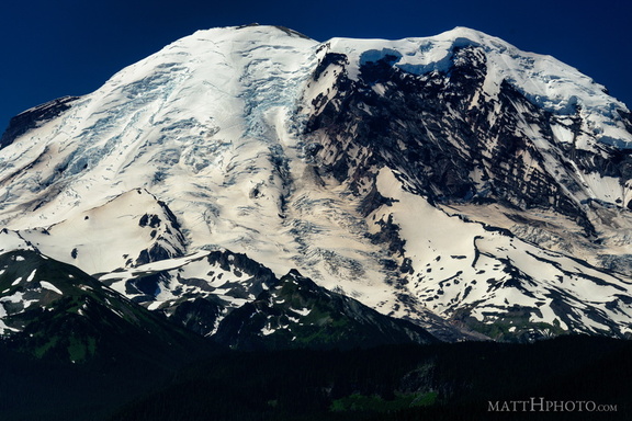 The North Face
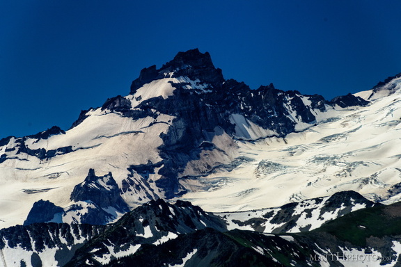 Little Tahoma
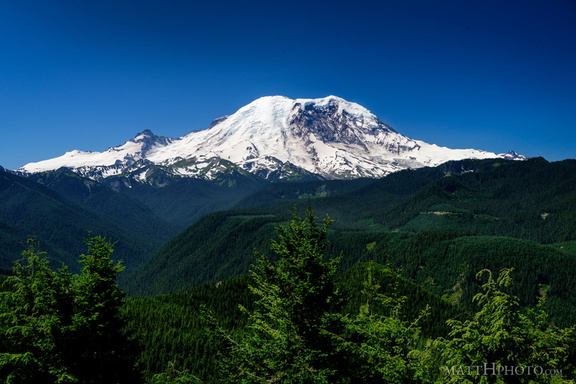 The North Face