
-
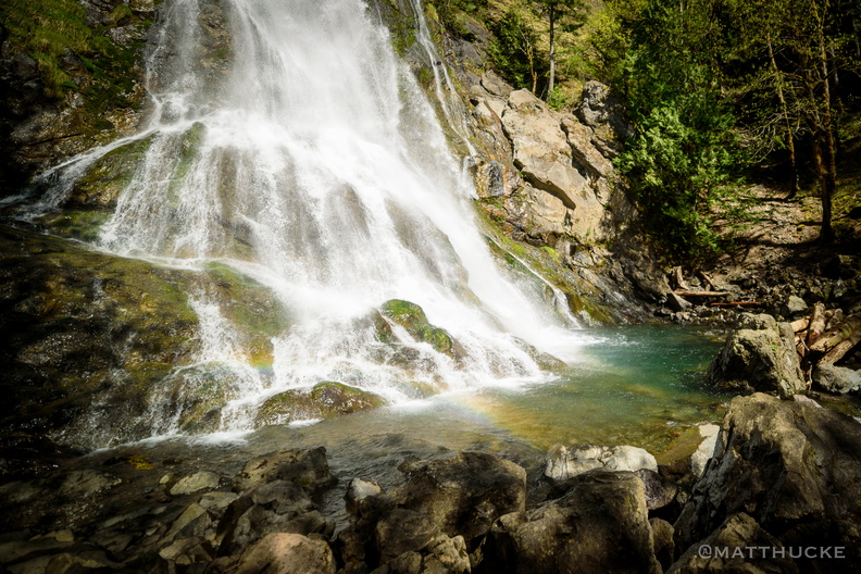 Rocky Brook Falls
229 foot horsetail falls. -
 Rocky Brook Falls
229 foot horsetail falls. -
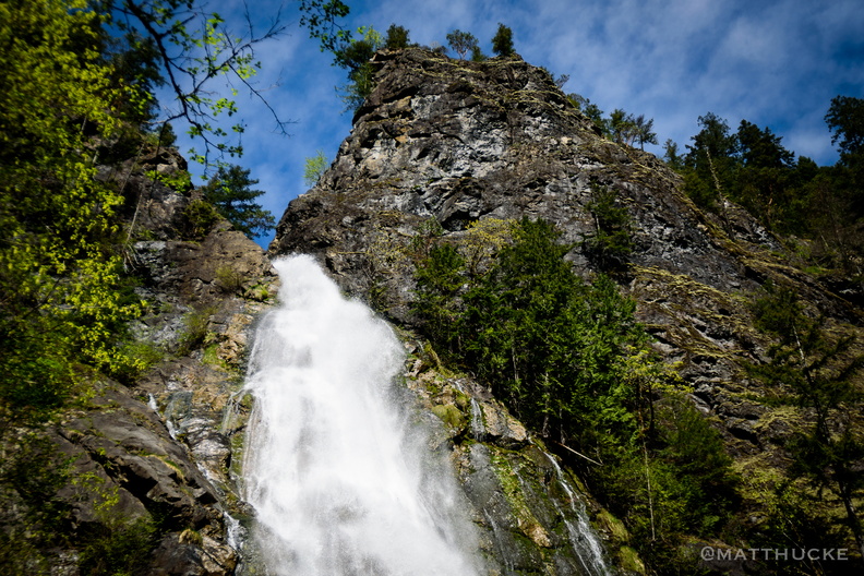 Rocky Brook Falls
229 foot horsetail falls. -
 Rocky Reach Dam
Columbia River, seen from Lincoln Rock State Park -
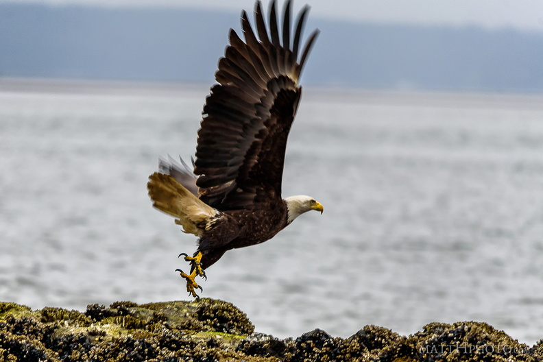 Rocky takeoff
-
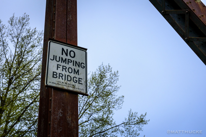
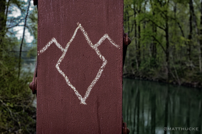
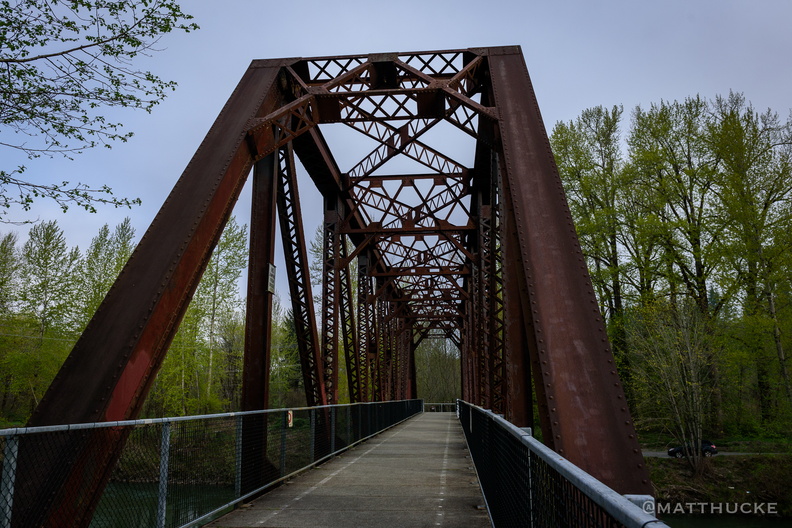
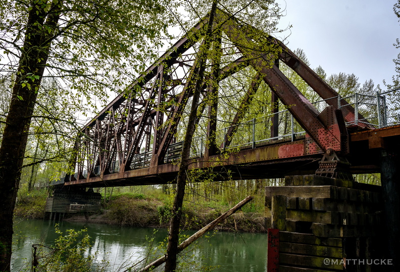 Ronette Pulaski Bridge (Twin Peaks)
Reinig road trestle bridge, also called "Ronette Pulaski Bridge" after the character who was found walking along it, dazed and brain-damaged, after escaping the killer. Originally a railway bridge over the Snoqualmie River, built to service the saw mill (see previous posting), the railroad was ripped out after the mill closed (1989), the elevated approach on one side of the bridge torn down, and the bridge converted to a foot bridge, part of a nature trail. A stairway leads up to it on the Reinig Road side, the second stairway built on the site after the first was destroyed by an arsonist. -
 Root and Island
Massive tree washed up at La Push, Washington. -
 Roozengaarde
-
 Rugged
-
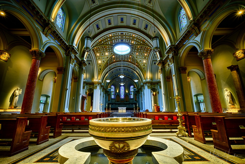 Saint James
St James Catholic Cathedral, Seattle. Holy water font and baptism pool are in the foreground; in the distance, the high alter is under the oculus (skylight). HDR from three exposures at -2/0/+2. -
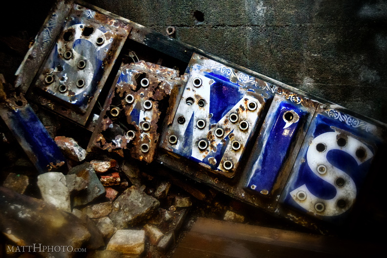 SAM'S Under Skid Row
Illuminated sign discarded in Seattle Underground, 1st and Yesler Way, the original "Skid Row". -
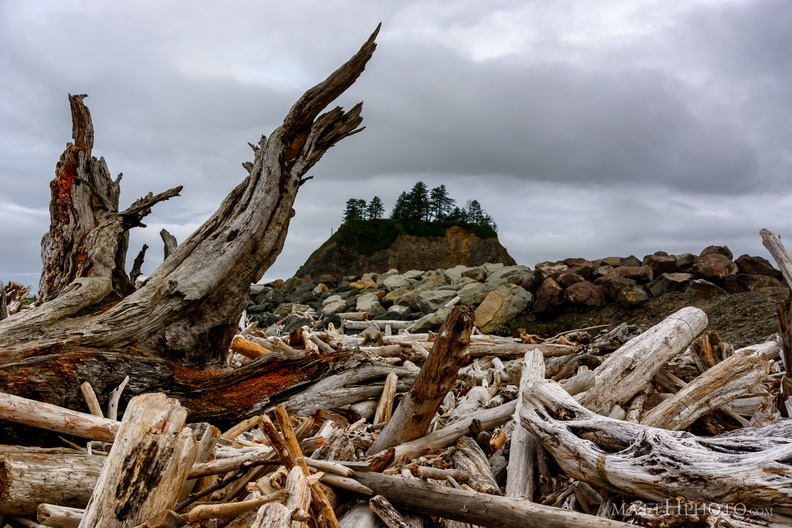 Sea of Wood
-
 Sea Rock
-
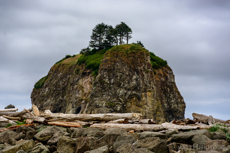 Sea Stack
-
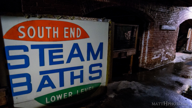 Seattle Can be Saved... by Steam!
Seattle Underground Tour -
 Seattle Neon Book!
New book of my neon photos - over 450 of them. Buy it here: Seattle Neon on Kickstarter -
 Seattle Paris Solidarity
A day after the attacks on Paris, a specially-made French tricolour was raised over the Space Needle. This photo was taken minutes later. -
 Seattle pinks up for the holidays
-
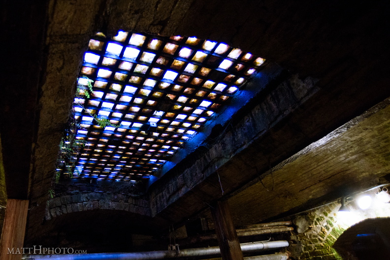 Seattle Underground Skylight
Manganese glass prisms mounted in the sidewalk to illuminate the earlier (pre-1889) lower level sidewalks. -
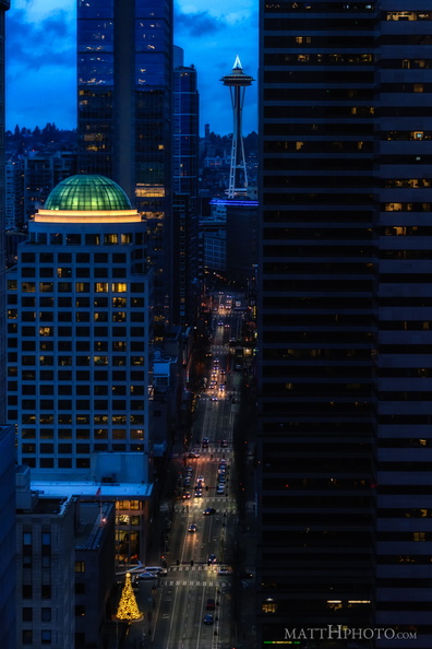 Second Avenue
-
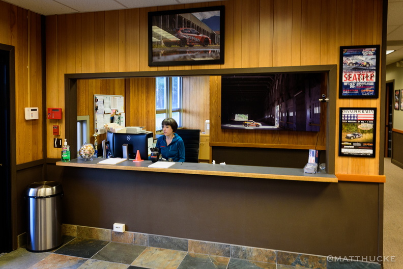 Sheriff's Department (Twin Peaks)
Building used for the filming of the TV series Twin Peaks, as the office of Sheriff Truman. It now belongs to Dirtfish Rally School. Special thanks to Lisa (pictured) for letting me explore. -
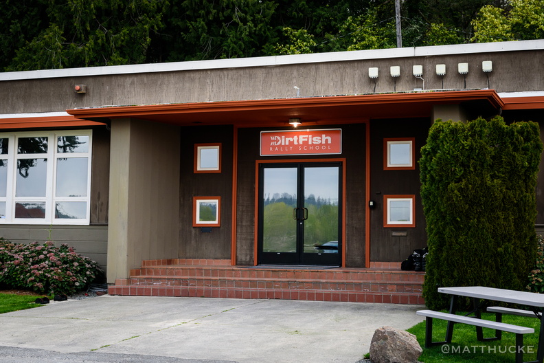 Sheriff's Department (Twin Peaks)
Building used for the filming of the TV series Twin Peaks, as the office of Sheriff Truman. It now belongs to Dirtfish Rally School. Special thanks to Lisa (pictured) for letting me explore. -
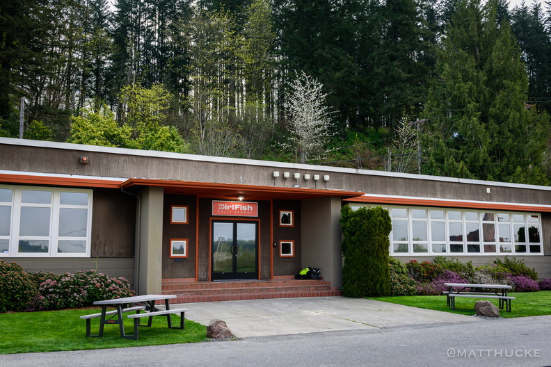 Sheriff's Department (Twin Peaks)
Building used for the filming of the TV series Twin Peaks, as the office of Sheriff Truman. It now belongs to Dirtfish Rally School. Special thanks to Lisa (pictured) for letting me explore. -
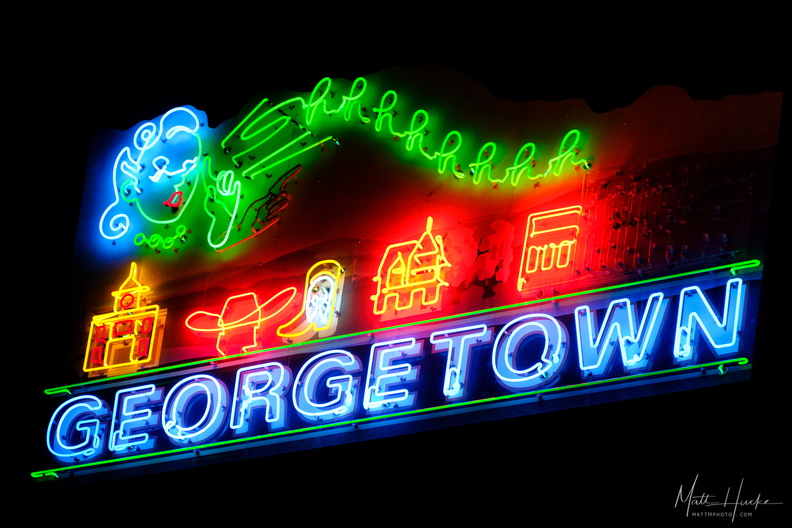 Shhhhhhhh... GEORGETOWN
-
 Shiftless in Seattle
Smith-Premier No. 10 Typewriter, 1908. Separate keys were used for lowercase and uppercase. -
 Sign of the Goat
-
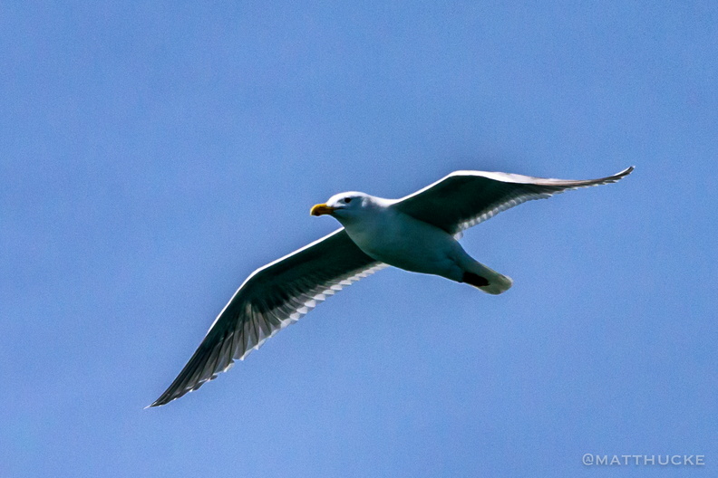 Sir William
-
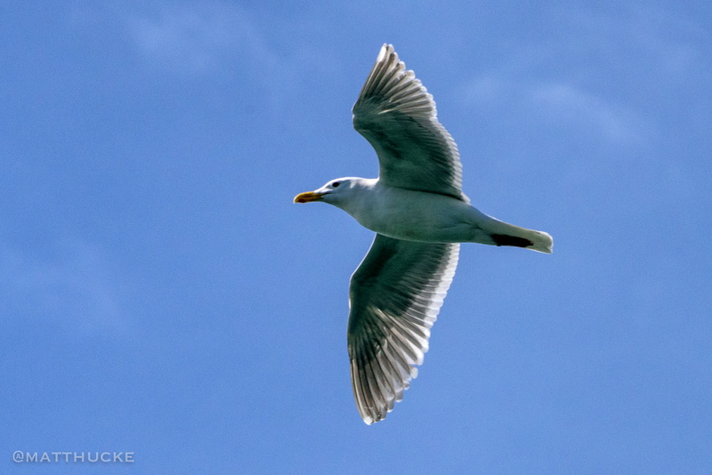 Sir William
-
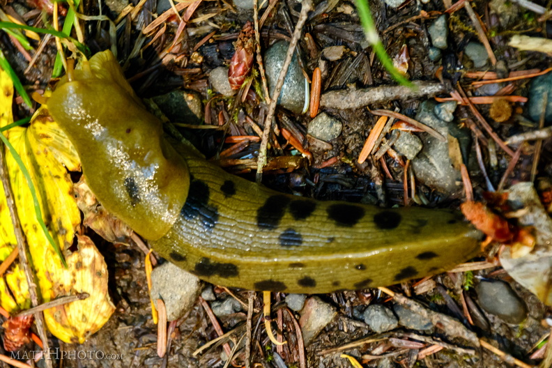 Slugs for the Slug God!
Banana slug, about 4-5 inches, Hoh rainforest. -
 Smith & Moon
-
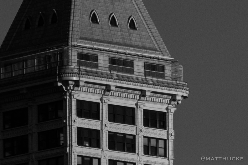 Smith Tower Observation Deck
-
 Snags
Snags
Standing dead trees, looking north from Sunrise Point (6130ft), Mount Rainier National Park. -
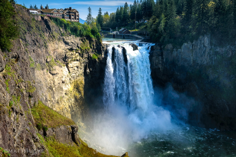 Snoqualmie Falls
-
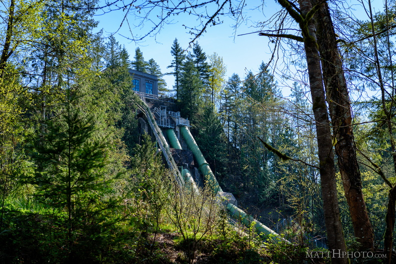 Snoqualmie Falls Hydroelectric Plant
-
 Snoqualmie in the mist
Salish Lodge and Snoqualmie Falls, as seen about 9 am, before the morning mist clears. -
 Soap Lake
-
 Soap Lake
-
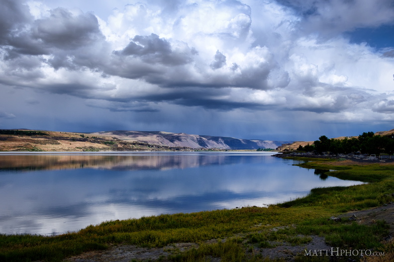 Soap Lake
A remnant of the prehistoric Missoula Floods in Central Washington, this lake has layers of water that do not intermix and a high mineral content. The water was thought to have curative powers and many spas were erected nearby in the 19th and 20th centuries. -
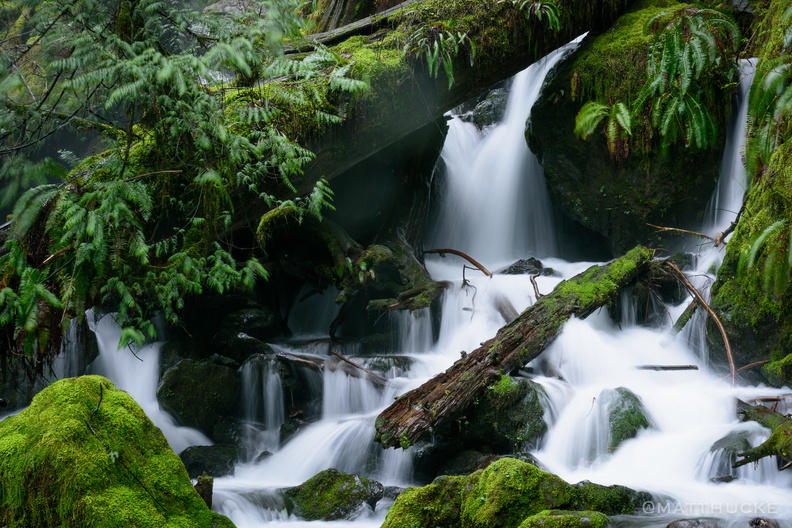 Soft water, cold water, falling to the earth
Close-up of lower level of Merriman Falls, Olympic Peninsula. -
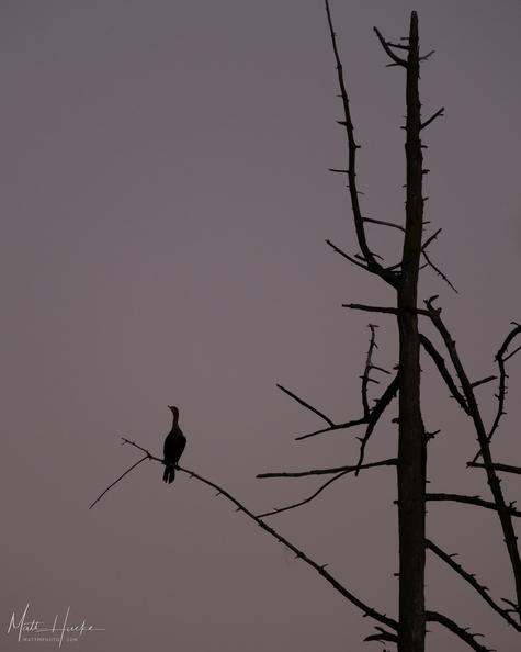 Solitude
-
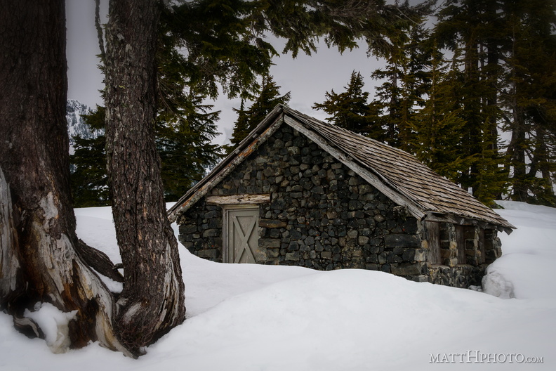 Solitude
Shed near Heather Meadows, Mount Baker -
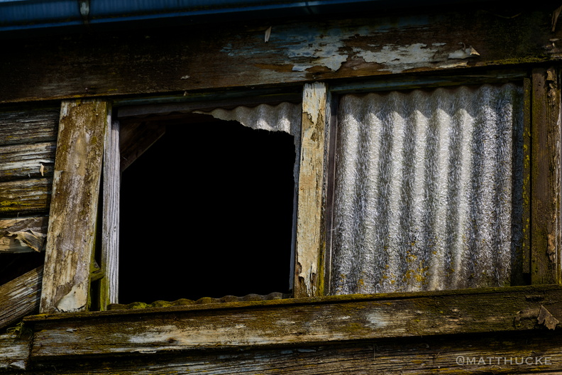 Something escaped
Abandoned warehouse on the waterfront, La Conner WA -
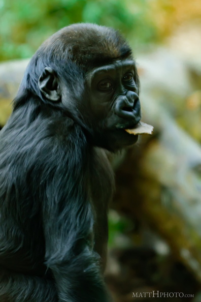 Something in my mouth
-
 Sourdough Ridge
Viewed from trails near Sunrise visitor center. Unnamed 6951-foot peak, and 7017-foot Antler peak. -
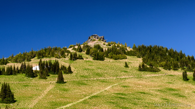 Sourdough Ridge Peak
6951-foot unnamed peak west of Antler Peak. -
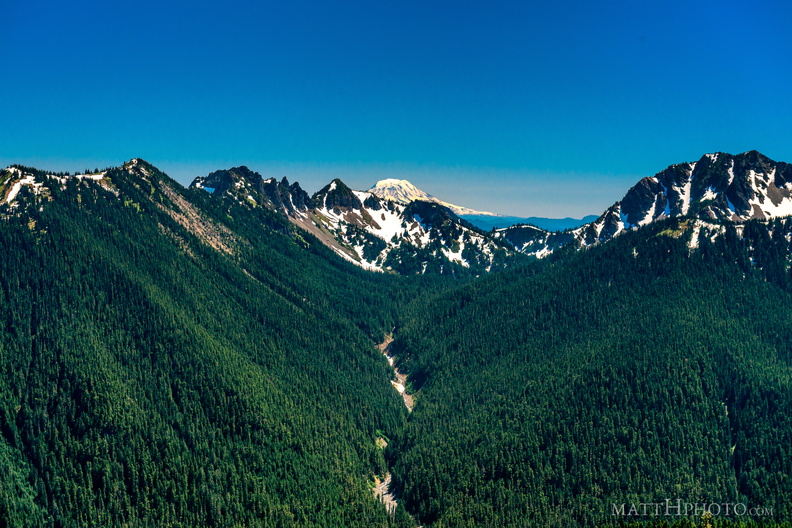 South from Sunrise Point
View from Sunrise Point, Mount Rainier National Park. Mount Adams is in the distance; in the foreground are Governors Ridge, Barrier Peak, and Tamanos Mountain. -
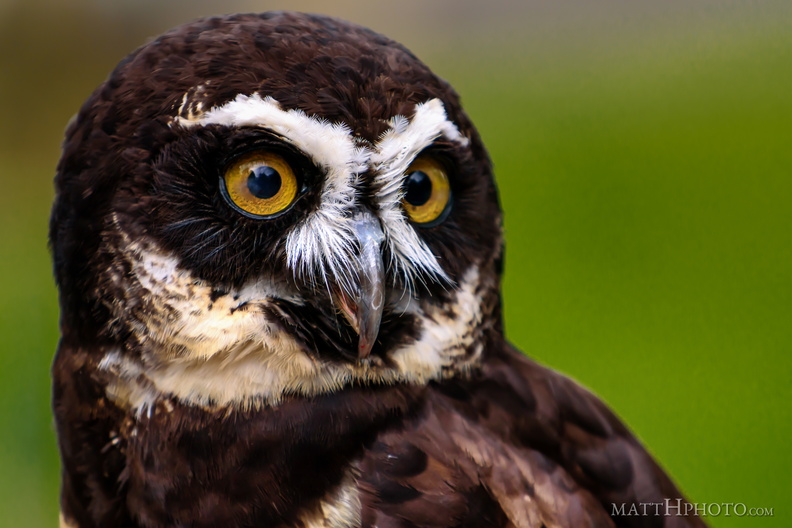 Spectacled Owl