« 2016
2018 »
January
February
March
April
May
June
July
August
September
October
November
December
All

-
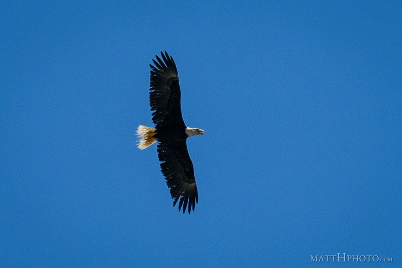 Over Lower Queen Anne
A visitor appeared a few blocks west of the Space Needle, shortly after the gay pride flag was hoisted. Harassed by seagulls, he or she eventually flew off to the south. -
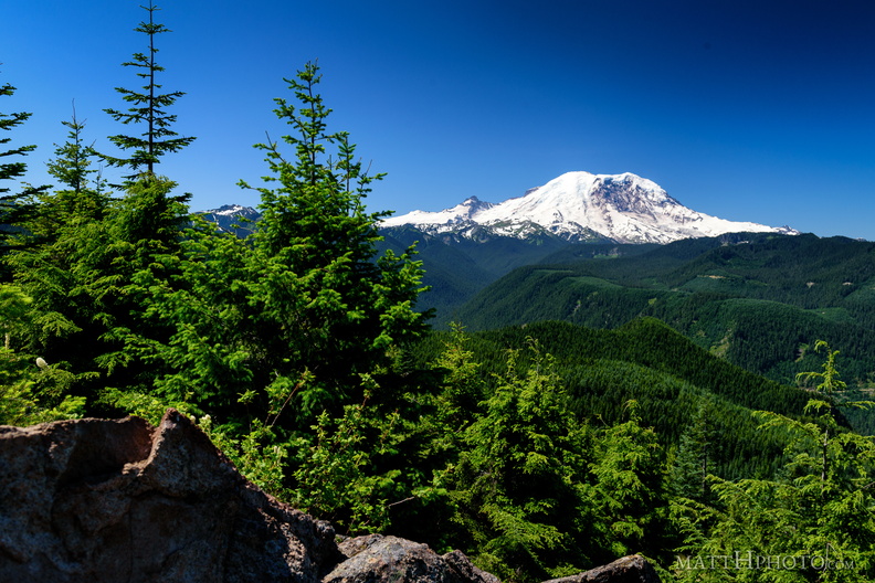 Sun Top Fire Lookout
-
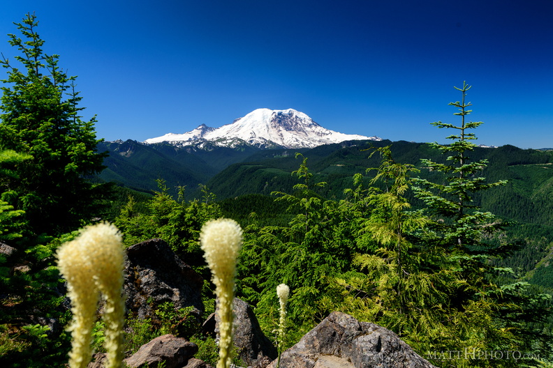 Sun Top Fire Lookout
-
 Sun Top Fire Lookout
-
 Sun Top Fire Lookout
-
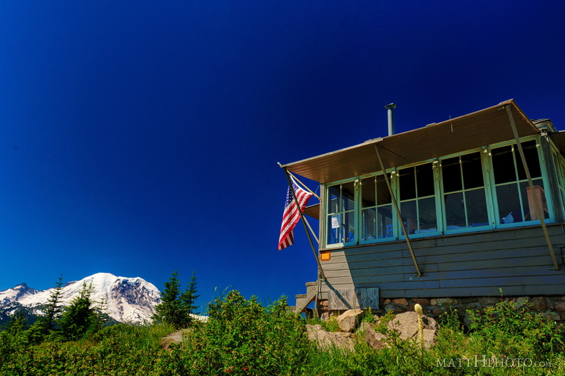 Sun Top Fire Lookout
-
 Sun Top Fire Lookout
Built 1934, elevation 1 mile (5280 feet). -
 Sun Top Fire Lookout
-
 Sun Top Fire Lookout
-
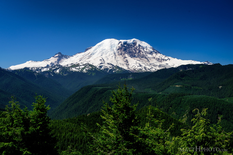 The North Face
From Sun Top Fire Lookout -
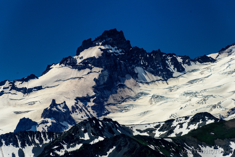 Little Tahoma
From Sun Top Fire Lookout -
 The North Face
From Sun Top Fire Lookout -
 Going Nowhere Solo
-
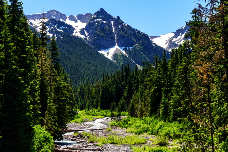 Fryingpan Creek to Banshee Peak
Fryingpan Creek, from the Sunrise Road bridge, with Banshee Peak and Sarvant Glacier in the distance. -
 Fryingpan Creek to Banshee Peak
Fryingpan Creek, from the Sunrise Road bridge, with Banshee Peak and Sarvant Glacier in the distance. -
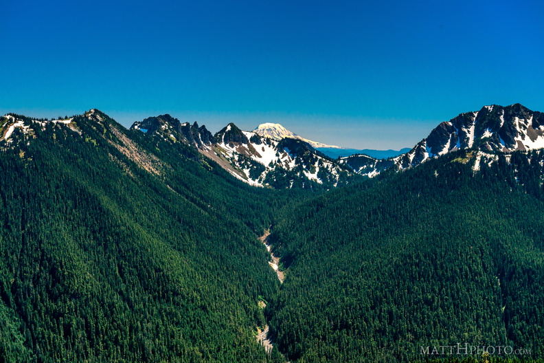 South from Sunrise Point
View from Sunrise Point, Mount Rainier National Park. Mount Adams is in the distance; in the foreground are Governors Ridge, Barrier Peak, and Tamanos Mountain. -
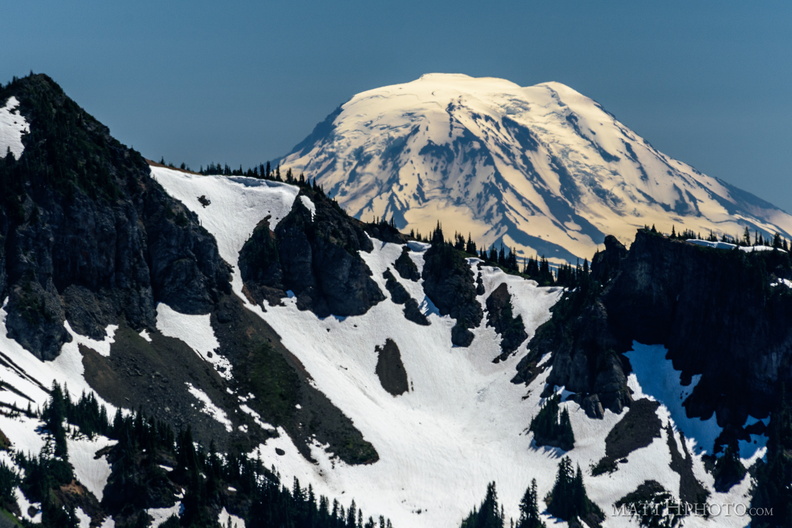 Mount Adams (from Rainier)
View from Sunrise Point, Mount Rainier National Park. Barrier Peak is in the foreground. -
 Sunrise Point
View from Sunrise Point, Mount Rainier National Park -
 From Sunrise Point, the Mountain
-
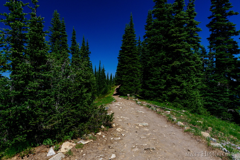 Palisades Lakes Trail
View from Sunrise Point, Mount Rainier National Park -
 Sunrise Lake and Palisades Peak
Marcus Peak and Palisades Peak, above Sunrise Lake. Looking north from Sunrise Point (6130ft), Mount Rainier National Park. -
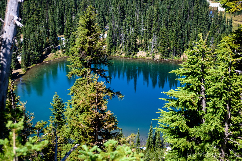 Sunrise Lake
From Sunrise Point (6130ft), Mount Rainier National Park. -
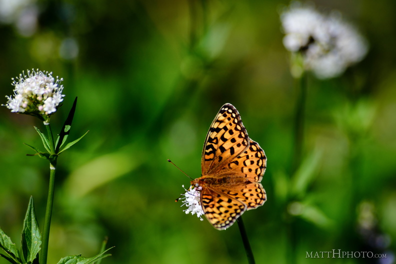 A spot of colour
From Sunrise Point (6130ft), Mount Rainier National Park. -
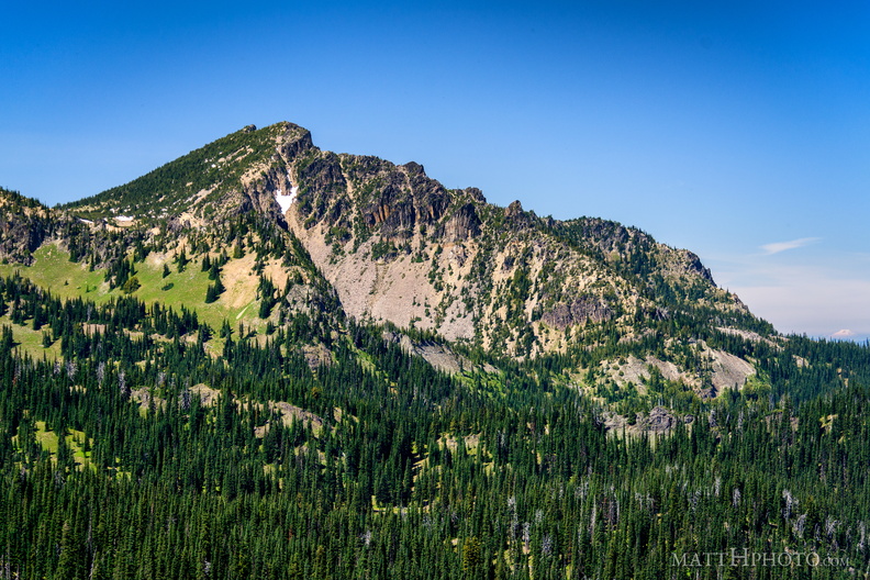 Palisades Peak
Palisades Peak (7000ft), named for it columnar basalt formations resembling a defensive wall. Looking northwest from Sunrise Point (6130ft), Mount Rainier National Park. At right, Mount Baker can be seen on the horizon, about 125 miles north. -
 Snags
Snags
Standing dead trees, looking north from Sunrise Point (6130ft), Mount Rainier National Park. -
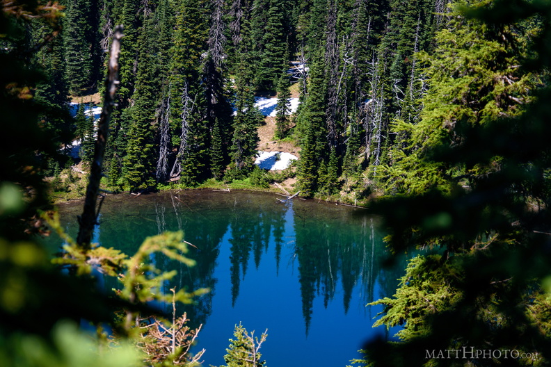 Sunrise Lake
Sunrise Lake (5730 ft), looking north from Sunrise Point (6130ft), Mount Rainier National Park. -
 Rainier from Sunrise Point
Rainier summit, looking west from Sunrise Point (6130ft), Mount Rainier National Park. -
 Lenticular
Lenticular cloud, looking east from Sunrise Point (6130ft), Mount Rainier National Park. -
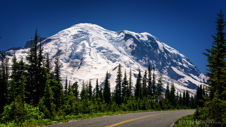 Sunrise Road
-
 Sunrise Road
-
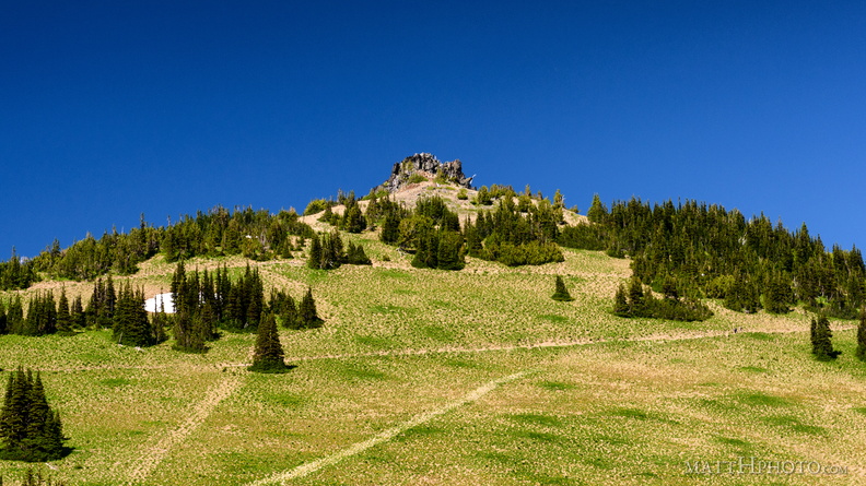 Sourdough Ridge Peak
6951-foot unnamed peak west of Antler Peak. -
 Sourdough Ridge
Viewed from trails near Sunrise visitor center. Unnamed 6951-foot peak, and 7017-foot Antler peak. -
 Rainier from Sunrise
-
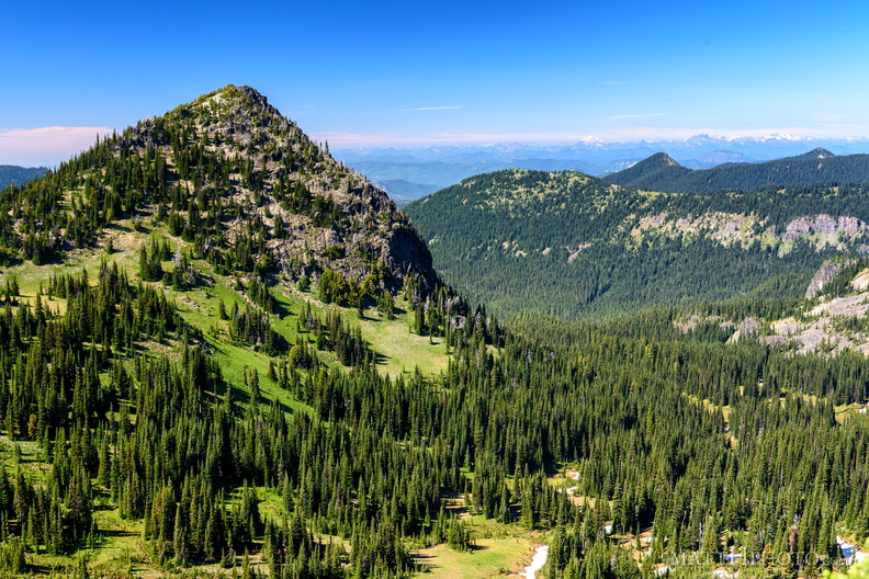
 McNeeley Peak
McNeeley Peak (6786 feet) and Huckleberry Basin, seen from Sourdough Ridge Trail, west of Sunrise Visitor Center. -
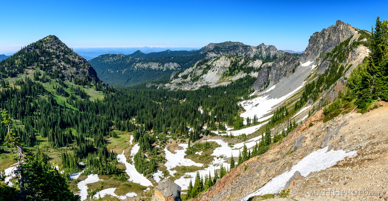
 McNeeley Peak
McNeeley Peak (6786 feet) and Huckleberry Basin, seen from Sourdough Ridge Trail, west of Sunrise Visitor Center. -
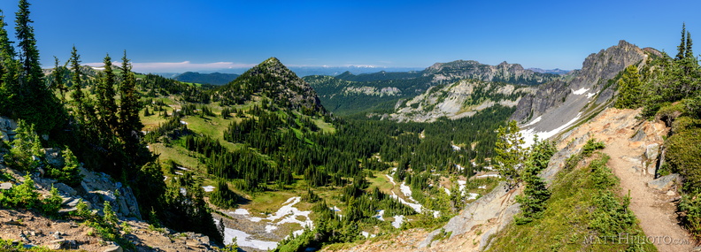
 McNeeley Peak
McNeeley Peak (6786 feet) and Huckleberry Basin, seen from Sourdough Ridge Trail, west of Sunrise Visitor Center. -
 McNeeley Peak
McNeeley Peak (6786 feet) and Huckleberry Basin, seen from Sourdough Ridge Trail, west of Sunrise Visitor Center. -
 Look at me, I'm on a ridge.
Sourdough Ridge, Frozen Lake Trail, Mount Rainier National Park. -
 Rainier Raven
It's a corvid. -
 Glaciers in Moonlight
Mount Rainier at Reflection Lake in the light of the full moon -
 Morning at Kautz Creek
Mount Rainier National Park -
 Paradise
Paradise Visitor Center, Mount Rainier -
 ...of all the alpine gardens
-
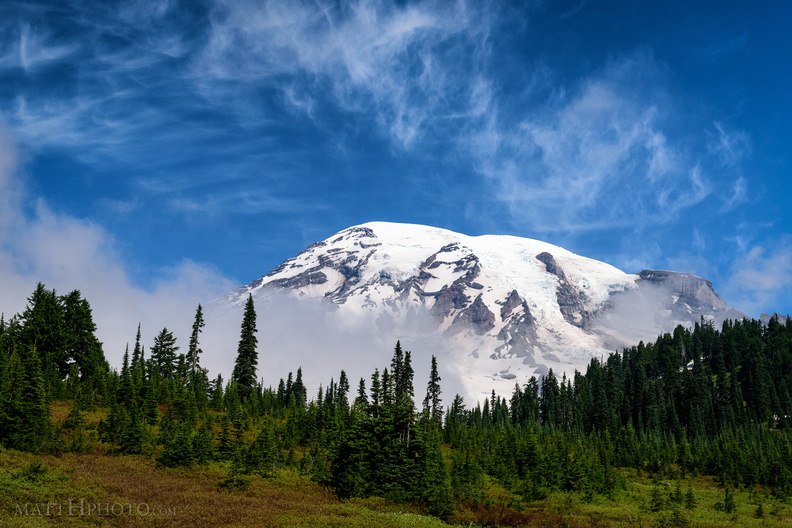 Cool Mist
From Paradise Visitor Center, Mount Rainier National Park. As I watched, a cloud settled on the mountain, and remained there most of the day. -
 Pinnacle of the Tatoosh
Left to right, an unnamed peak, Pinnacle Peak, and Plummer Peak, of the Tatoosh Range. -
 Waterfall by Louise Lake
Tiny waterfall, unknown name, across the road from Louise Lake at Mount Rainier. -
 Louise Lake, Mount Rainier National Park
Mount Rainier's summit is off to the left, and was obscured by cloud for most of this day. The red flowers in the foreground are Western Columbine (Aquilegia formosa). Photo was taken from the edge of Stevens Canyon Road. Probably was named for Christine Louise Van Trump (1880-1907), daughter of Rainier explorer Philemon Van Trump. -
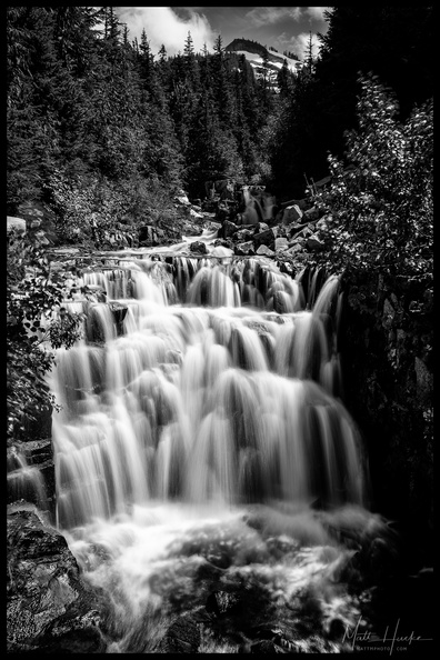 Sunshine Creek
Stevens Canyon Road, near Louise Lake, Mount Rainier National Park -
 Stevens Canyon
-
 Falls Creek Falls (Rainier)
A small roadside waterfall near the southeast entrance of Mount Rainier National Park.