Home / Keyword washington 507

-
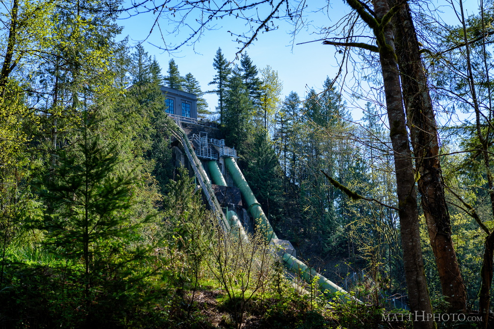 Snoqualmie Falls Hydroelectric Plant
-
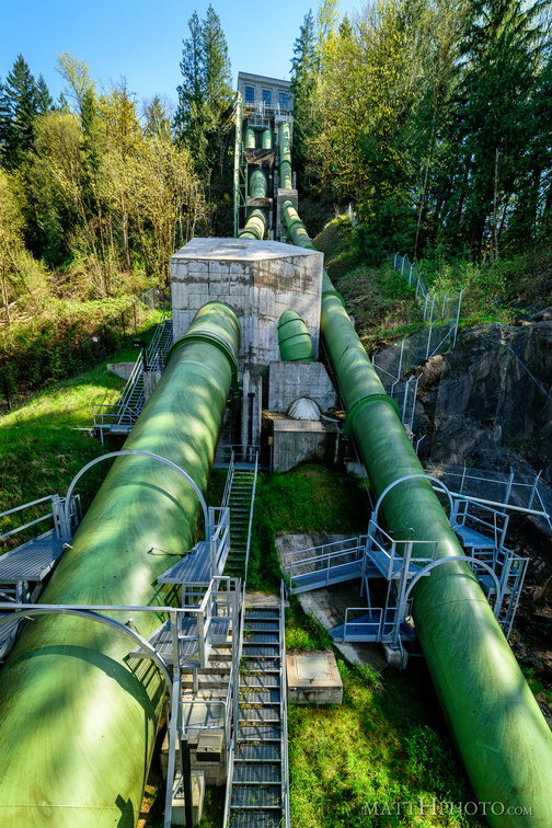 Big Pipes
Hydroelectric power station at Snoqualmie Falls -
 Top of Snoqualmie Falls
-
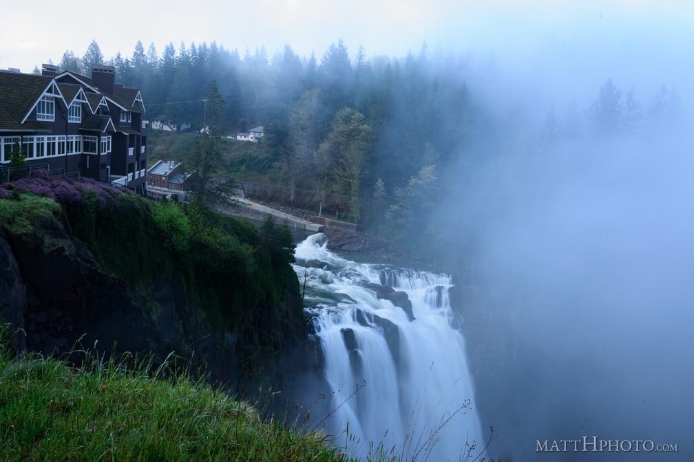 Snoqualmie in the mist
Salish Lodge and Snoqualmie Falls, as seen about 9 am, before the morning mist clears. -
 Crumbly Crescent Cliff
Cliff adjacent to Lake Crescent. Netting has been put up to slow erosion. -
 Lake Crescent Lay-By
Looking west towards Fairholme. -
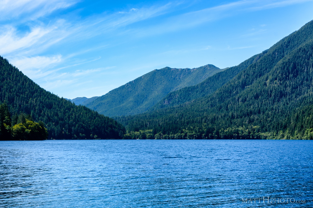 Lake Crescent
Looking west, towards Fairholme. -
 Mount Storm King
Mount Storm King at Lake Crescent -
 Sourdough Mountain, Lake Crescent
-
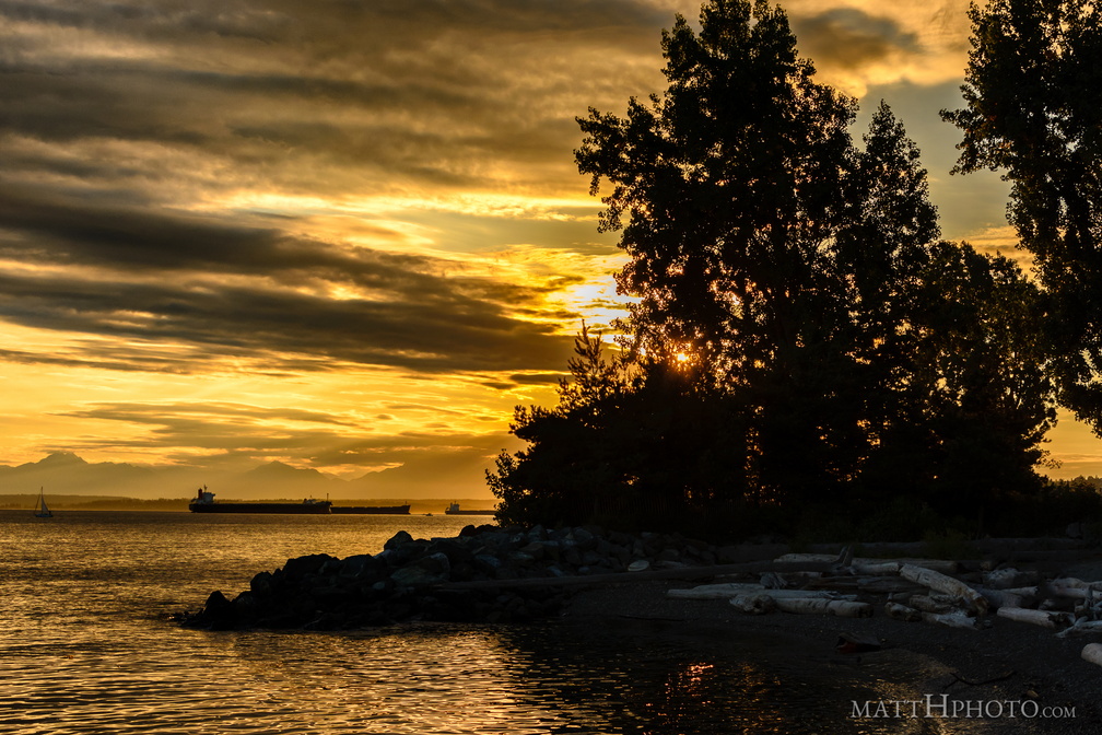 Myrtle Edwards Park
-
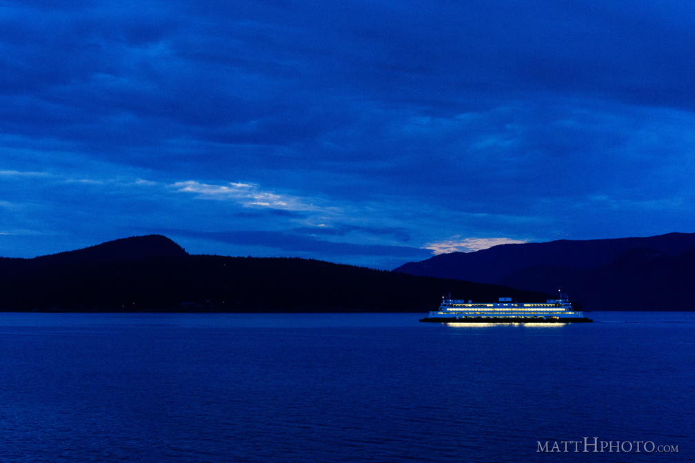 San Juans Night Boat
-
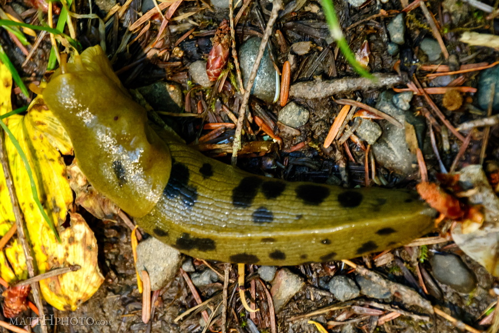 Slugs for the Slug God!
Banana slug, about 4-5 inches, Hoh rainforest. -
 Rainier resident
Bird seen at Inspiration Point, near Paradise, Rainier National Park. If you know the species, please tell me. -
 Eagle and Tumtum
Eagle Peak (5958 ft). In the distance, right, Tumtum Peak (4678 ft) behind Rampart Ridge. Mount Rainier National Park -
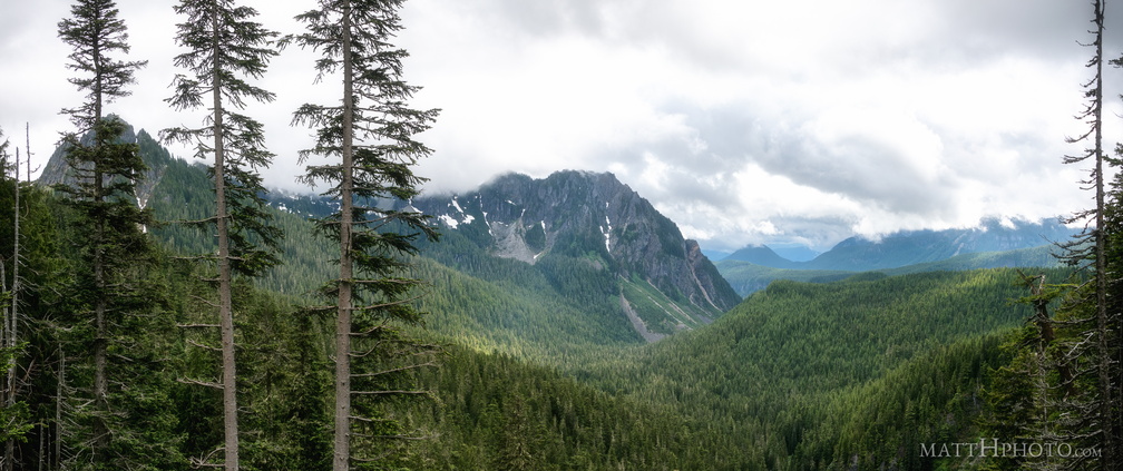 Inspiration Point
Lane Peak (6012 ft) and Eagle Peak (5958 ft) from Inspiration Point, Stevens Canyon Road, Mount Rainier National Park. 3-shot panorama. -
 Narada Falls
Narada Falls, as seen from Stevens Canyon Road, Mount Rainier National Park -
 Eagle, between the trees
Eagle Peak (5958ft) from Inspiration Point, Stevens Canyon Road, in Mount Rainier National Park -
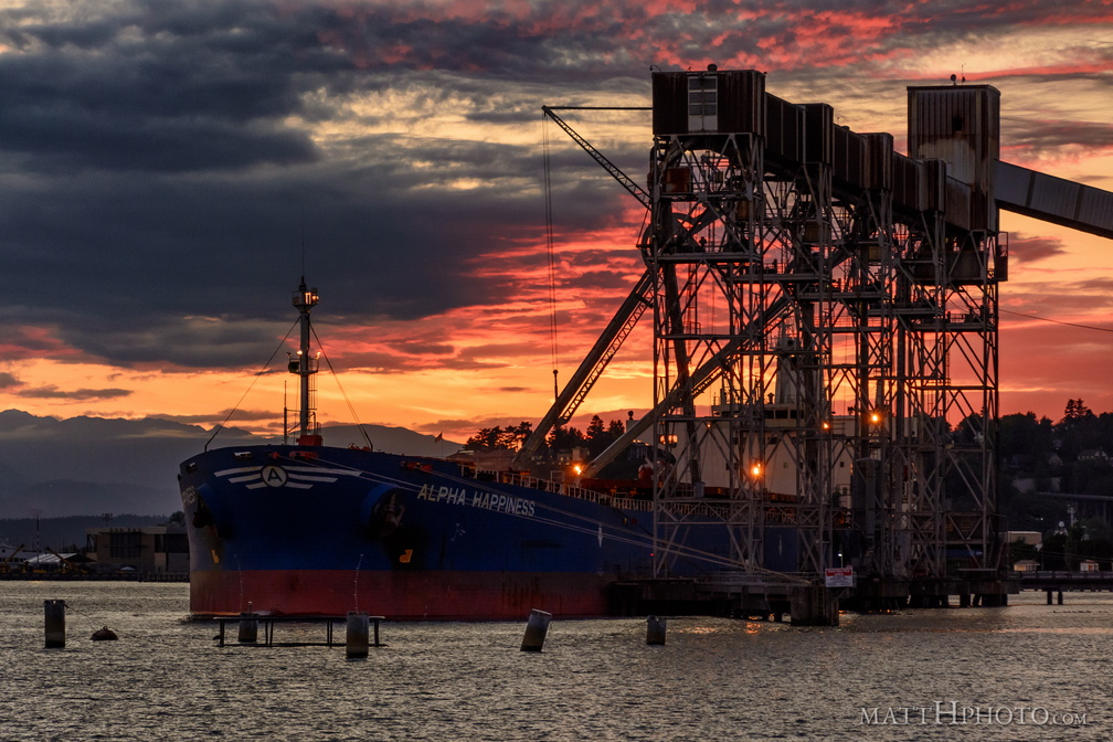 Alpha Happiness
Bulk Carrier "Alpha Happiness", registration Athens, at Seattle Pier 86 Grain Terminal -
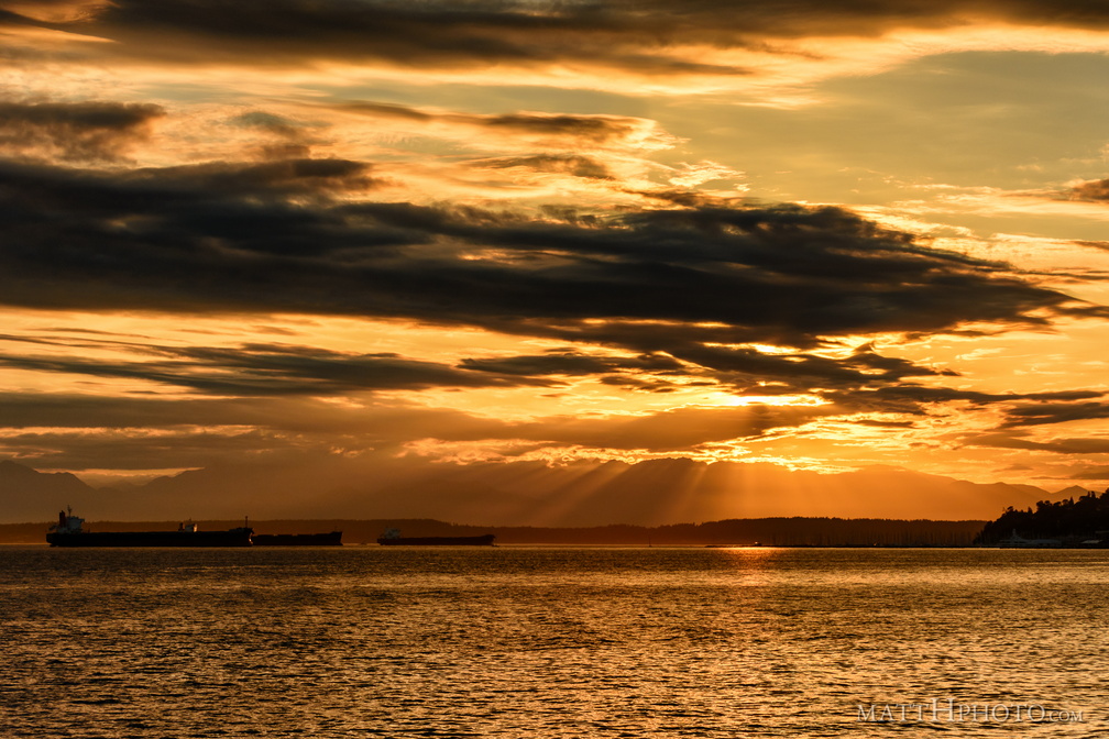 that orange sound
-
 Lake Crescent and Pyramid Mountain
Looking north across Lake Crescent at Pyramid Mountain. Mount Storm King is in the distance, right of center, and Aurora Peak rises on the right side of the frame. Panorama merge from 9 images, 18mm (crop sensor; 27mm equiv). Field of view is about 200 degrees. -
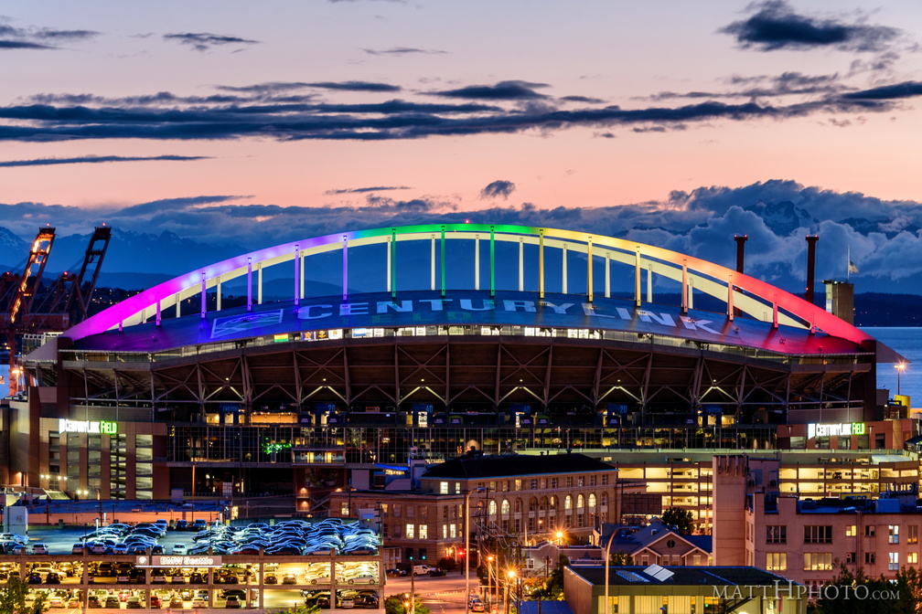 Pride and Sorrow
Seattle's Centurylink Field, after the Orlando massacre -
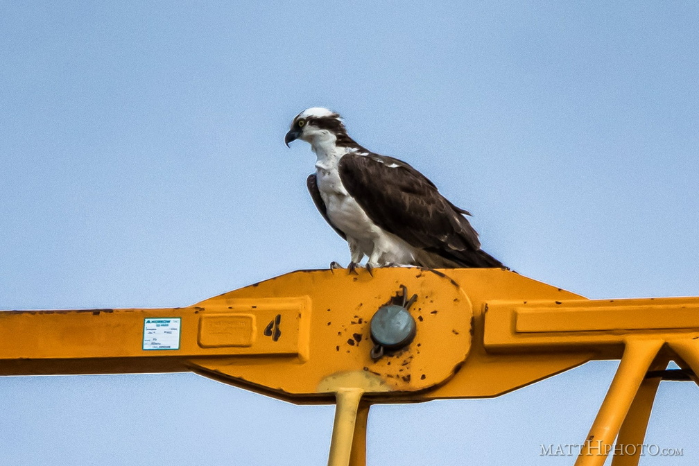 Cranebird
Osprey on a construction crane in Seattle -
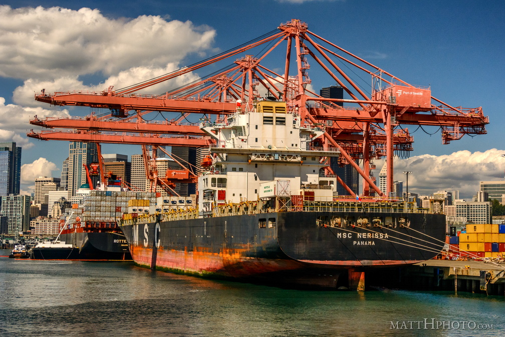 MSC Nerissa in the Port of Seattle
-
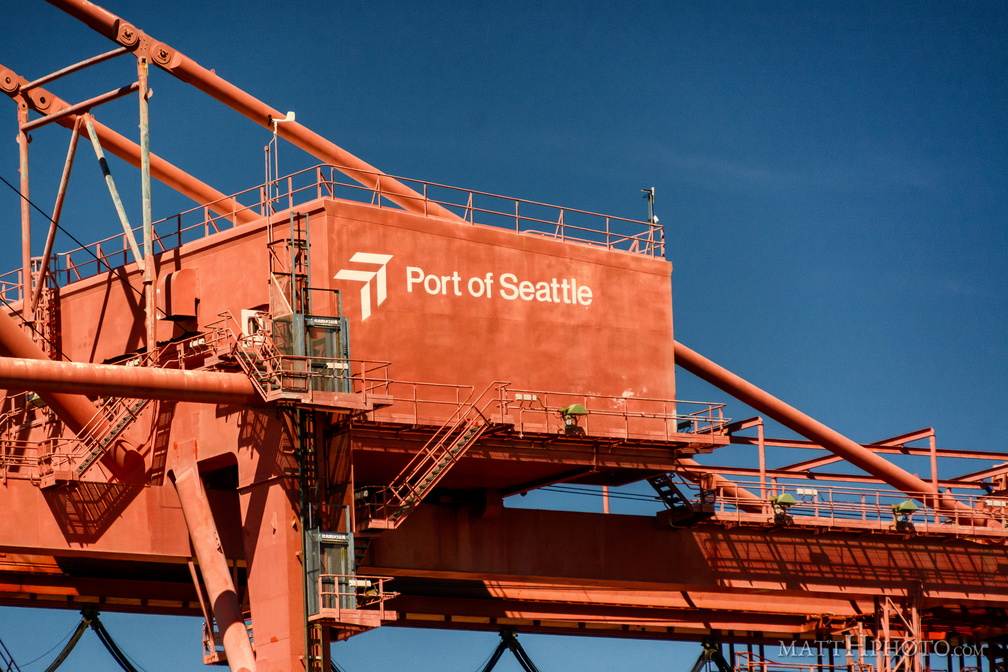 Port of Seattle
-
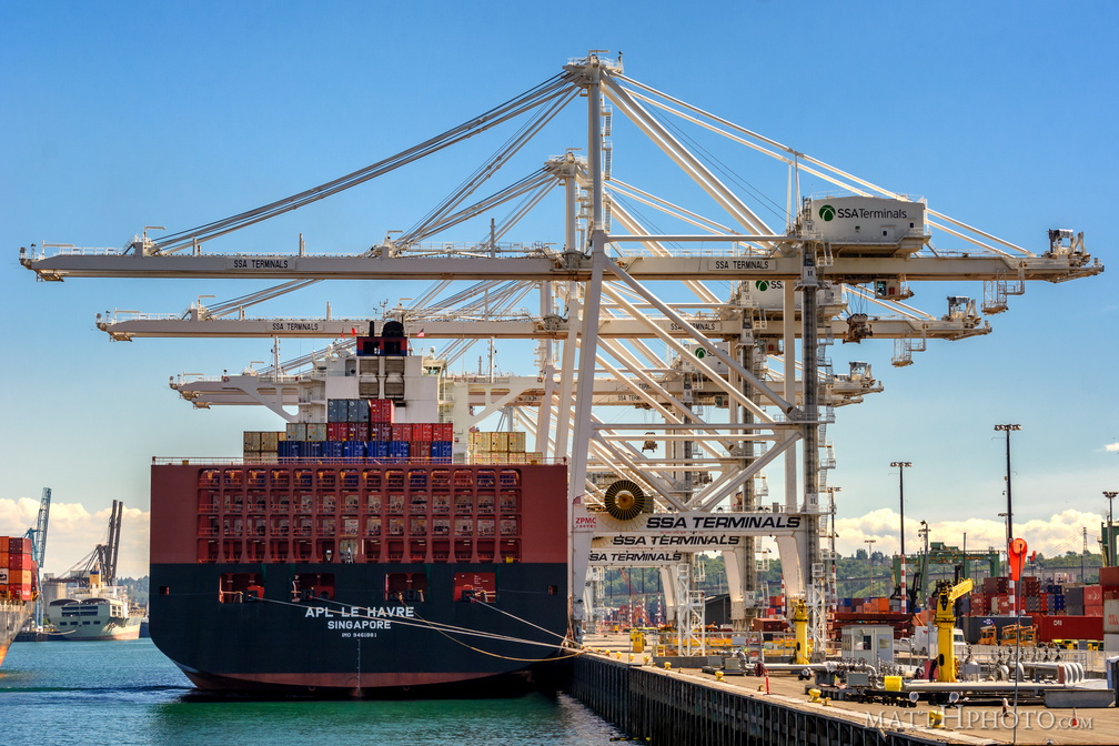 Apl Le Havre, Singapore
-
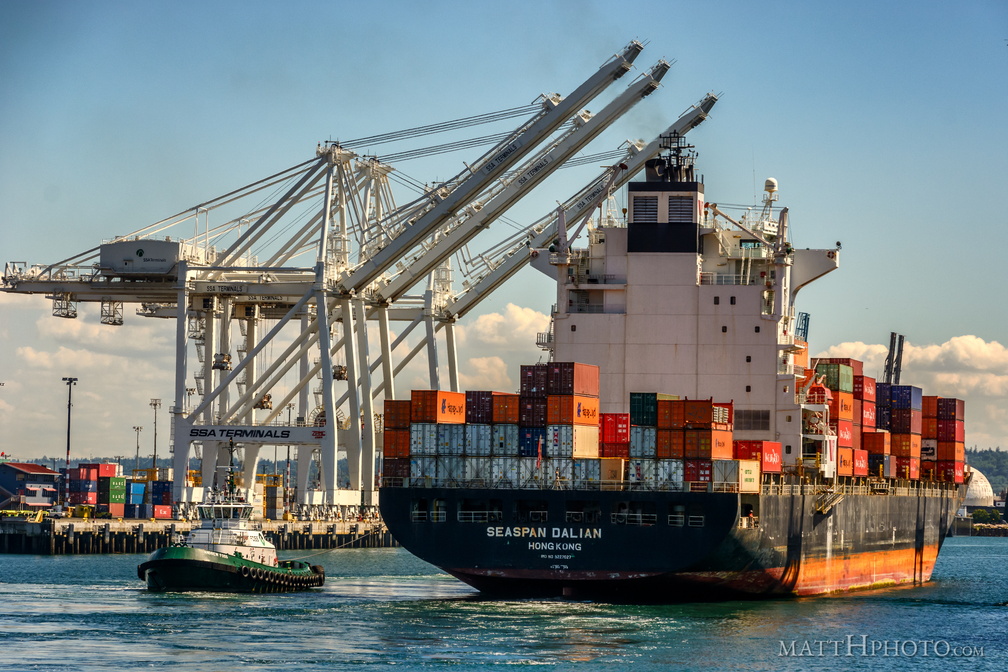 Seaspan Dalian, Port of Seattle
-
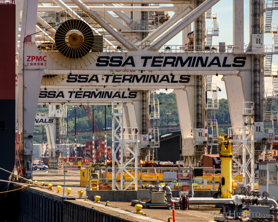 SSA Terminals
-
 Seaspan Dalian, Hong Kong
-
 MSC Nerissa in the Port of Seattle
-
 Containers
-
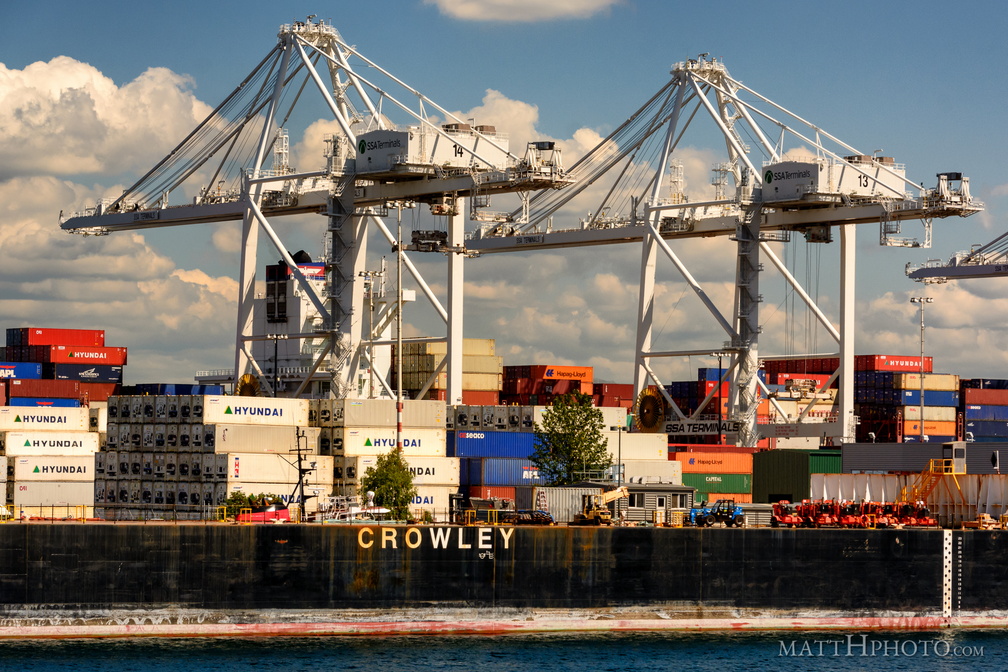 Mister Crowley
-
 Things that are white
-
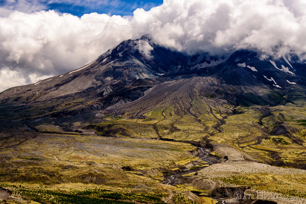 Boom.
Boom.
Mount St Helens, 36 years after the blast. -
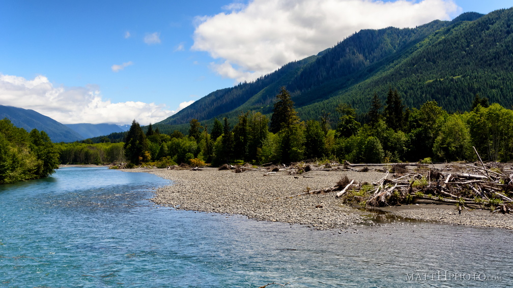 Hoh River
-
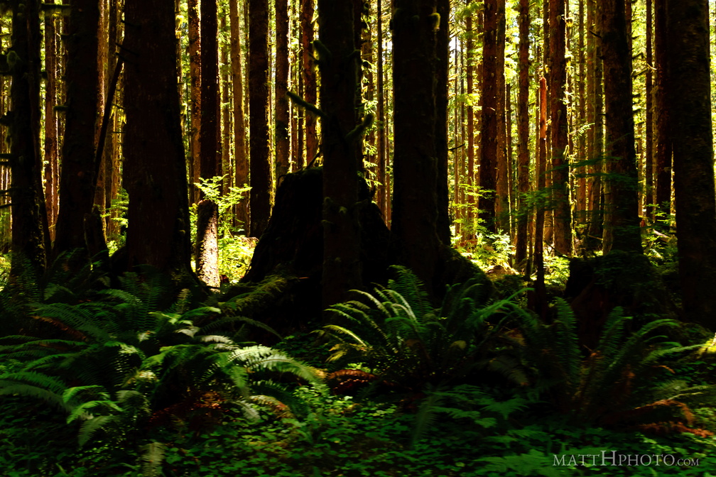 This is the forest primeval. The murmuring pines and the hemlocks...
-
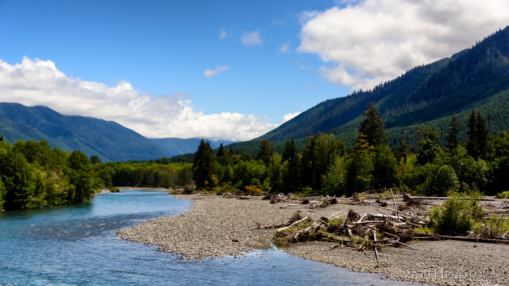 Hoh River
-
 Hoh River
-
 Hoh River
-
 Hoh River
-
 Hoh River
-
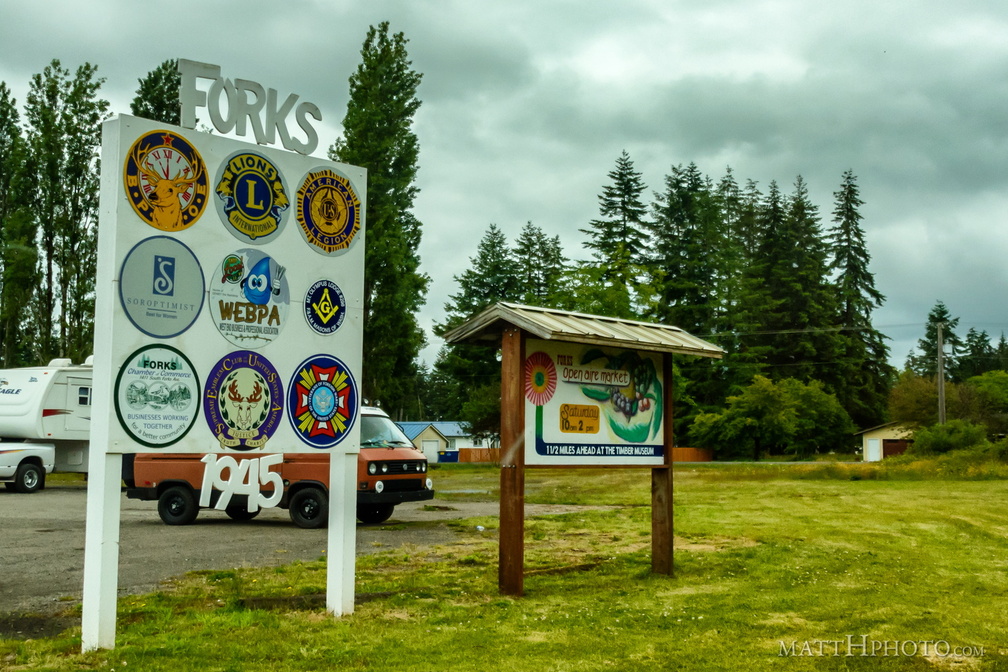 Forks (1945)
-
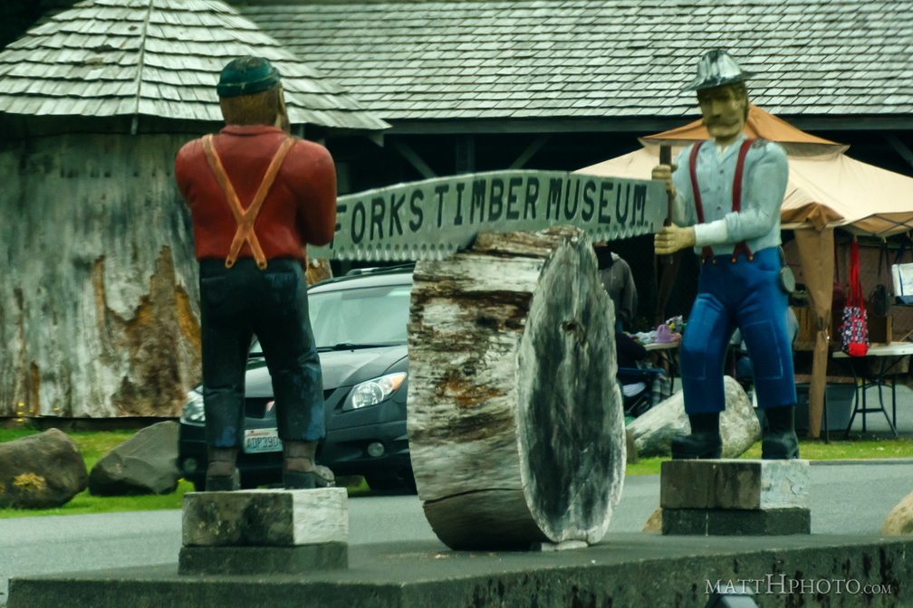 Forks Timber Museum
-
 Iron asterisk
-
 Sea Rock
-
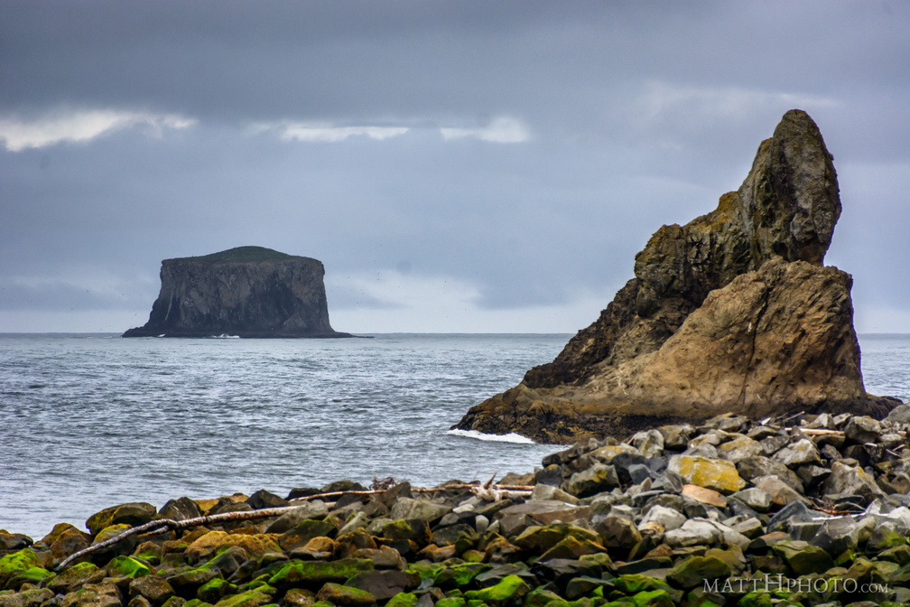 Big Rocks
-
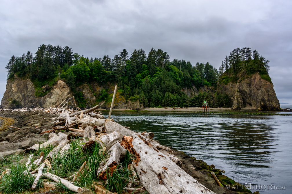 Jetty and James Island
-
 Little James Island
-
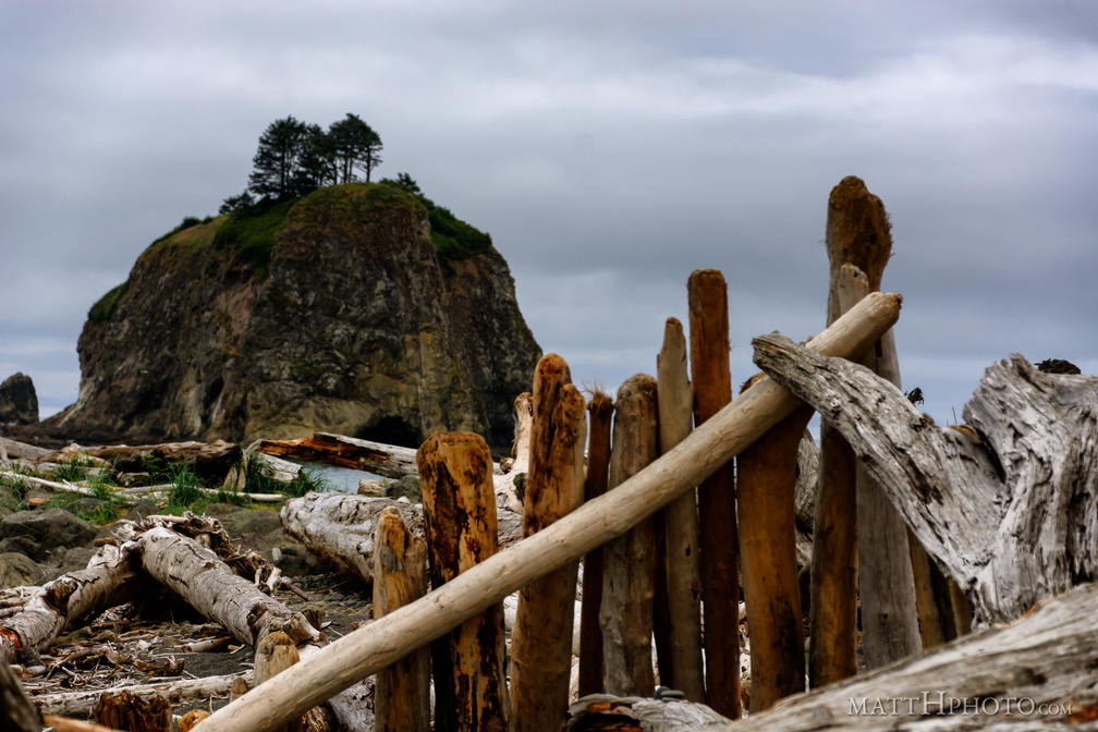 Beach Palisade
-
 Sign of the Goat
-
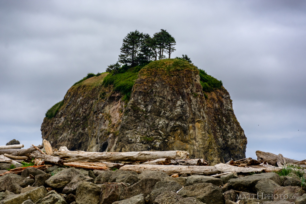 Sea Stack