Home / Keyword washington 507

-
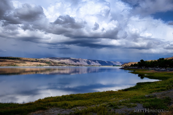 Soap Lake
A remnant of the prehistoric Missoula Floods in Central Washington, this lake has layers of water that do not intermix and a high mineral content. The water was thought to have curative powers and many spas were erected nearby in the 19th and 20th centuries. -
 Soft water, cold water, falling to the earth
Close-up of lower level of Merriman Falls, Olympic Peninsula. -
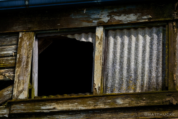 Something escaped
Abandoned warehouse on the waterfront, La Conner WA -
 Sourdough Mountain, Lake Crescent
-
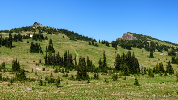 Sourdough Ridge
Viewed from trails near Sunrise visitor center. Unnamed 6951-foot peak, and 7017-foot Antler peak. -
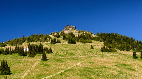 Sourdough Ridge Peak
6951-foot unnamed peak west of Antler Peak. -
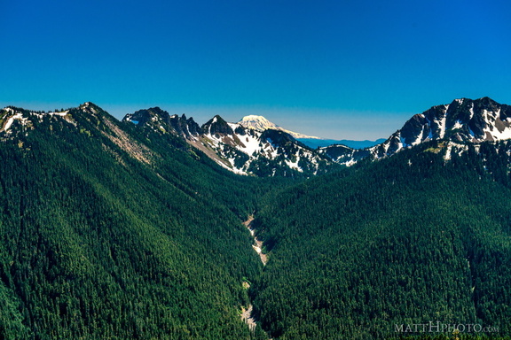 South from Sunrise Point
View from Sunrise Point, Mount Rainier National Park. Mount Adams is in the distance; in the foreground are Governors Ridge, Barrier Peak, and Tamanos Mountain. -
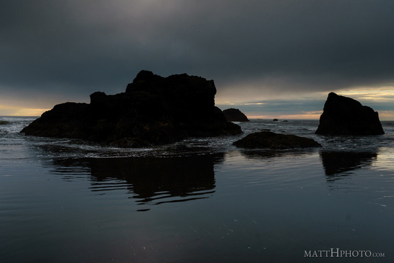 South Rocks
Ruby Beach (Olympic National Park) -
 Spinning wheels
Prayer wheels in motion at earthsanctuary.org -
 Spoon Creek Falls
Olympic National Forest, Washingto -
 Spoon Creek Falls
Olympic National Forest, Washington -
 Spoon Creek Falls
Olympic National Forest, Washingto -
 Spoon Creek Falls Trail
Olympic National Forest, Washingto -
 Squall at La Push
A tiny storm approached the coast at La Push, Washington, bringing about ten minutes of intense hail and rain. -
 SSA Terminals
-
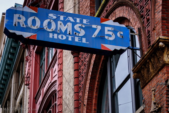 State Hotel, Rooms 75c
Skid Row daily-use hotel, 1960s. -
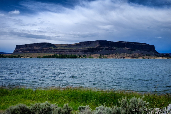 Steamboat Rock
-
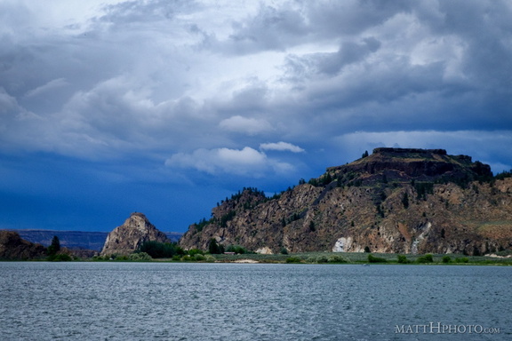 Steamboat Rock State Park
-
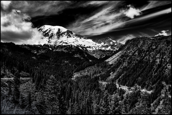 Stevens Canyon
-
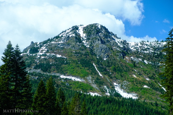 Stevens Pass
-
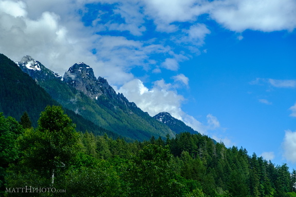 Stevens Pass
-
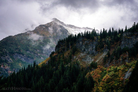 Stevens Peak
Stevens Peak, viewed from opposite side of Stevens Canyon, Mount Rainier National Park. A ridge connected to Unicorn Peak is in the foreground. -
 such verticals
-
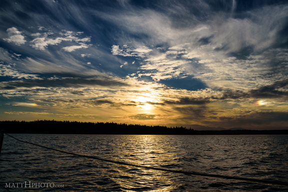 Sun Dogs over Puget Sound
-
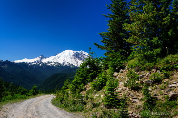 Sun Top Fire Lookout
-
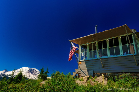 Sun Top Fire Lookout
-
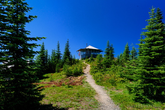 Sun Top Fire Lookout
-
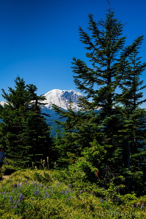 Sun Top Fire Lookout
-
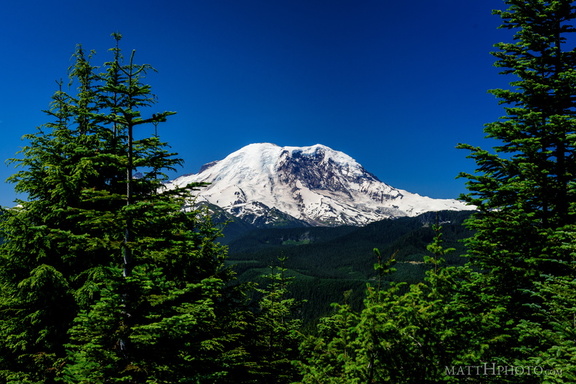 Sun Top Fire Lookout
-
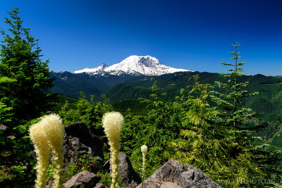 Sun Top Fire Lookout
-
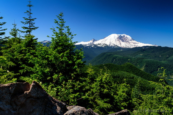 Sun Top Fire Lookout
-
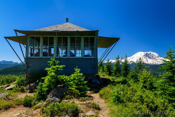 Sun Top Fire Lookout
Built 1934, elevation 1 mile (5280 feet). -
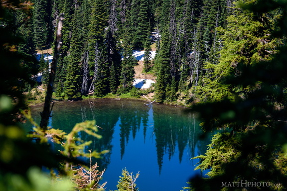 Sunrise Lake
Sunrise Lake (5730 ft), looking north from Sunrise Point (6130ft), Mount Rainier National Park. -
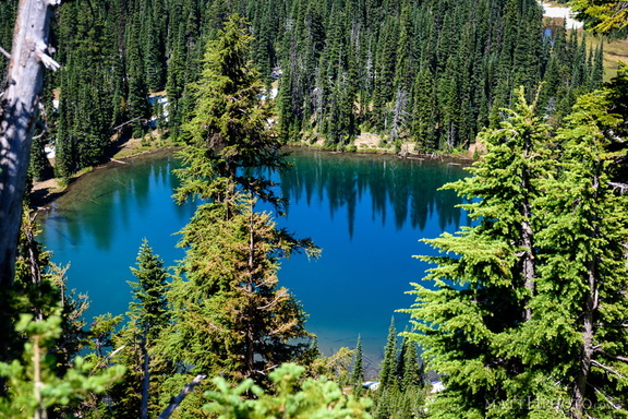 Sunrise Lake
From Sunrise Point (6130ft), Mount Rainier National Park. -
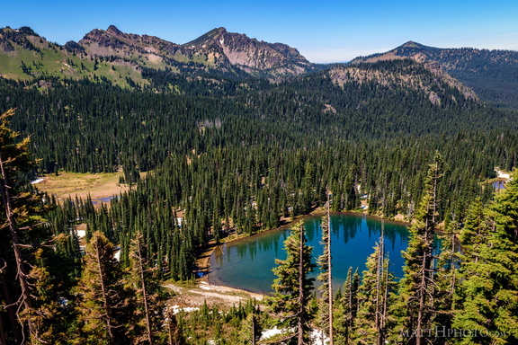 Sunrise Lake and Palisades Peak
Marcus Peak and Palisades Peak, above Sunrise Lake. Looking north from Sunrise Point (6130ft), Mount Rainier National Park. -
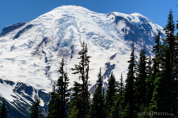 Sunrise Point
View from Sunrise Point, Mount Rainier National Park -
 Sunset on James Island
-
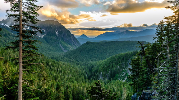 Sunset on the Tatoosh Range
-
 Sunshine Creek
Stevens Canyon Road, near Louise Lake, Mount Rainier National Park -
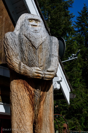 Tavern Sasquatch
Naches Tavern, Enumclaw Washingto -
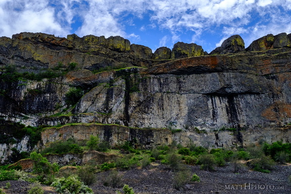 Teeth of the Coulee
Grand Coulee, alongside Banks Lake -
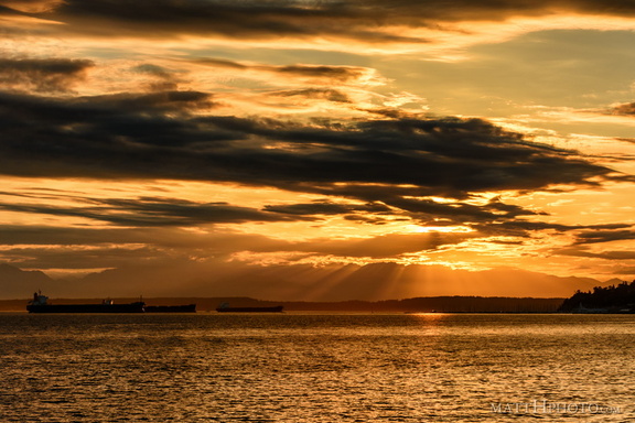 that orange sound
-
 That's a big waterfall
Silver Falls, on the Ohanapecosh River, Mount Rainier National Park -
 That's Me in the Corner
Population of the contiguous U.S. north and west of me: Zero. Cape Flattery, WA, northwesternmost point of lower 48. -
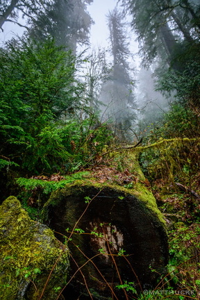 The Fallen One
Colonel Bob Trail, near Lake Quinault, Olympic National Forest -
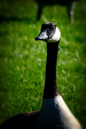 The Gander
-
 The Lovers
-
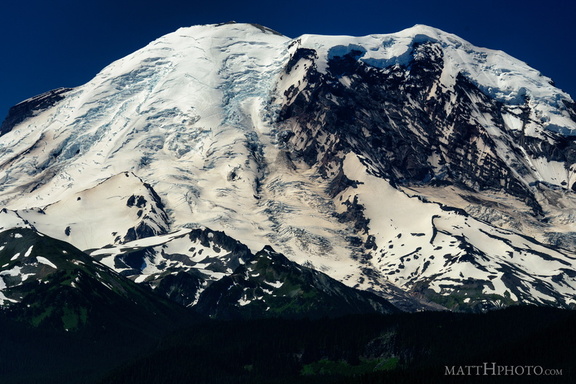 The North Face
From Sun Top Fire Lookout -
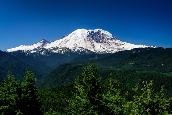 The North Face
From Sun Top Fire Lookout -
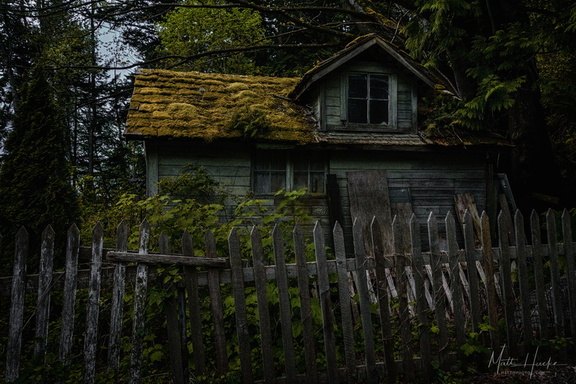 The Shunned House
Near Taylor Shellfish Farms, Chuckanut Drive, Bow WA