Home / Keyword washington 507

-
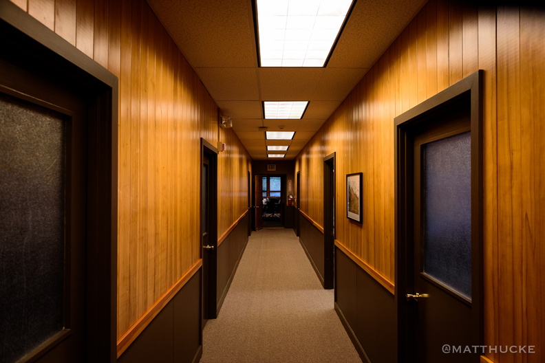 Agent Cooper walked this hall
Building used for the filming of the TV series Twin Peaks, as the office of Sheriff Truman. It now belongs to Dirtfish Rally School. Special thanks to Lisa (pictured) for letting me explore. -
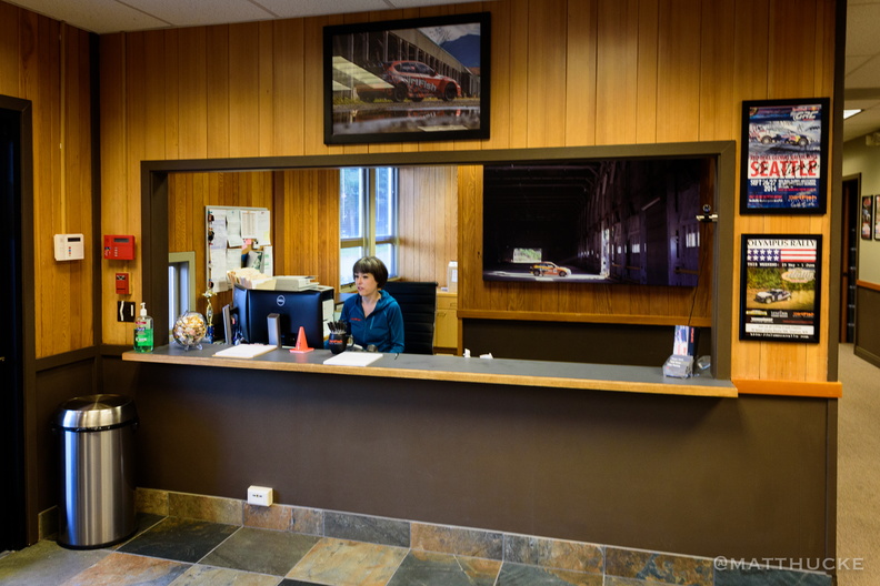 Sheriff's Department (Twin Peaks)
Building used for the filming of the TV series Twin Peaks, as the office of Sheriff Truman. It now belongs to Dirtfish Rally School. Special thanks to Lisa (pictured) for letting me explore. -
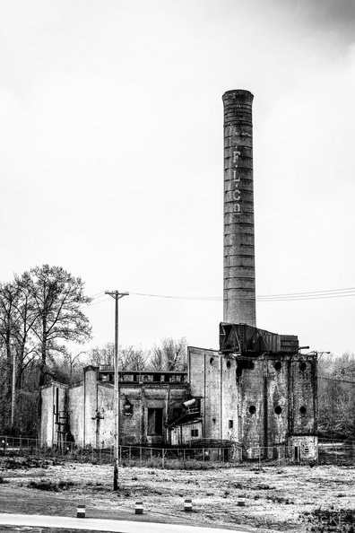 Packard Saw Mill (Twin Peaks)
-
 Packard Saw Mill (Twin Peaks)
Snoqualmie Falls Lumber Company mill, now abandoned, used for the filming of Twin Peaks -
 Packard Saw Mill (Twin Peaks)
Snoqualmie Falls Lumber Company mill, now abandoned, used for the filming of Twin Peaks -
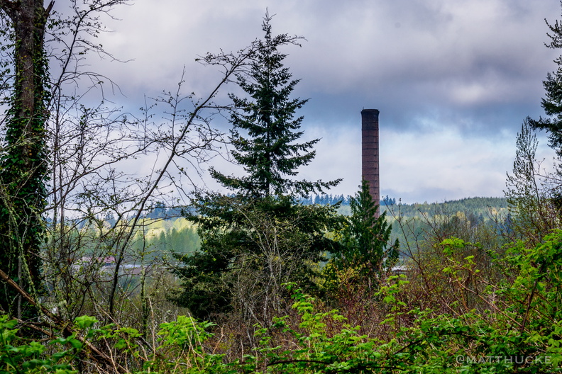 Packard Saw Mill (Twin Peaks)
Snoqualmie Falls Lumber Company mill, now abandoned, used for the filming of Twin Peaks -
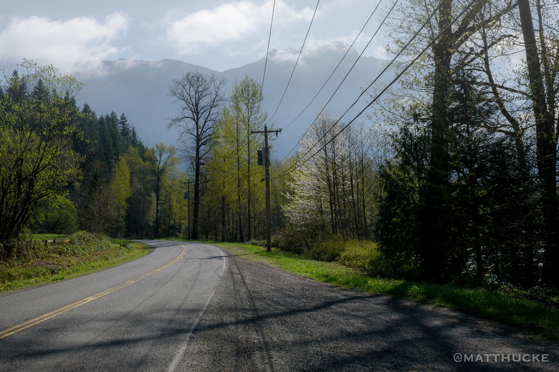 Welcome to Twin Peaks
Site of the "Welcome to Twin Peaks" sign from the opening credits of the TV series. Reining Road, Snoqualmie. -
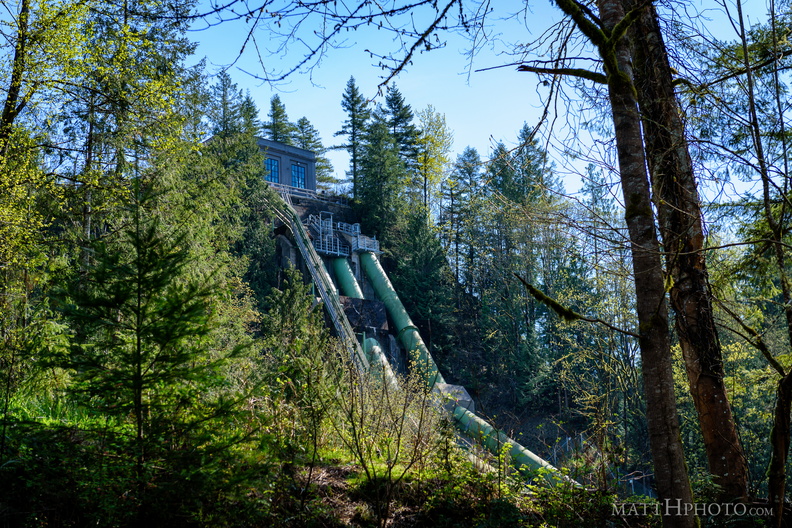 Snoqualmie Falls Hydroelectric Plant
-
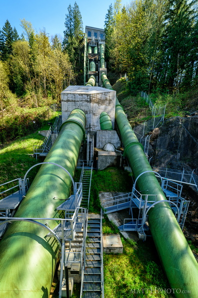 Big Pipes
Hydroelectric power station at Snoqualmie Falls -
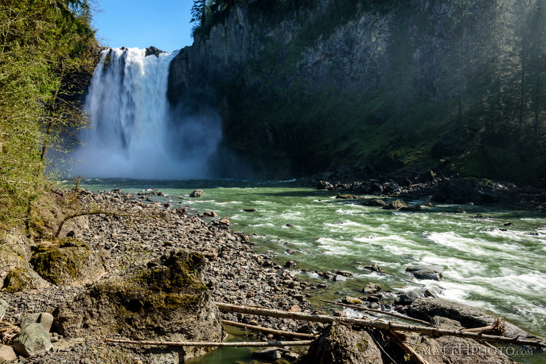 Lower Snoqualmie
Snoqualmie falls and Snoqualmie River, from below -
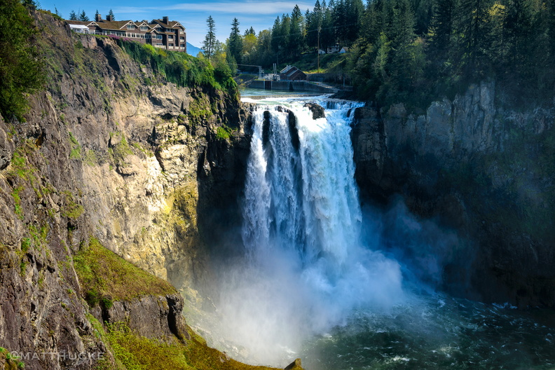 Snoqualmie Falls
-
 Before the Falls
Snoqualmie River, near Tanner, Washington, upstream from the famous waterfall. Fast-moving, with a great fresh smell. -
 From Jose Rizal Bridge
-
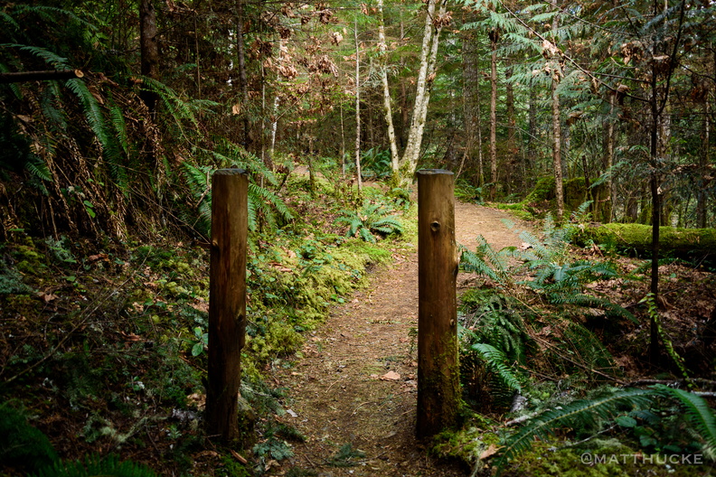 Two Posts Before the Falls
Posts at the start of the trail to Murhut Falls -
 Three sticks, three streams
On the Olympic Peninsula -
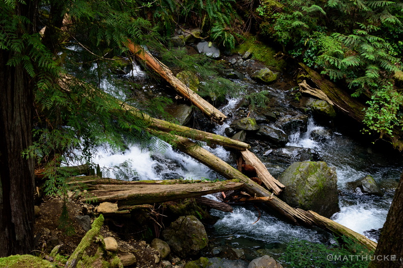 In pieces on the ground
On the Olympic Peninsula -
 Murhut Falls
-
 Murhut Falls, 130 foot drop
On the Olympic Peninsula -
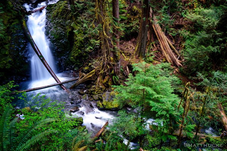 Murhut at the base
On the Olympic Peninsula -
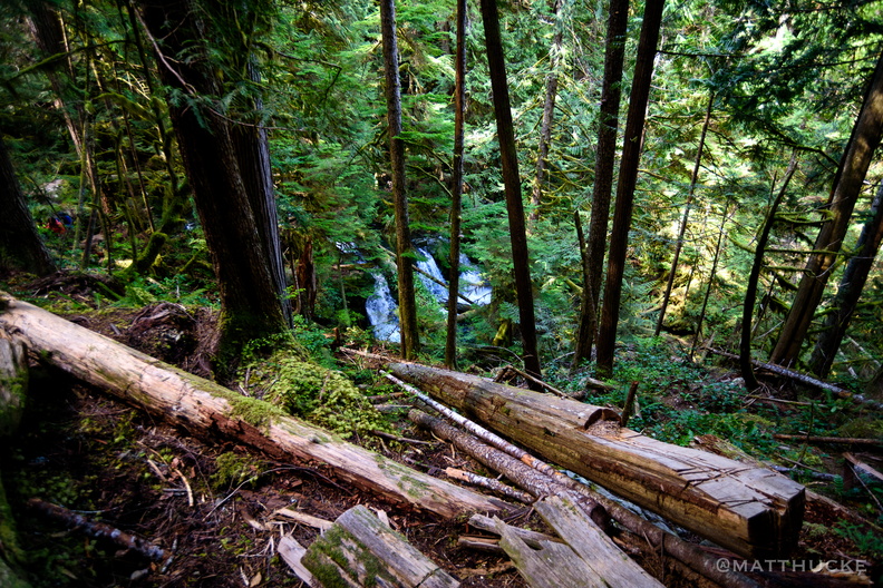 Earth, Wood, Water
On the Olympic Peninsula -
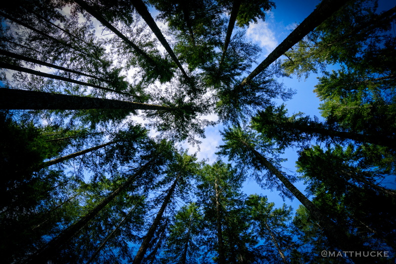 Douglas Fir Cathedral
Olympic Peninsula, Washington -
 Rocky Brook Falls
229 foot horsetail falls. -
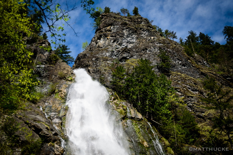 Rocky Brook Falls
229 foot horsetail falls. -
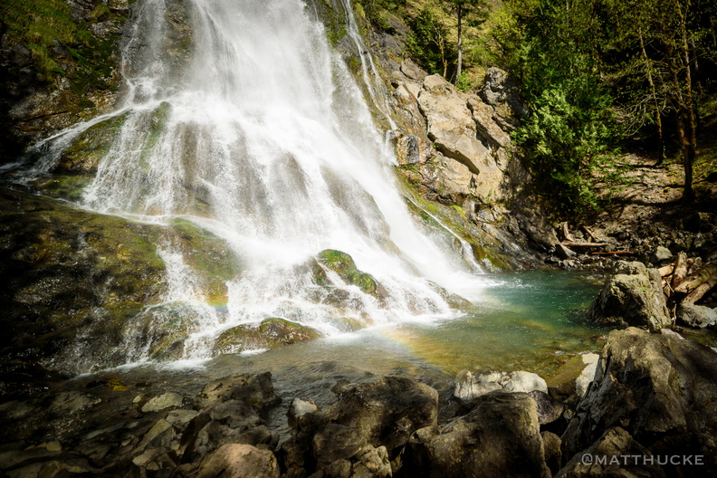 Rocky Brook Falls
229 foot horsetail falls. -
 Rocky Brook Falls
229 foot horsetail falls. -
 Mount Constance from the Dosewallips River
-
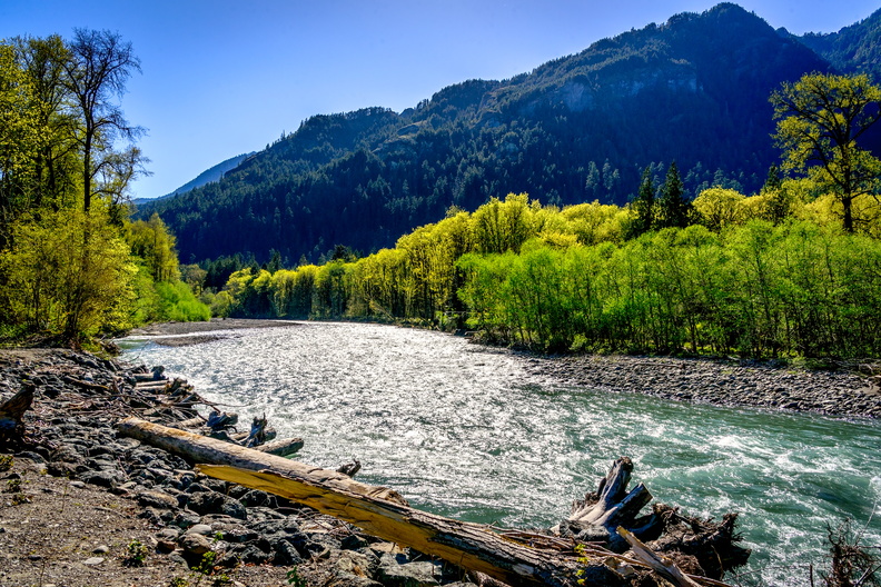 Elwha River
At the Madison Falls trialhead -
 Plunge Pool
Madison Creek Falls, near Port Angeles Washington, Olympic National Park -
 Plunge Pool
Madison Creek Falls, near Port Angeles Washington, Olympic National Park -
 Mount Baldy
Mount Baldy (4775 ft) and the Elwha River, at the Madison Creek Falls trailhead, near Port Angeles WA. (10x 18mm panorama) -
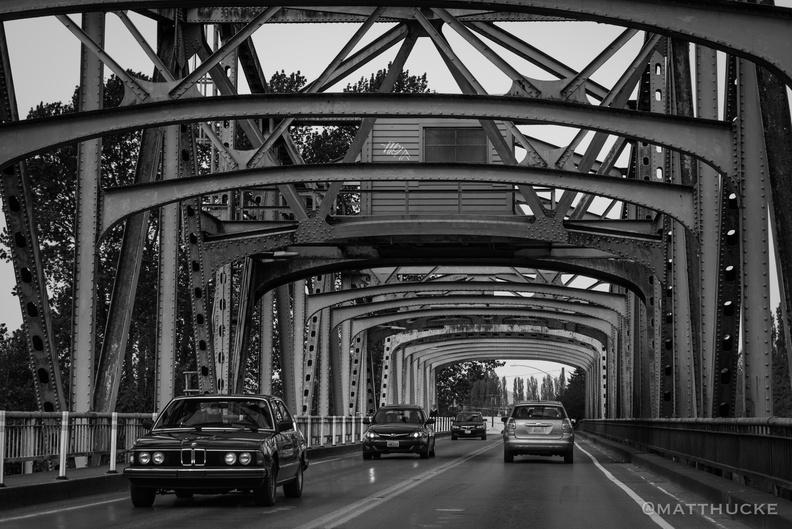 Iron Bridge
Skagit County WA -
 Washington Tulips
At Roozengaarde, Skagit County WA -
 Washington Tulips
At Roozengaarde, Skagit County WA -
 Washington Tulips
At Roozengaarde, Skagit County WA -
 Tulip Season
at Roozengaarde -
 Washington Tulips
At Roozengaarde, Skagit County WA -
 Washington Tulips
At Roozengaarde, Skagit County WA -
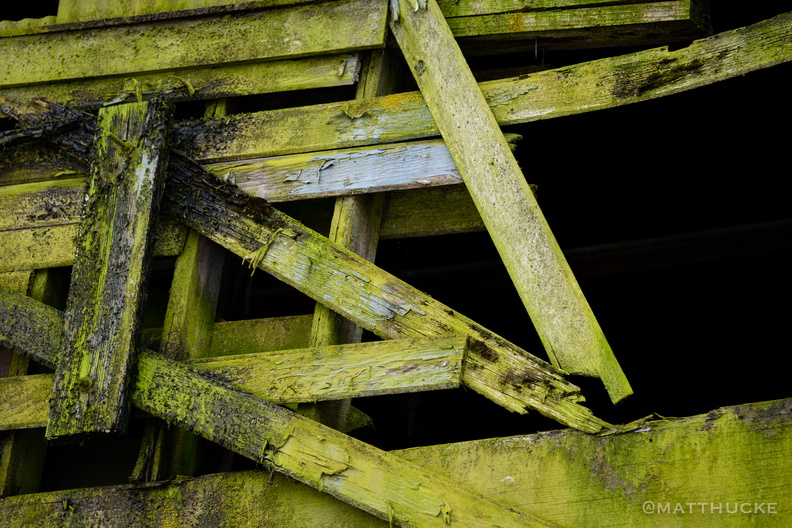 Green wood
Abandoned warehouse on the waterfront, La Conner WA -
 Up the ladder to the roof
Abandoned warehouse on the waterfront, La Conner WA -
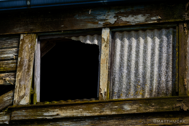 Something escaped
Abandoned warehouse on the waterfront, La Conner WA -
 We float, Georgie
-
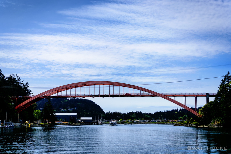 Rainbow Bridge
At La Conner, Washington -
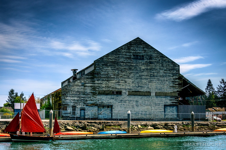 Boat before warehouse
Albers Brothers Warehouse (1908) in La Conner, Wa, now abandoned. -
 Towards open waters
-
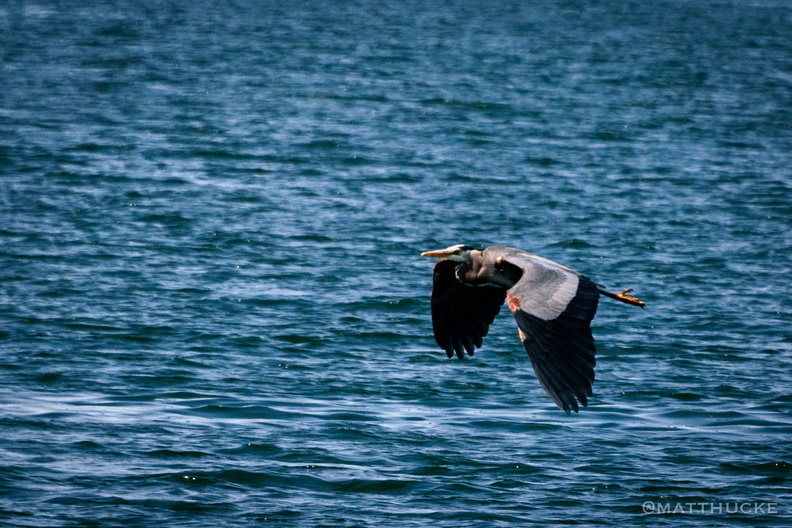 Blue Heron
Swinomish Channel, La Conner Washingto -
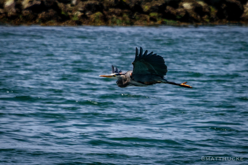 Blue Heron
Swinomish Channel, La Conner Washington -
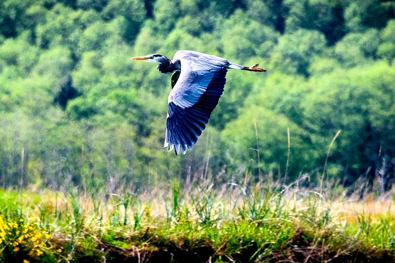 Am I Blue?
Blue Heron, La Conner WA -
 Refinery refuge
Anacortes refinery -
 Baker Above Us
Mount Baker from Padilla Bay -
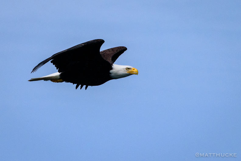 Flight
Near Anacortes, Washington