Home / Keyword washington state 103

-
 Whitman County Growers
Town of Steptoe, seen from Steptoe Butte. -
 Edge of America
Looking north from the Olympic Peninsula, across the Strait of Juan de Fuca, towards Vancouver Island. -
 Beaver Lake
Beaver Lake, Clallam County, Olympic Peninsula, Washington -
 Paradise
Waterfall Trail from Paradise, toward Myrtle Falls -
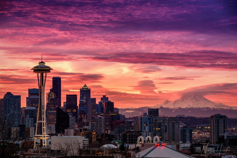 January Embers
-
 Cape Flattery
Cape Flattery, Washington, Northwesternmost point in the continental U.S. -
 Westside Barber Shop
-
 Sea Caves
Cape Flattery, Washington, Northwesternmost point in the continental U.S. -
 Cape Flattery
Cape Flattery, Washington, Northwesternmost point in the continental U.S. -
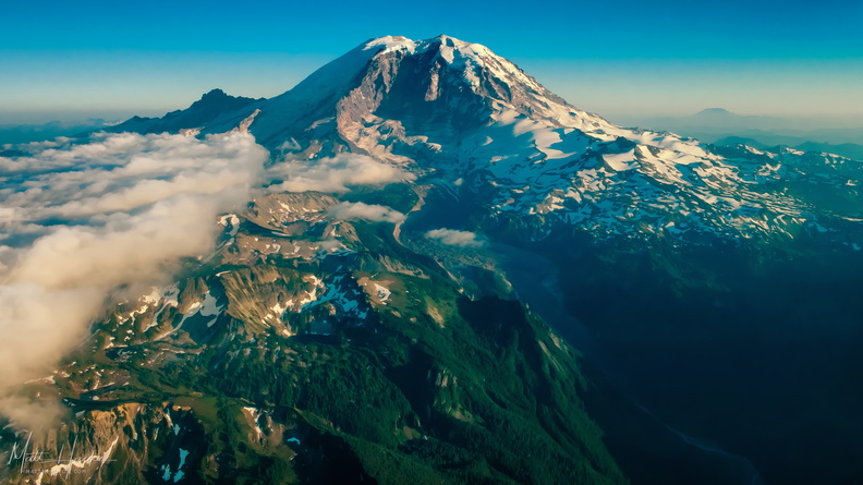 extreme carbon
Mount Rainier, from the north. At left is Little Tahoma Peak, a remnant of an earlier summit, before volcanic activity formed the present peak about 500,000 years ago. On the horizon at right is Mount St. Helens. In the gap between Willis Wall (center-left) and Ptarmigan Ridge (center-right) is Carbon Glacier, the longest, thickest, and most voluminous glacier in the United States outside Alaska. As the glacier melts, it forms the Carbon River, seen at lower right, which eventually drains into Puget Sound. -
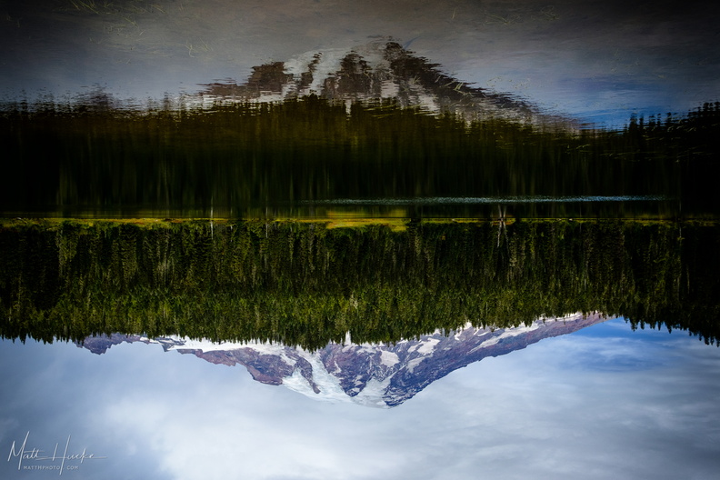 Inversion
-
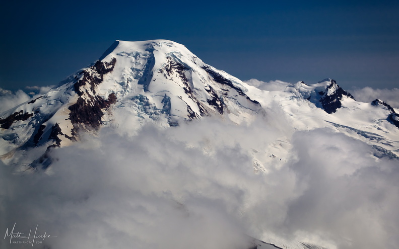 put out my hand and touched the face of god
Mount Baker, with Black Buttes on the right. -
 Gorge
Gorge
-
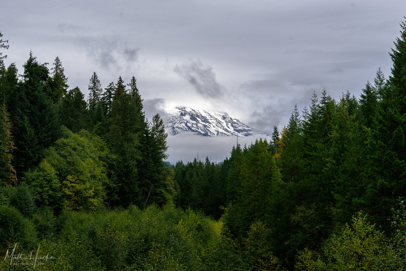 A little bit of Mount Rainier, from not very far away
-
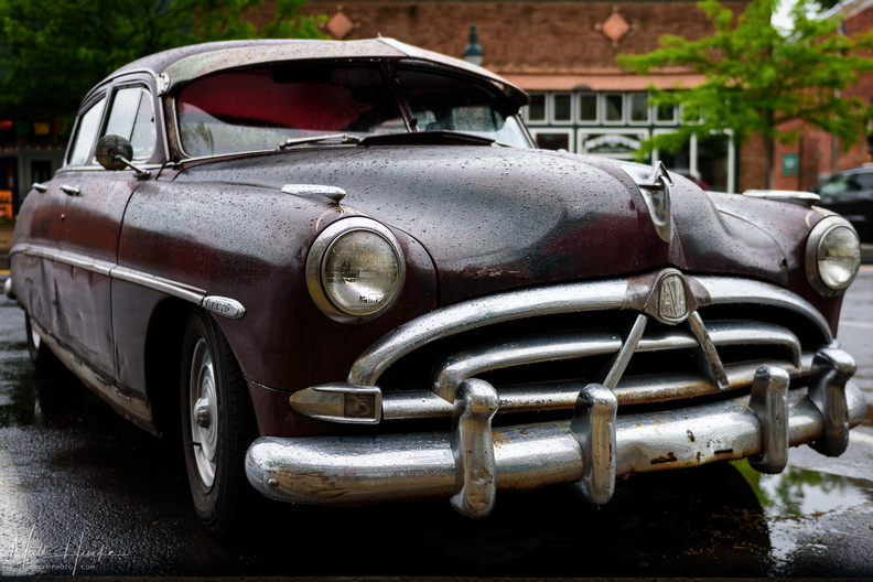 It's a Hudson, and it's wet.
Hudson Wasp (1952-1954) -
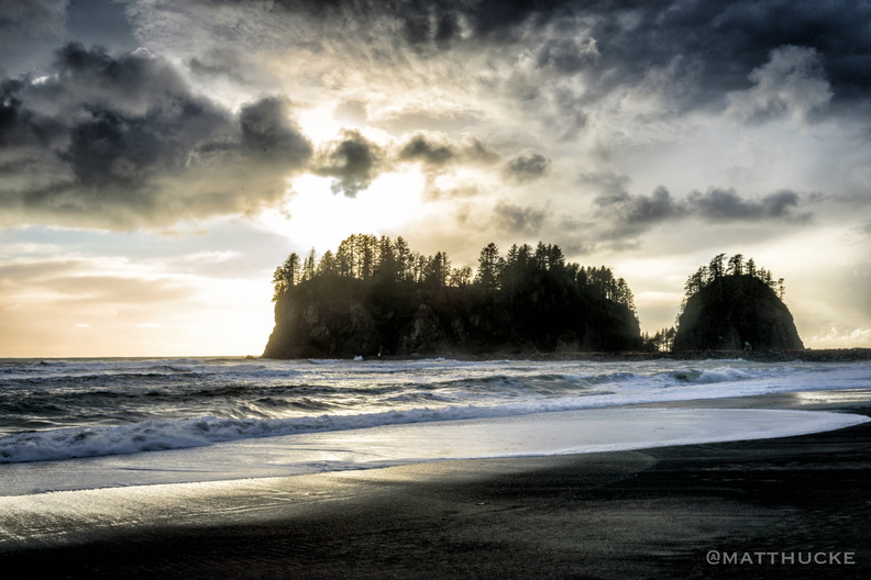 James Island, La Push WA
-
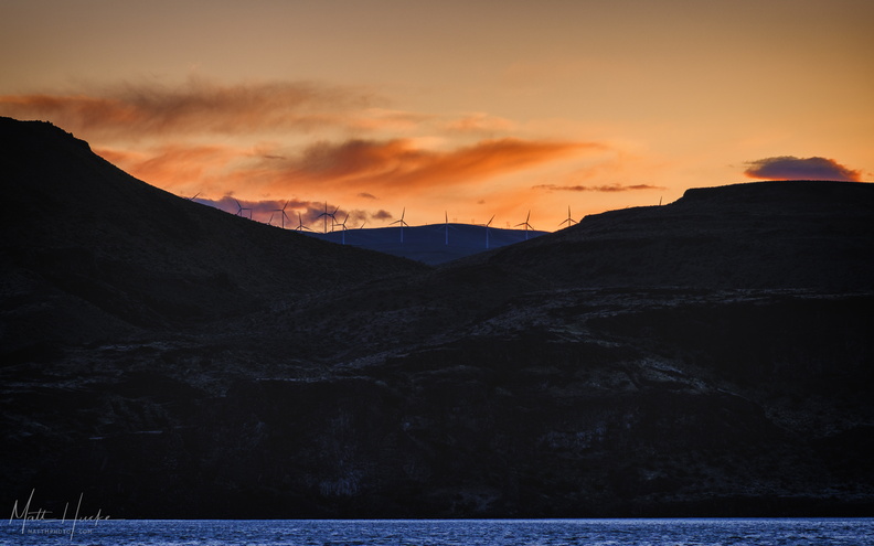 Wild Horses on the Columbia
Wild Horse wind farm turbines -
 First Beach, La Push WA
-
 First Beach, La Push WA
-
 Rocky Brook Falls
229 foot horsetail falls. -
 Little James Island
-
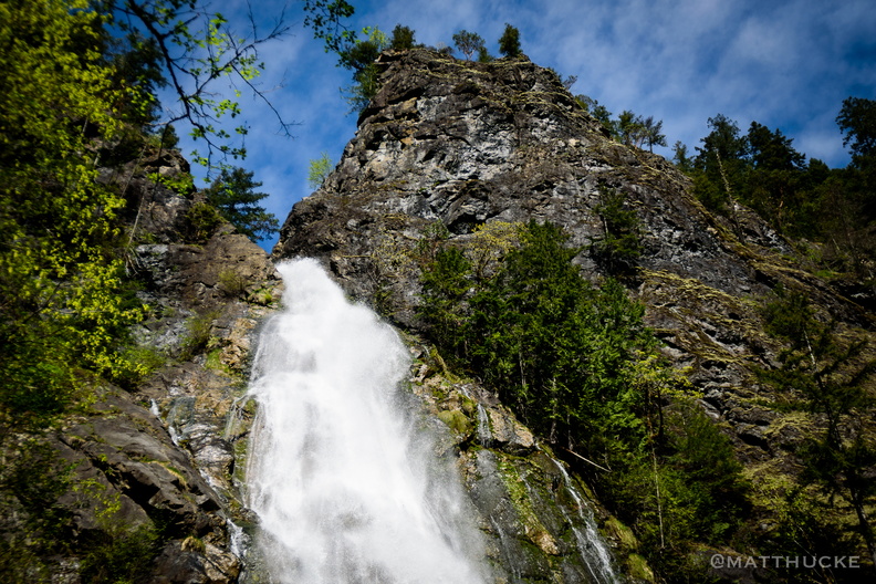 Rocky Brook Falls
229 foot horsetail falls. -
 Rocky Brook Falls
229 foot horsetail falls. -
 Sunset on James Island
-
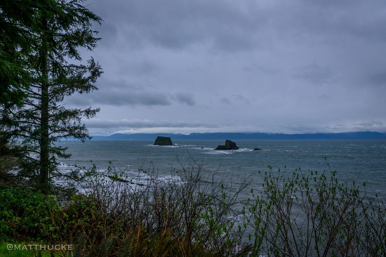 Last Rocks before Canada
-
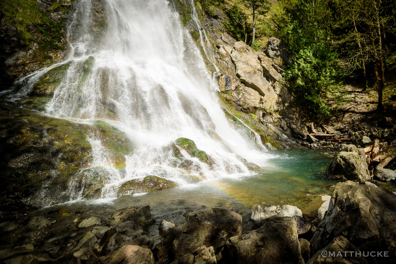 Rocky Brook Falls
229 foot horsetail falls. -
 Tai Tung Chop Suey
-
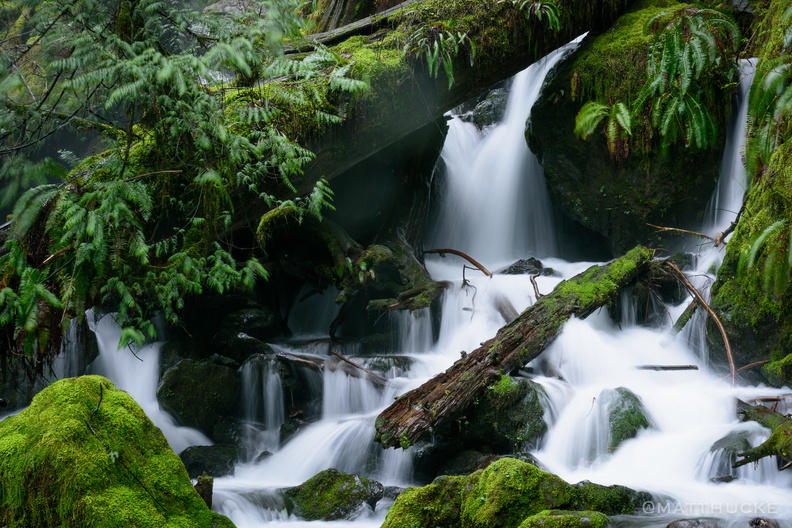 Soft water, cold water, falling to the earth
Close-up of lower level of Merriman Falls, Olympic Peninsula. -
 Windows on the Palouse
-
 Merrriman Falls
Near Lake Quinault Lodge -
 Forks Totem Pole
Totem Pole in Forks, WA. -
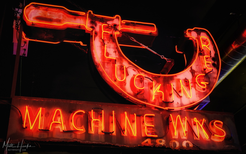 Fluckinger Machine Works
Previously on the outside of a building at 4800 Airport Way S, now restored and located indoors at Seattle Tavern & Pool Hall, 5811 AIrport Way S. -
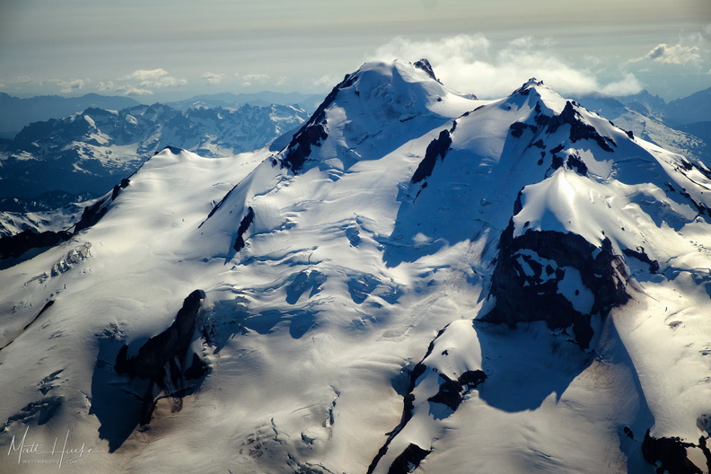 top of glacier peak
-
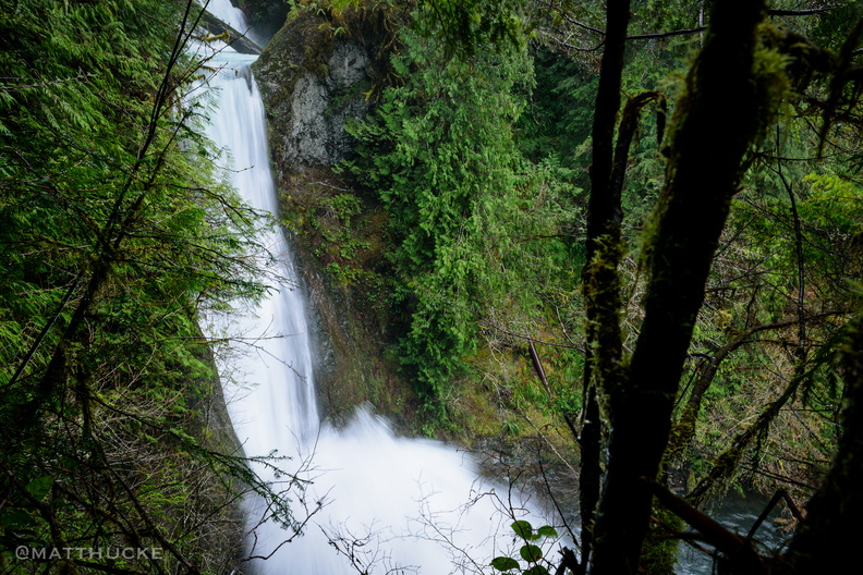 Spoon Creek Falls
Olympic National Forest, Washingto -
 Forks Totem Pole
Totem Pole in Forks, WA. -
 Alki Spud
Alki Spud Fish & Chips, West Seattle. Brothers Jack and Frank Alger started selling fish and chips (ten cents for two pieces of ling cod and fries in a cardboard boat) out of their Alki Avenue garage in 1935, cutting a takeout window in the side of the building. During WWII, rationing made oil for frying difficult to obtain, and Spud nearly had to close, but neighbors banded together to donate their oil ration tickets, saving the fish and chip stand. After the war, Spud replaced the old garage with a modern building of a nautical design, including portholes. By 1961 they had replaced this with the current Googie-inspired building featuring an upswept roof. Spud has since expanded to other neighborhoods and cities around Seattle, but the Alki location is the original. -
 Columbia rocks
-
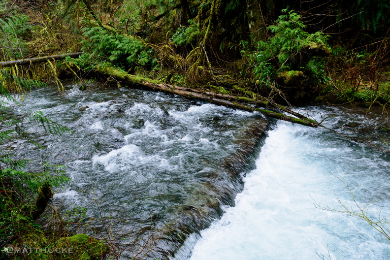 Spoon Creek Falls
Olympic National Forest, Washingto -
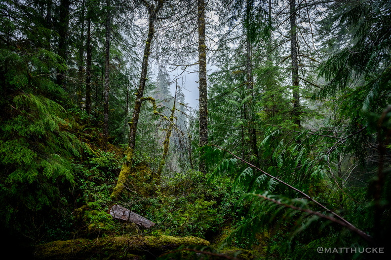 Spoon Creek Falls Trail
Olympic National Forest, Washingto -
 Snoqualmie Falls on a July Evening
-
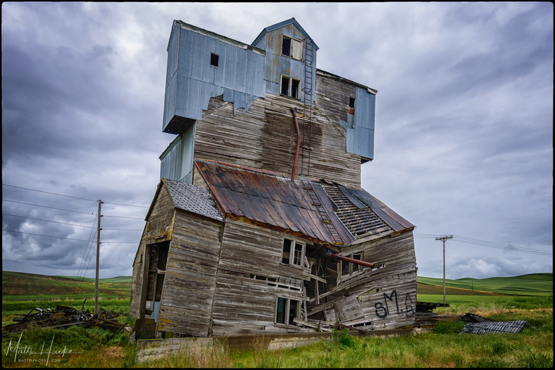 Decline
Ruin of a granary on the Palouse (beside highway 195, south of Pullman) -
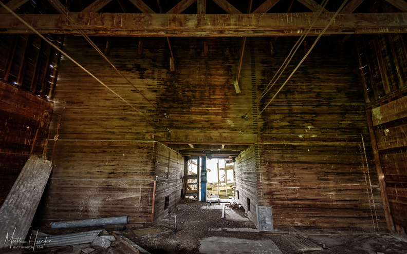 Decline: Within
Inside the abandoned granary (see previous photo) -
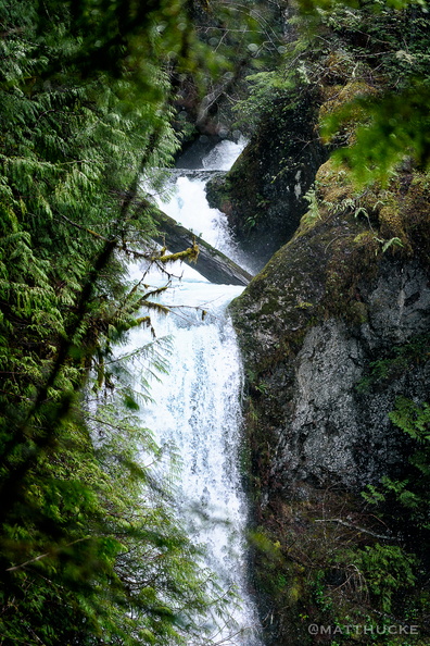 Spoon Creek Falls
Olympic National Forest, Washington -
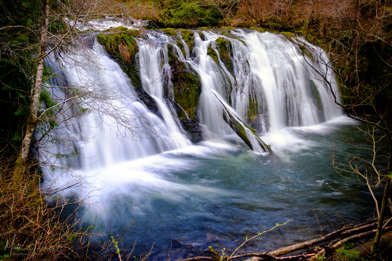 Beaver Falls
South of Beaver Lake on the Olympic Peninsula. There is no sign, look for a pullout on the east side of the road. -
 Bostwick Building
A historical marker attached to the building reads: "IN HONOR OF ROSSELL G. O'BRIEN who in the Bostwick Building, Tacoma, Washington, on October 18, 1893, during regular session of the Washington Commandery of the Military Order of the Loyal Legion of the U.S.A., did originate the custom of standing during the rendition of the Star Spangled Banner, the national anthem of the United States of America." -
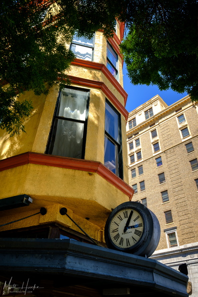
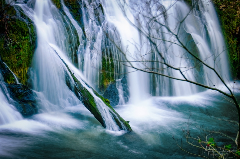 Beaver Falls
South of Beaver Lake on the Olympic Peninsula. There is no sign, look for a pullout on the east side of the road. -
 Nisqually-Paradise Road
-
 Western Pacific Chemical Company, 1940
1436 Elliott Ave W, Queen Anne, Seattle. Built in 1940 for the Western Pacific Chemical Company, this two-story concrete building was designed in the Art Deco and Art Moderne styles by John Ivar Mattson. Later, it housed several chemical manufacturers, and in the 1970s, Superior Embroidery and McNamara Signs. -
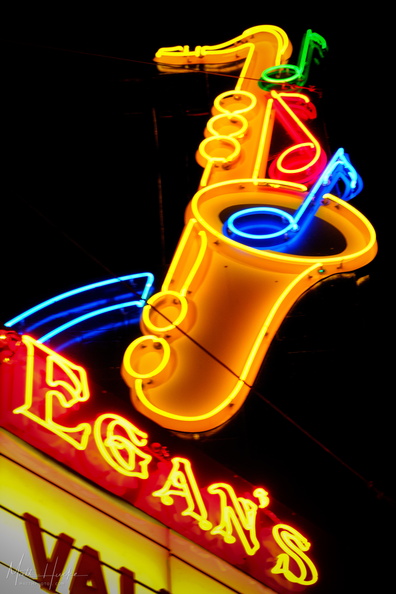 Egan's