
-
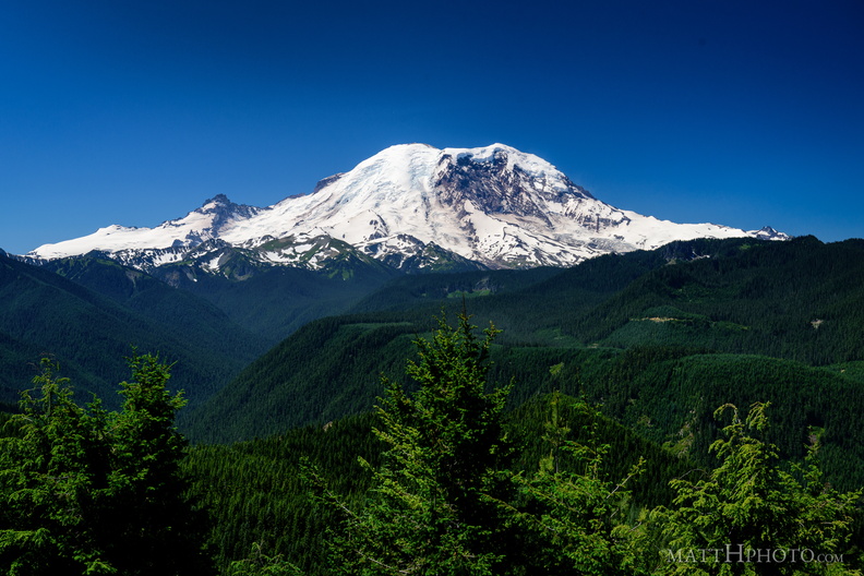 The North Face
From Sun Top Fire Lookout -
 Sun Top Fire Lookout
-
 Sun Top Fire Lookout
-
 Sun Top Fire Lookout
Built 1934, elevation 1 mile (5280 feet). -
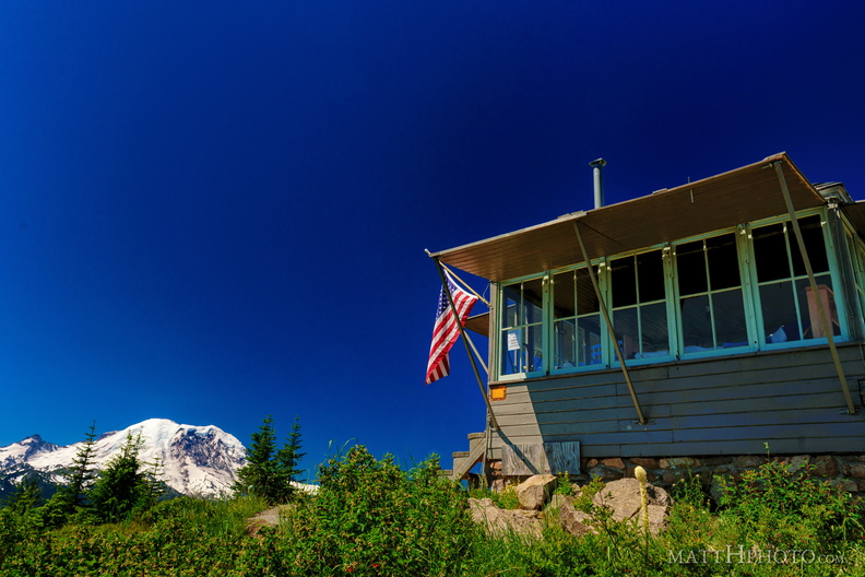 Sun Top Fire Lookout
-
 Sun Top Fire Lookout
-
 Sun Top Fire Lookout
-
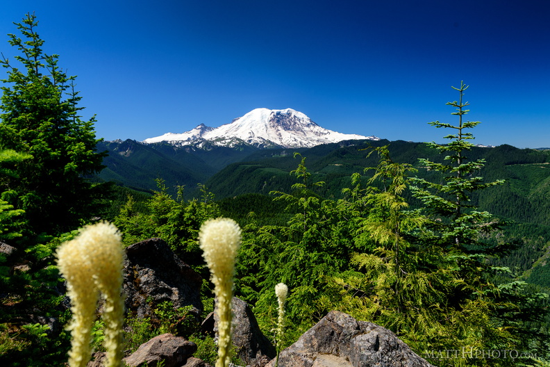 Sun Top Fire Lookout
-
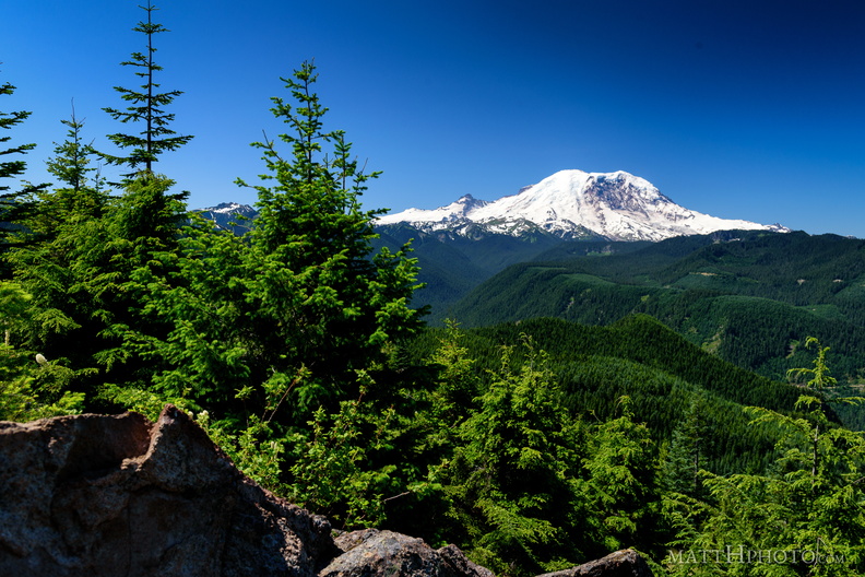 Sun Top Fire Lookout
-
 Gom Jabbar
Created and served by Rumba, a rum-focused bar in Seattle. Zebrawood finished Cachaca, Lairds Apple Brandy, Lime, Melange and bitters, topped with mint leaves and a smouldering cinnamon stick. -
 1926
1926
Figure on the Camlin Hotel -
 The Camlin
Camlin Hotel, Seattle, 1926. -
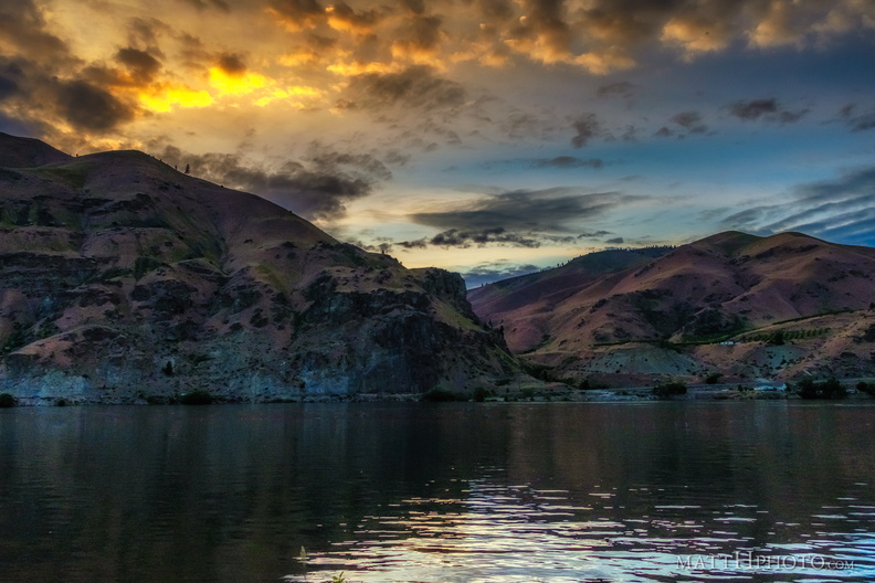 Night Falls on Lincoln Rock
-
 Rocky Reach Dam
Columbia River, seen from Lincoln Rock State Park -
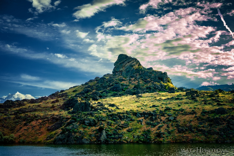 Turtle Rock Island
Island in Lake Entiat, created in 1962 when the Rock Reach Dam was constructed. -
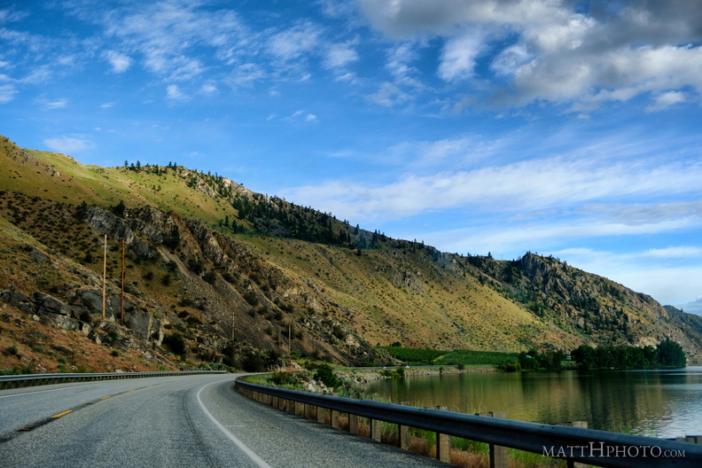 Lake Entiat
-
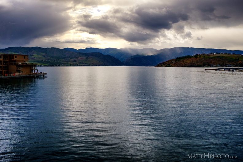 Lake Chelan
-
 Butte and St. Andrew
St. Andrews Episcopal Church, Chelan, and Chelan Butte -
 Missoula Flood Deposit
-
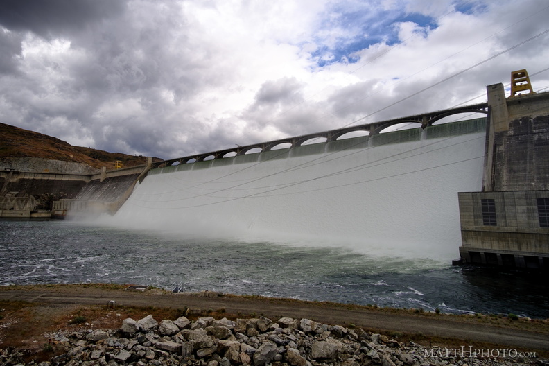 Grand Coulee Dam
-
 Grand Coulee Dam
-
 Grand Coulee Dam
-
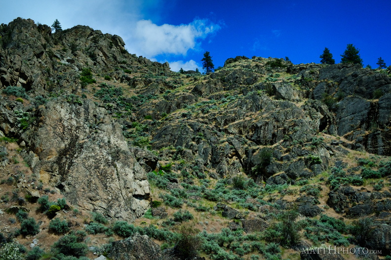 Looking up
-
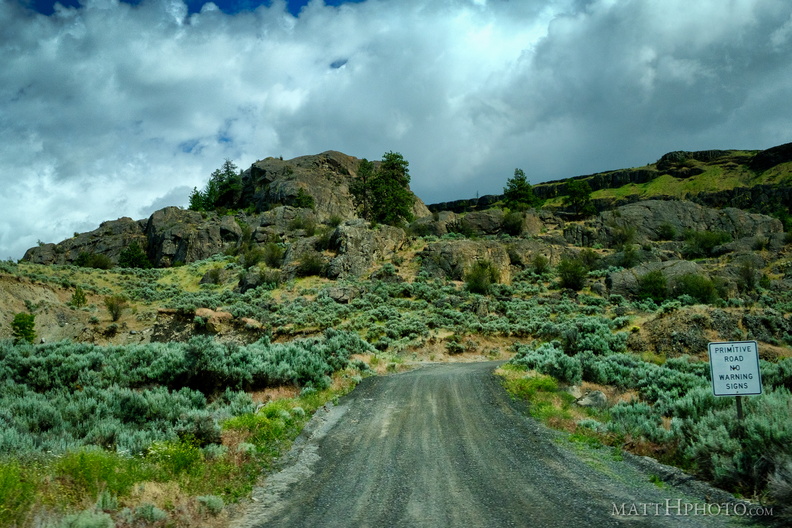 No Warning Signs
-
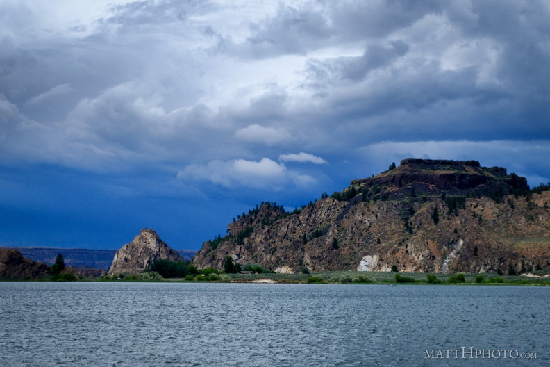 Steamboat Rock State Park
-
 Steamboat Rock
-
 Grand Coulee
-
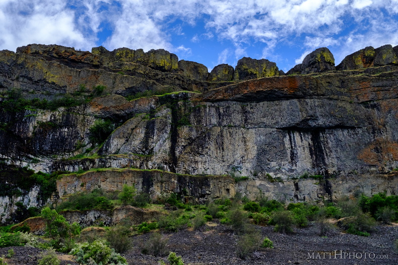 Teeth of the Coulee
Grand Coulee, alongside Banks Lake -
 Grand Coulee
-
 Banks Lake
-
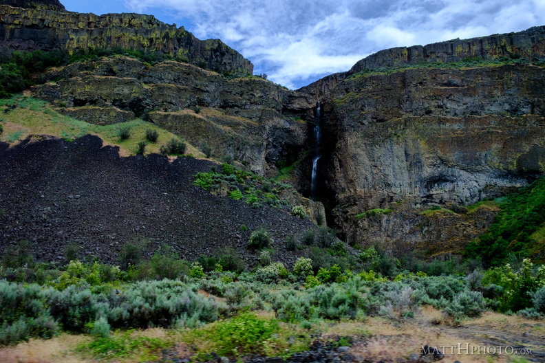 Grand Coulee
-
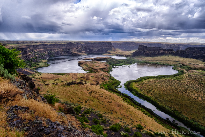 Dry Falls in rain
Dry Falls, central Washington, the largest waterfall on earth during the prehistoric Missoula Floods. -
 Dry Falls (Panorama)
Dry Falls, central Washington, the largest waterfall on earth during the prehistoric Missoula Floods. Six-shot pano. -
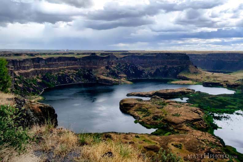 Dry Falls Lake
-
 Calling the Healing Waters (Soap Lake)
Monumental sundial sculpture by David Govedere and Keith Powell, 2009 -
 Calling the Healing Waters (Soap Lake)
Monumental sundial sculpture by David Govedere and Keith Powell, 2009 -
 Soap Lake
-
 Soap Lake
-
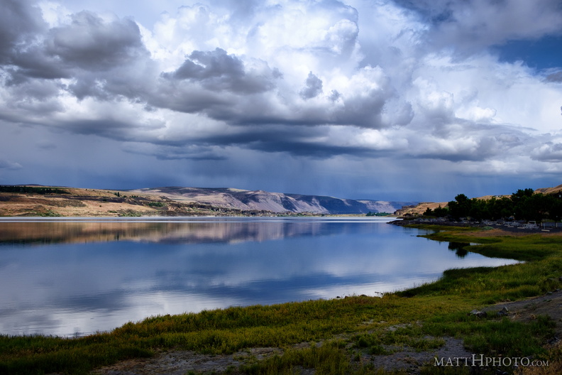 Soap Lake
A remnant of the prehistoric Missoula Floods in Central Washington, this lake has layers of water that do not intermix and a high mineral content. The water was thought to have curative powers and many spas were erected nearby in the 19th and 20th centuries. -
 Pine
Pine
Male pine cone, occurring on the same tree as the large woody female cones. -
 Turtle Rock Island
Turtle Rock Island near Lincoln Rock State Park. Originally a simple rocky hill on the south bank of the Columbia River, US Highway 2 ran through it. The construction of the Rocky Reach Dam in 1960 caused the formation of Lake Entiat around this hill, cutting it off from the rest of the south bank, submerging the old US Highway 2, and creating Turtle Rock Island. It is now a protected wildlife area accessible only by boat. -
 Turtle Rock Island
Lake Entiat, WA -
 Lincoln Rock and Swakane Canyon
Lincoln Rock, at the southeast end of Swakane Canyon, Wenatchee WA -
 The Shunned House
Near Taylor Shellfish Farms, Chuckanut Drive, Bow WA -
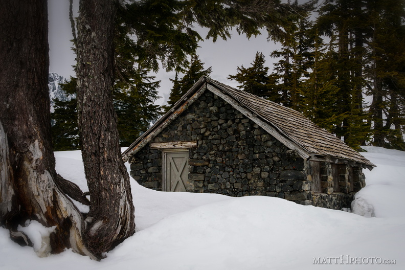 Solitude
Shed near Heather Meadows, Mount Baker -
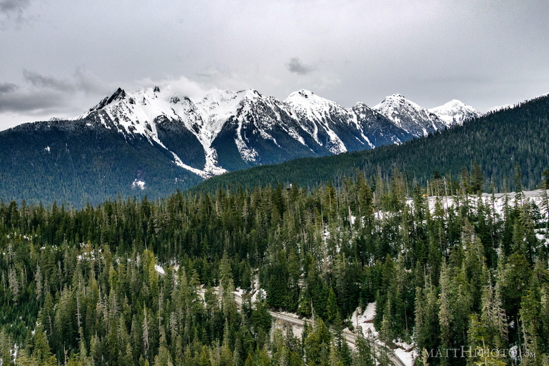 Nooksack Ridge
Nooksack Ridge, near Mount Baker. Part of the ridge, at left, is Mount Sefrit at 7191 feet. -
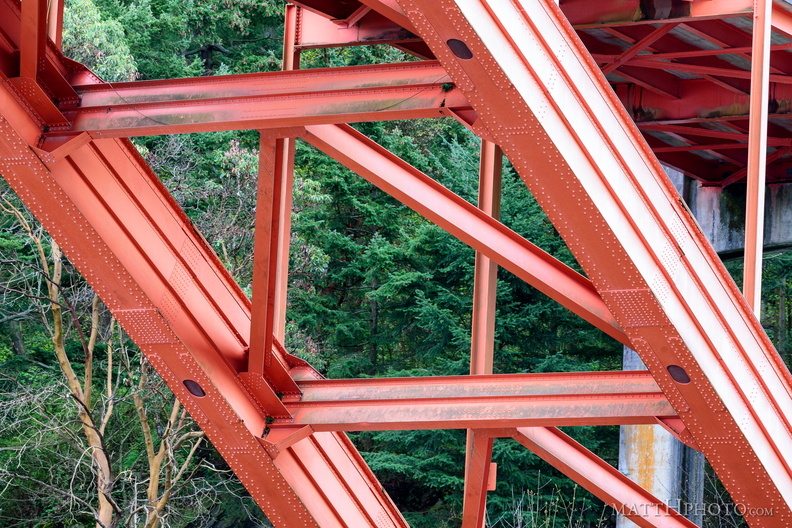 Under the Rainbow
Rainbow Bridge, La Conner WA -
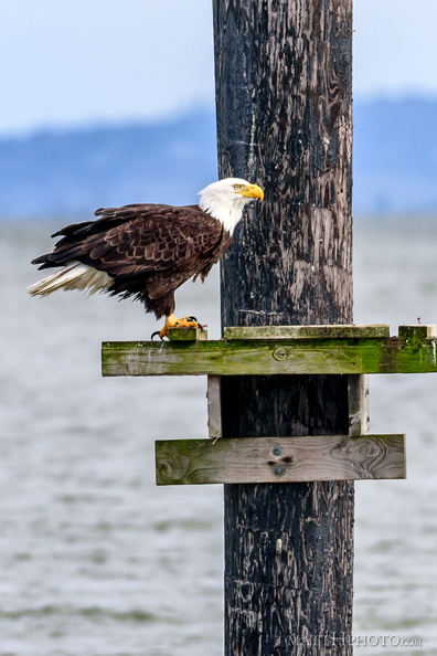 Fish eater
-
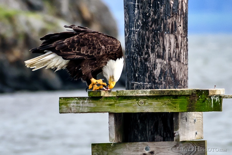 Fish eater
-
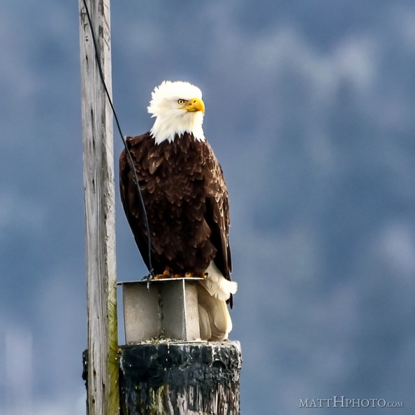 Watching and listening