
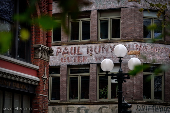
 Paul Bunyon Outer Wear
 Aqua Tiki
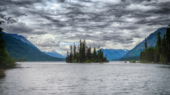 Emerald Island
 Lyman Cornelius Smith
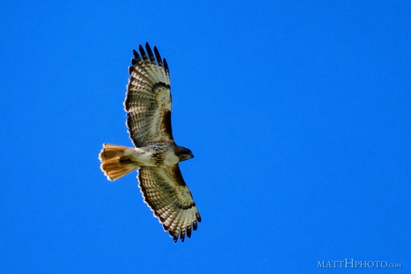 Above us, Osprey
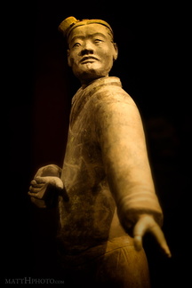 Archer
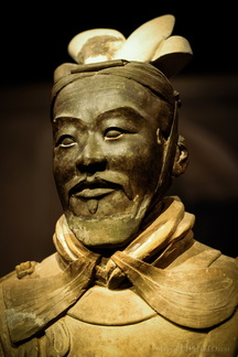 General from another time
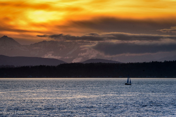 Golden Moment
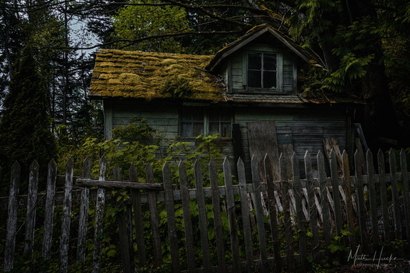 The Shunned House
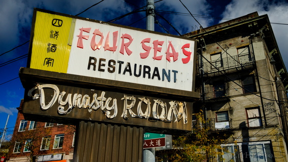 Four Seas Restaurant (1935-2017)
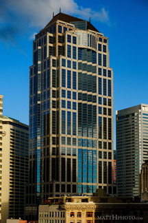 City Centre
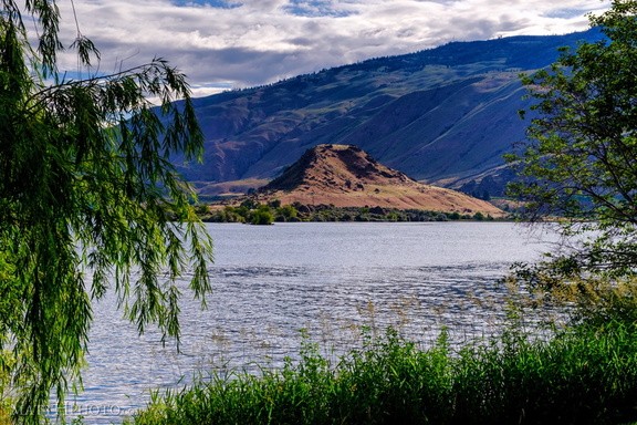 Turtle Rock Island
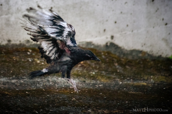 Learning to Crow
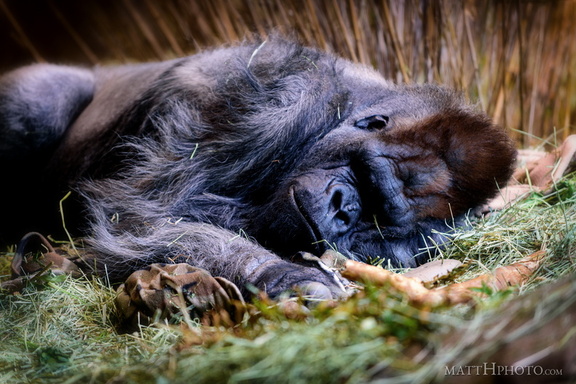 Gorilla nap
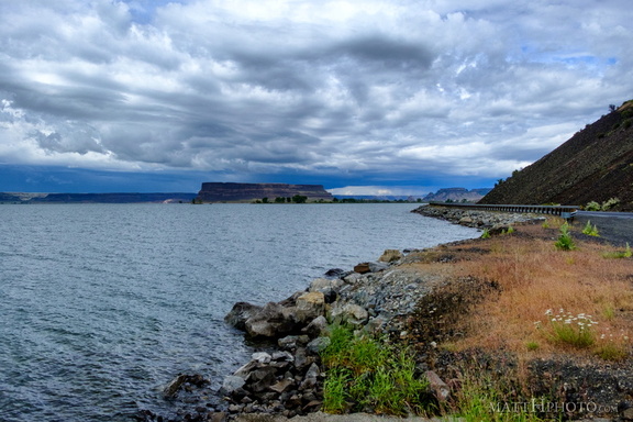 Banks Lake
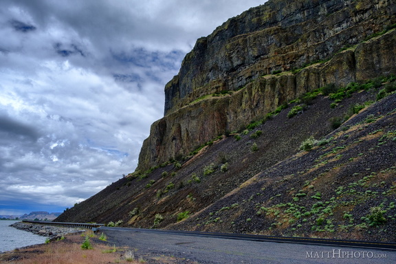 Grand Coulee
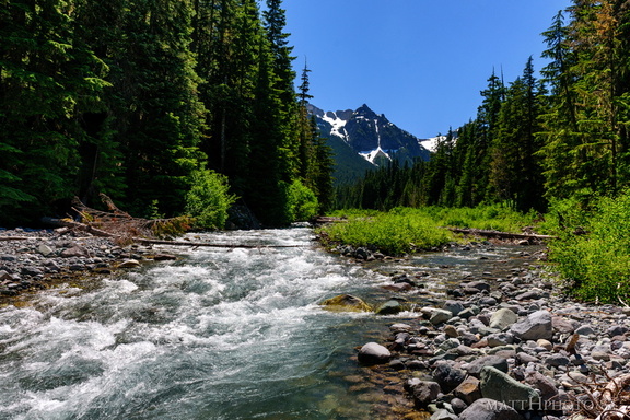 Fryingpan Creek to Banshee Peak
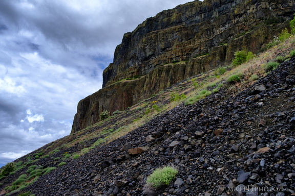 Grand Coulee
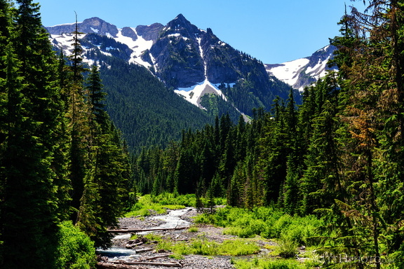 Fryingpan Creek to Banshee Peak
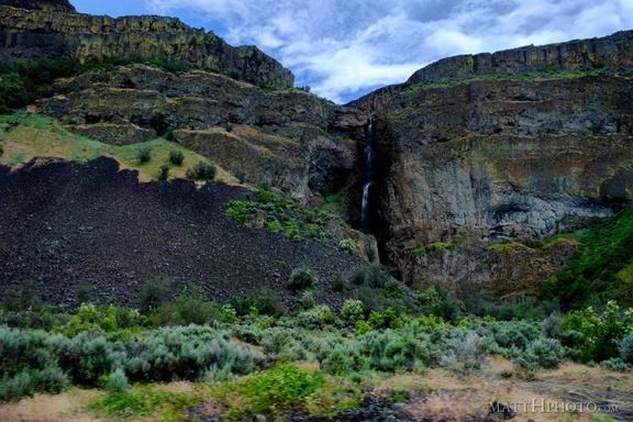 Grand Coulee
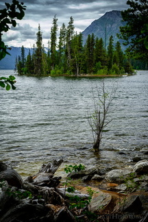 Emerald Island in Lake Wenatchee
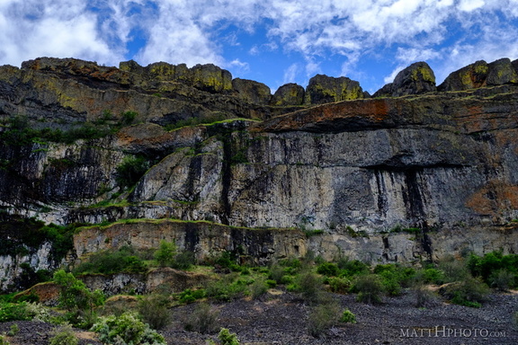 Teeth of the Coulee
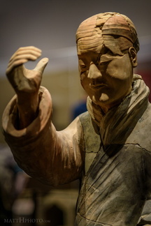 Musician for the Afterlife
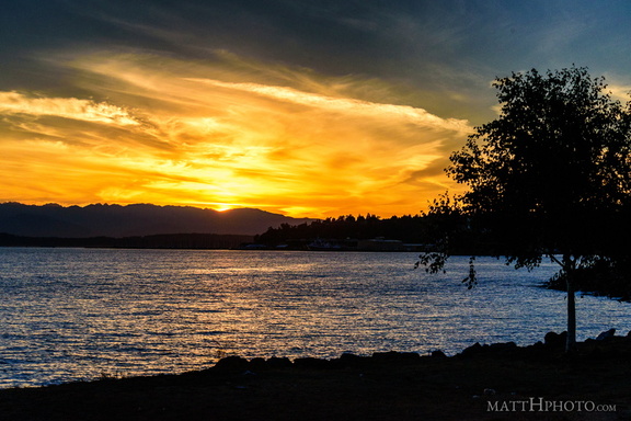 Puget's Gold
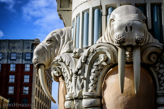 Walrus Corner
 Louise Lake
 Zombie (Don the Beachcomber)
 SAM'S Under Skid Row
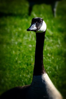 The Gander
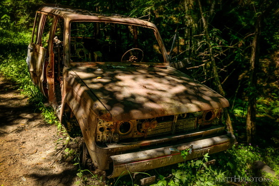 Going Nowhere Solo
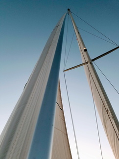 Forestay
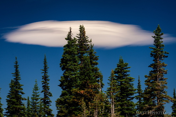 Lenticular
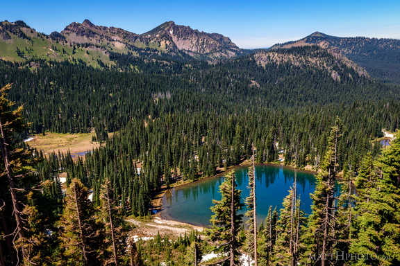 Sunrise Lake and Palisades Peak
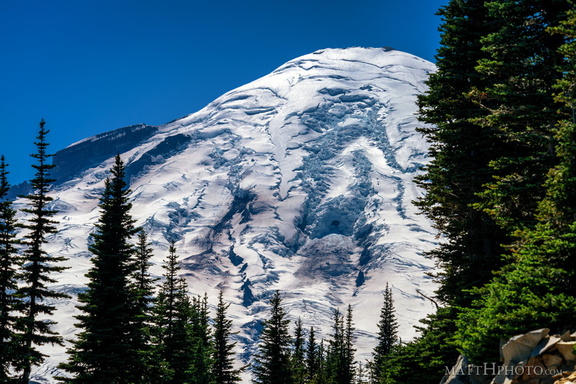 Rainier from Sunrise Point
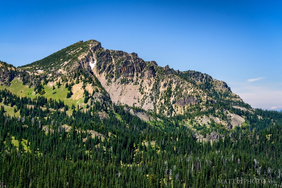 Palisades Peak
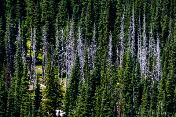 Snags
Snags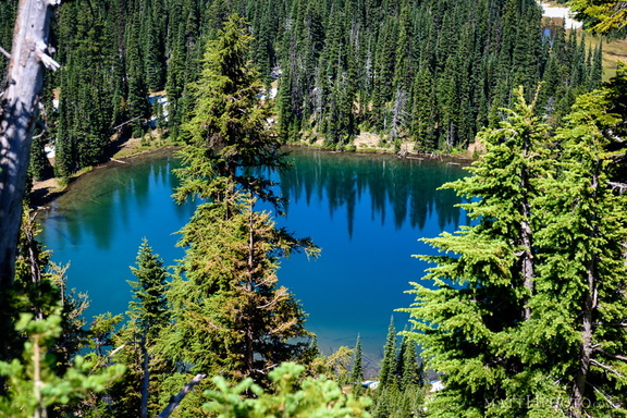 Sunrise Lake
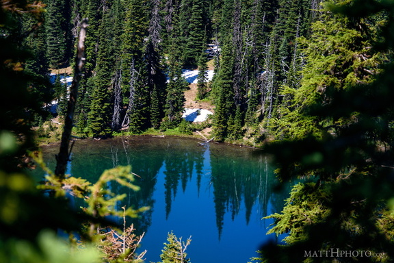 Sunrise Lake
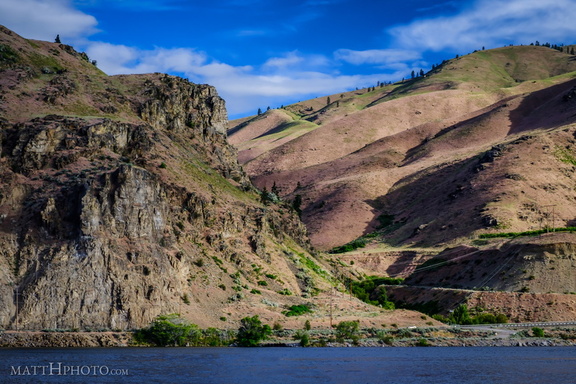 Lincoln Rock and Swakane Canyon
 Ten Ten
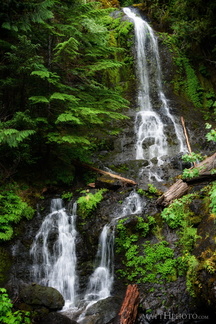 Falls Creek Falls
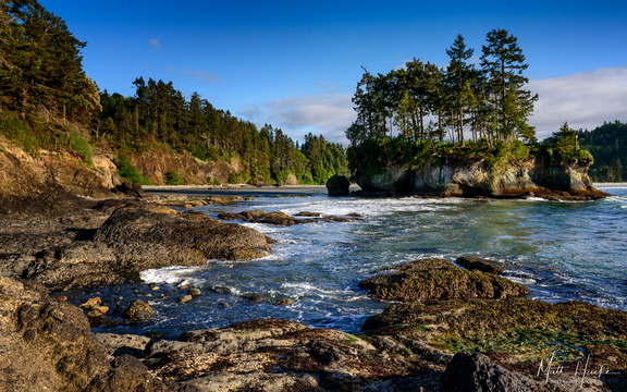 Wet Rocks
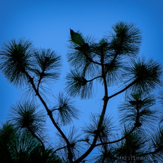 Top of the Pine
 Alweg Monorail
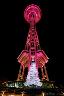 Christmaspaceneedle
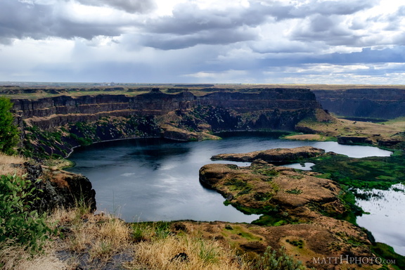 Dry Falls Lake
 Courage.
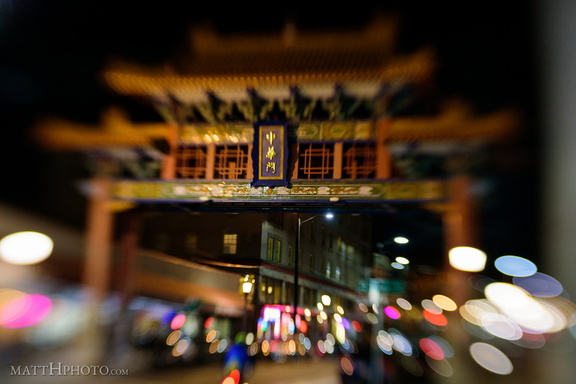 Chinatown
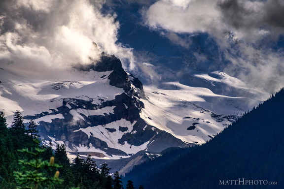 Little Tahoma
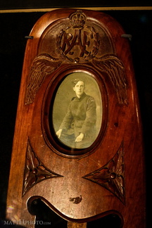 RAF Frame