
 Carrie Fisher Memorial
 Carrie Fisher Memorial
 Carrie Fisher Memorial
 Carrie Fisher Memorial
 Carrie Fisher Memorial
 Carrie Fisher Memorial
 Carrie Fisher Memorial
 Carrie Fisher Memorial
 Carrie Fisher Memorial
 Carrie Fisher Memorial
 Carrie Fisher Memorial
 Carrie Fisher Memorial
 Carrie Fisher Memorial
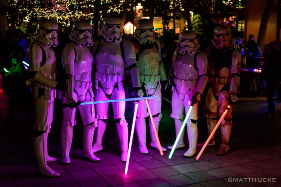 Carrie Fisher Memorial
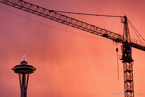 Industry takes a holiday
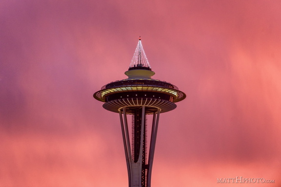 Seattle pinks up for the holidays
 The "tree" is lit.
 Veterans' Day Sunrise
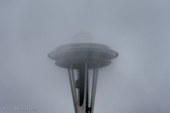 Low Visibility at 520 Feet
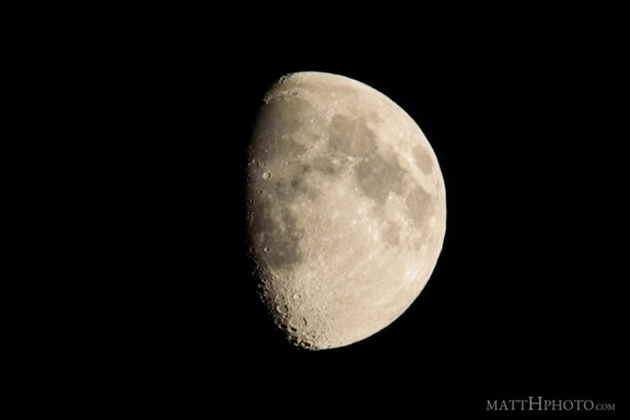 luna
luna Lower Snoqualmie
 Snoqualmie Falls Hydroelectric Plant
 Rainier resident
 Eagle and Tumtum
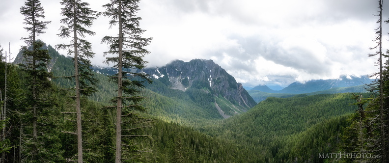 Inspiration Point
 Narada Falls
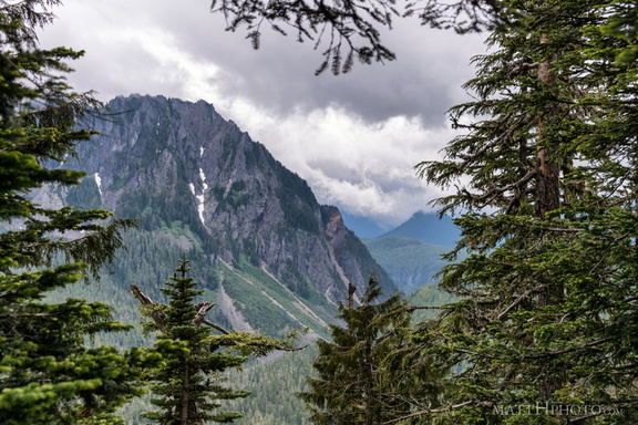 Eagle, between the trees
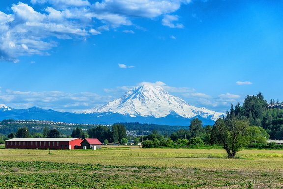 Train Tahoma
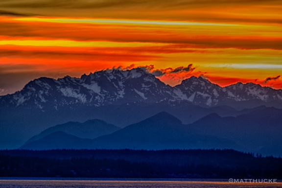 Mount Constance Sunset
 New Dungeness Lighthouse
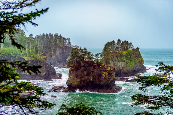 Corner of the Country
 Aurora Bridge
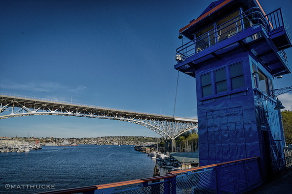 Fremont Bridge, Aurora Bridge
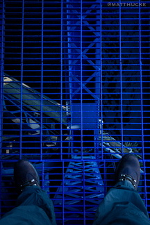 Thin steel grid between me and death
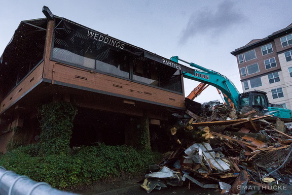 No more weddings. No more parties.
 Grey on Grey
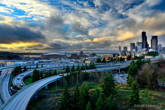 Shining CIty on a Hill
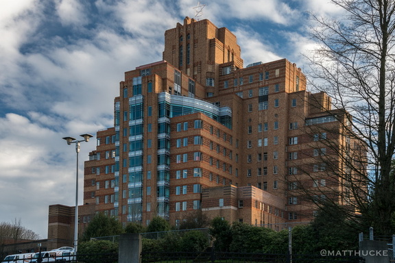 Hospital with a View
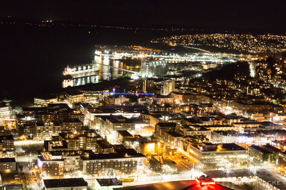 I live in the glow
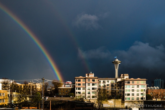 Sudden spectrum
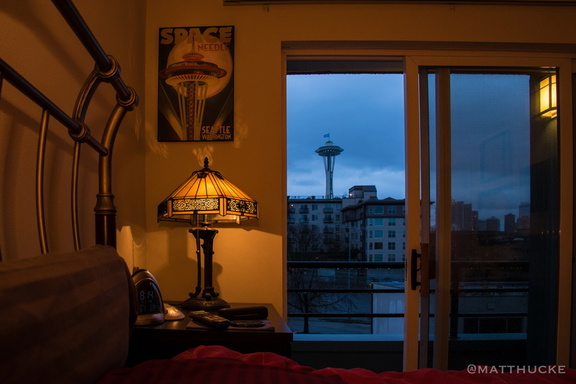 Rainy Morning with Bedroom and Space Needles.
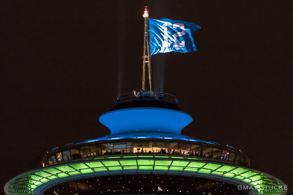 For the Twelfth
 Seahawks Needle
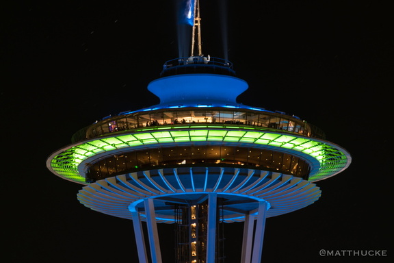 Sportsneedle!
 Emits Showers of Sparks
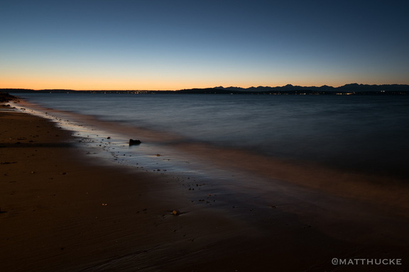 Last light on the beach
 Under the Boardwalk, Down by the Sea
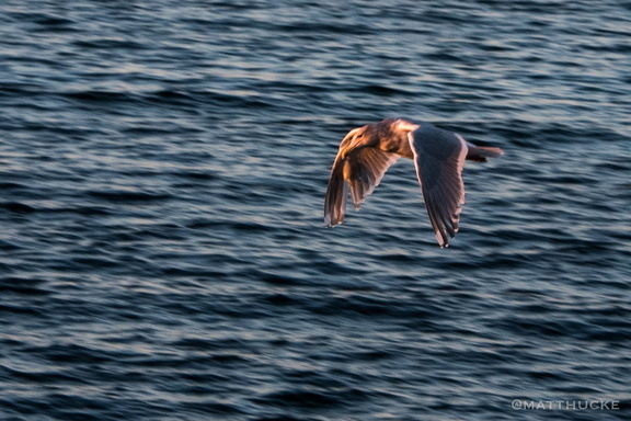 West Seattle Seagull
 Port of Seattle
 Seattle Skyscrapers