
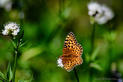
 A spot of colour
 Above Silver Falls
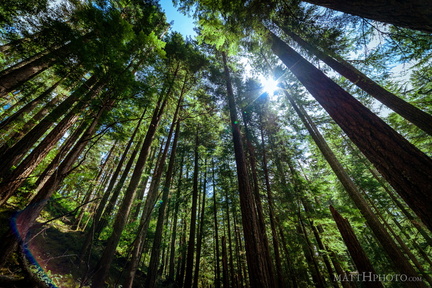 All Trees Go to Heaven
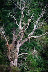 Among the living
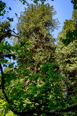 Ancient Cedar
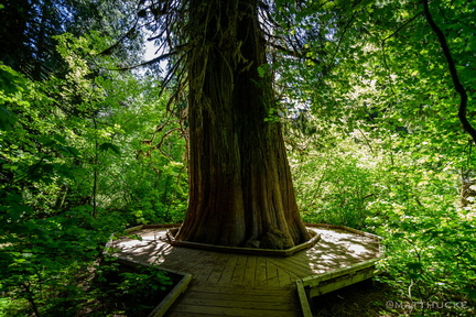 Ancient Cedar
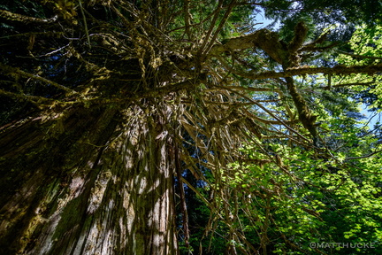 Ancient Cedar
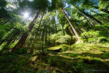 Atop the ridge
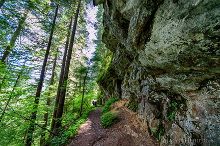 Between a rock and a vertical place
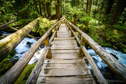 Bridge Over Laughingwater Creek
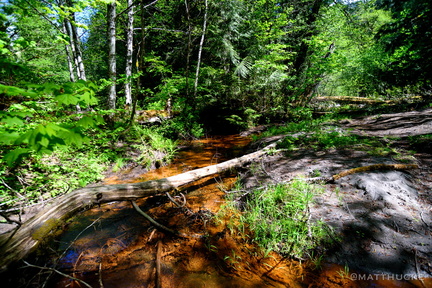 Copper creek
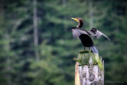 Double crested cormorant
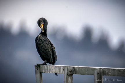 Double crested cormorant
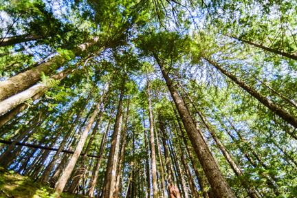 Every twig
 Falling water
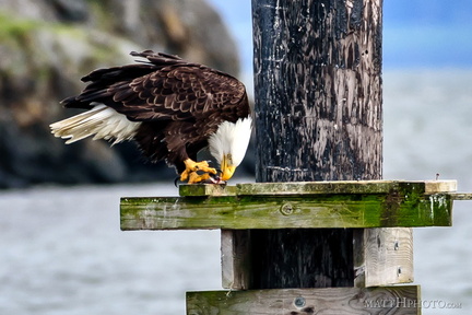 Fish eater
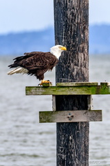 Fish eater
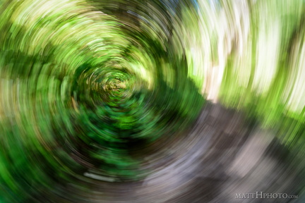 Forest Swirly
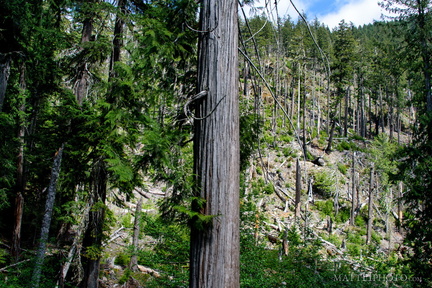 Forest wasteland
 From Sunrise Point, the Mountain
 Fryingpan Creek to Banshee Peak
 Fryingpan Creek to Banshee Peak
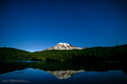 Glaciers in Moonlight
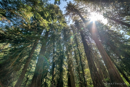 Grove of the Patriarchs Trail
 He who would cross the bridge of death
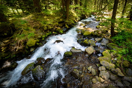 Laughingwater Creek
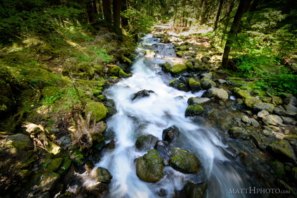 Laughingwater Creek
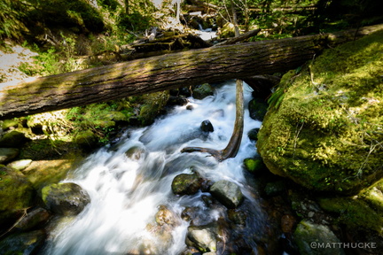 Laughingwater Creek
 Laughingwater Creek
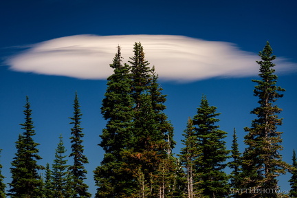 Lenticular
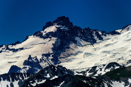 Little Tahoma
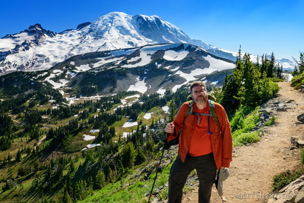 Look at me, I'm on a ridge.
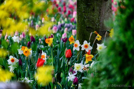 Look at the colours
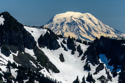 Mount Adams (from Rainier)
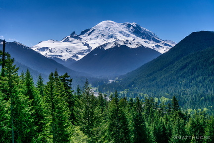 Mount Rainier
 Mountain Caravan
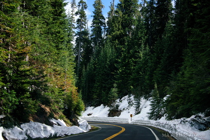 Mountain Road
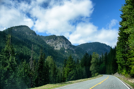 Mountain Road
 Mountain Snow
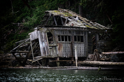 No one lives there
 Ohanapecosh
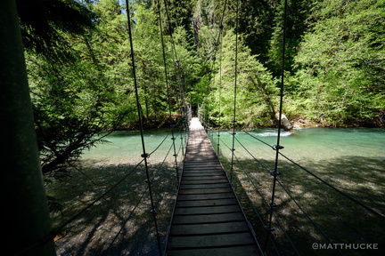 Ohanapecosh crossing
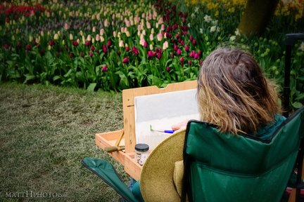 Painter of Tulips
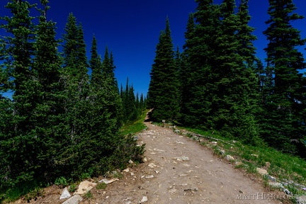 Palisades Lakes Trail
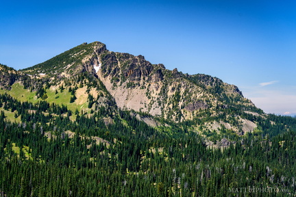 Palisades Peak
 Parallels
 Rainier and clouds
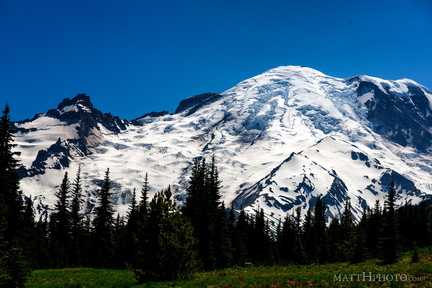 Rainier from Sunrise
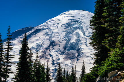 Rainier from Sunrise Point
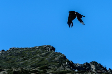 Rainier Raven