
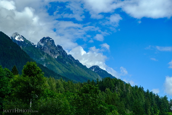
 Stevens Pass
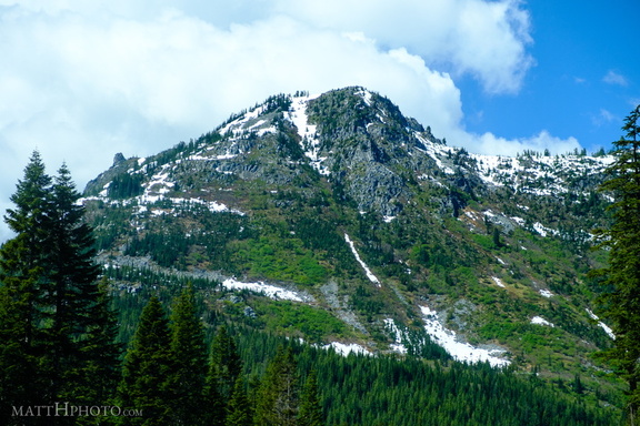 Stevens Pass
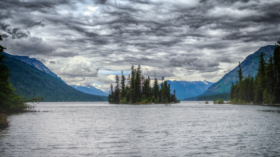 Emerald Island
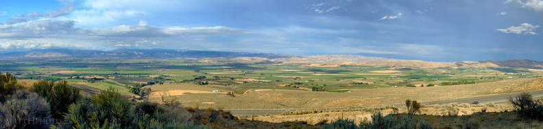 Kittitas Valley
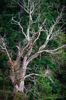 Among the living
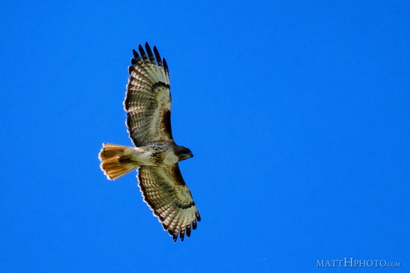 Above us, Osprey
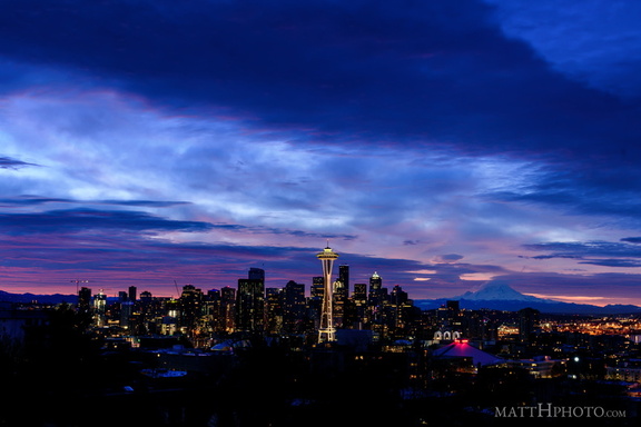 Waiting for the Dawn
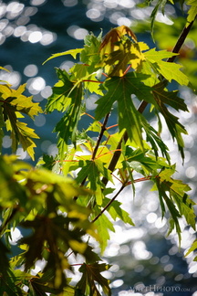 Leaf and River
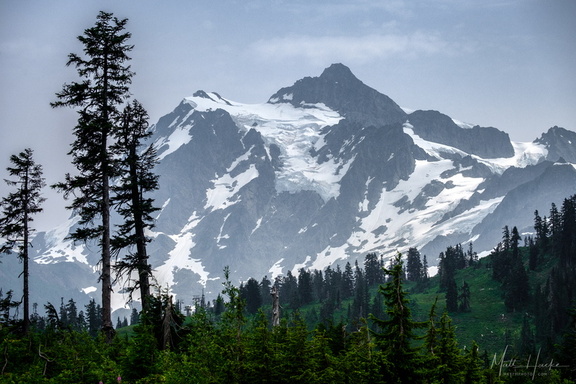 Mount Shuksan
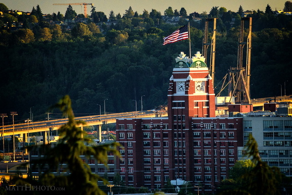 Fortress of Coffee World Domination
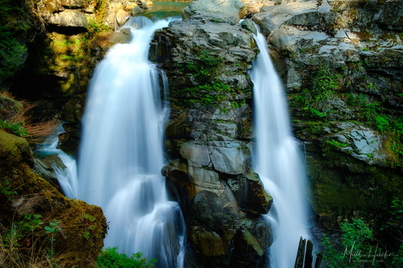 Nooksack Falls
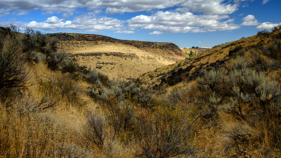 Cowiche Canyon
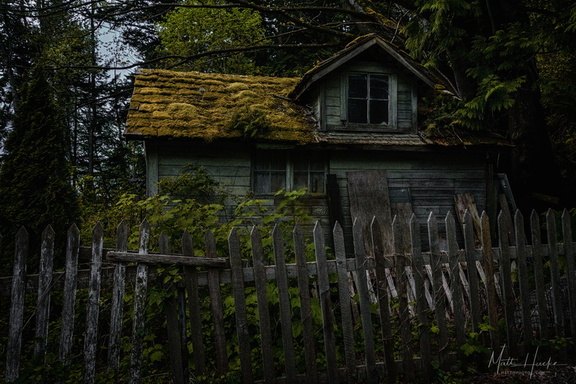 The Shunned House
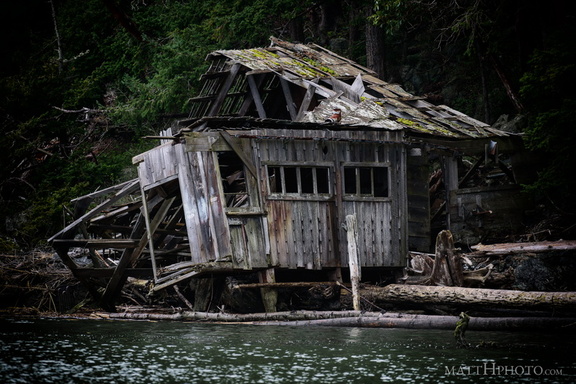 No one lives there
 Under the Rainbow
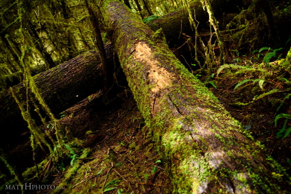 Fallen
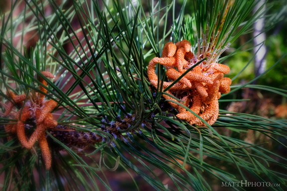 Pine
Pine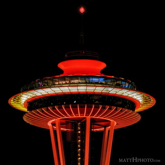 Red for Seattle University
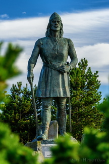 Leif Erikson
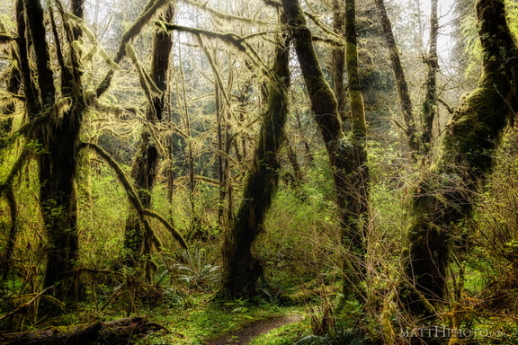 The Woods
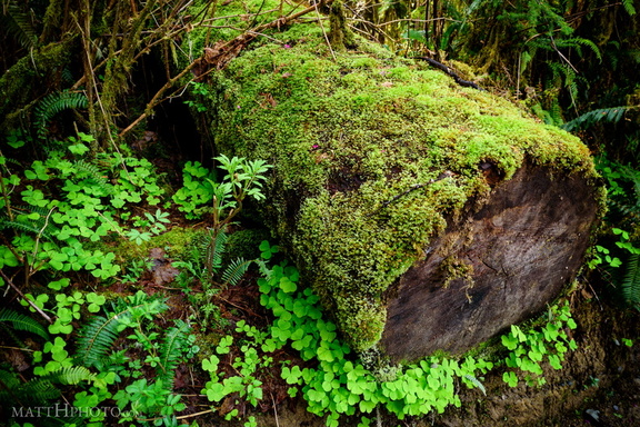 Green is the log
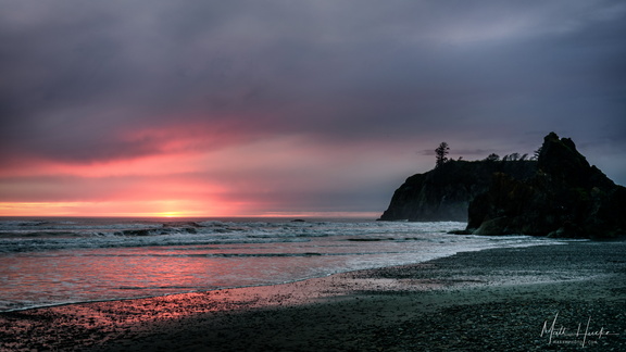 Ruby Beach, at the end of the day
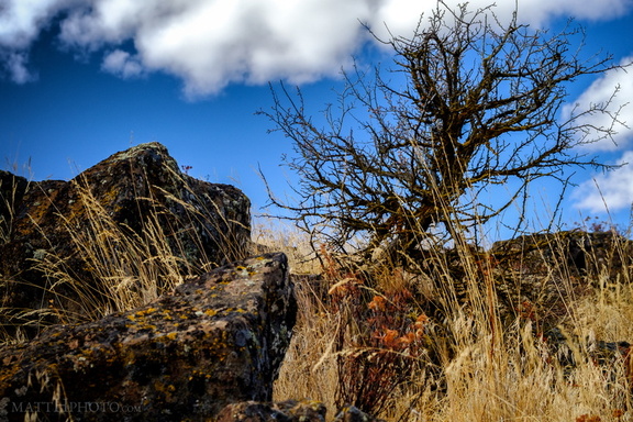 Rugged
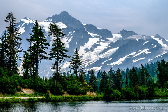 Mount Shuksan and Picture Lake
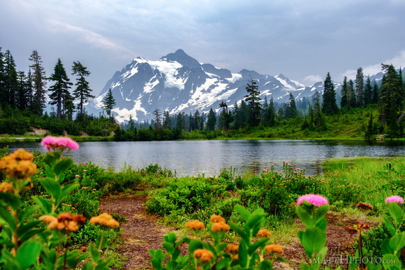 Mount Shuksan and Picture Lake
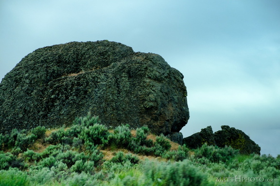 Missoula Flood Deposit
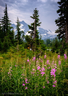 Picture Lake Trail, Mount Shuksan
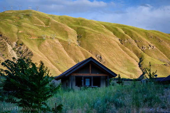 Lincoln Rock State Park
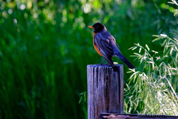 Robin on a post
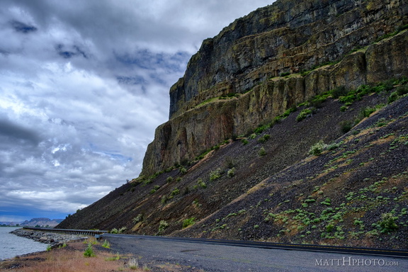 Grand Coulee
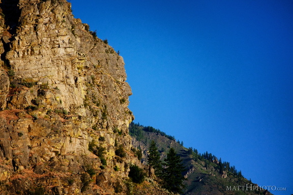 It kinda looks like him
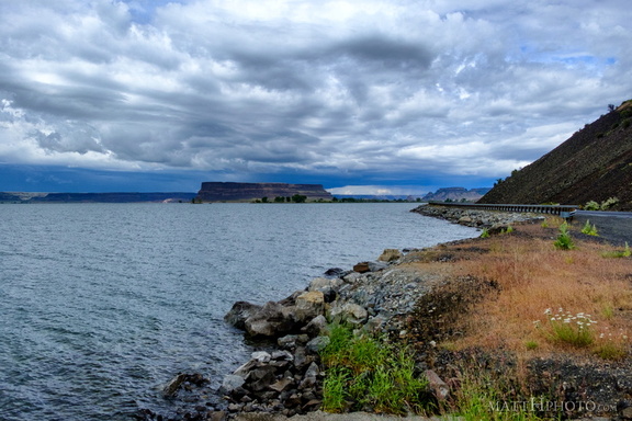 Banks Lake
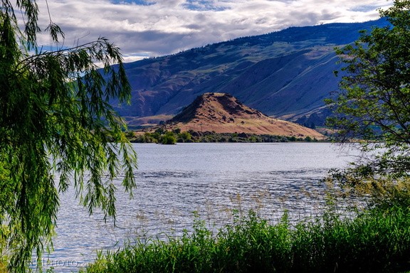 Turtle Rock Island
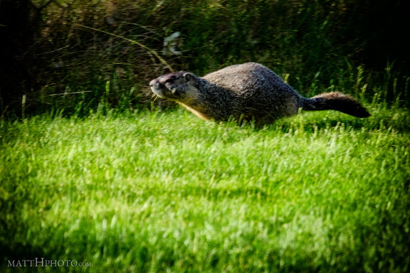 Marmot
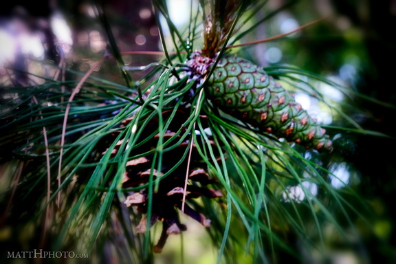 New Cone and Old
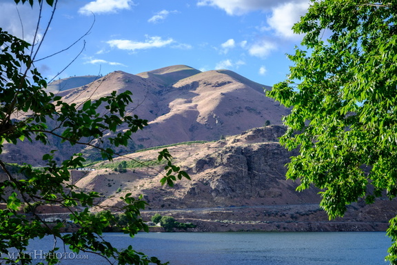 Lincoln Rock State Park
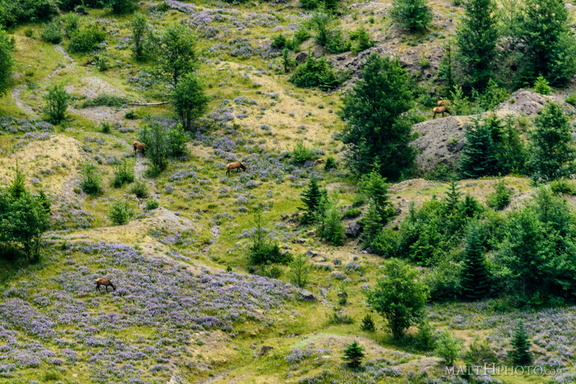 In the blasted zone
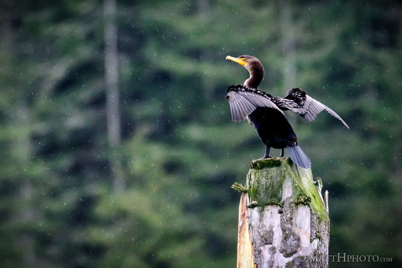 Double crested cormorant
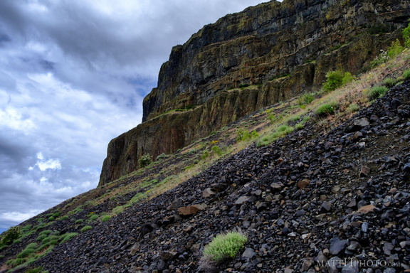 Grand Coulee
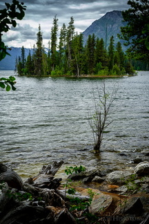 Emerald Island in Lake Wenatchee
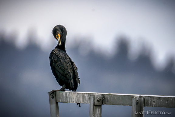 Double crested cormorant
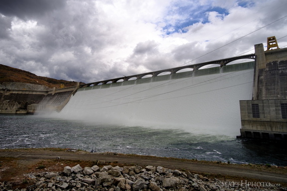 Grand Coulee Dam
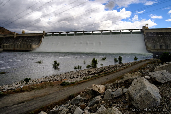 Grand Coulee Dam
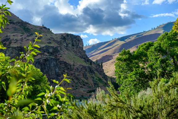 Lincoln Rock State Park
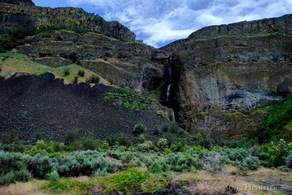 Grand Coulee
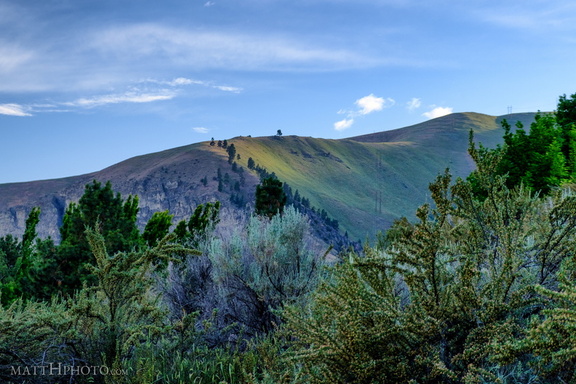 Lincoln Rock State Park
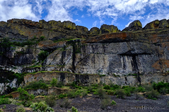 Teeth of the Coulee
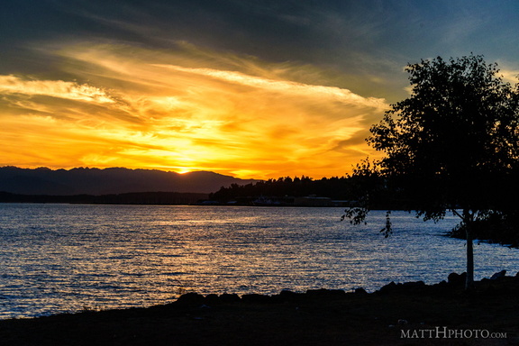 Puget's Gold
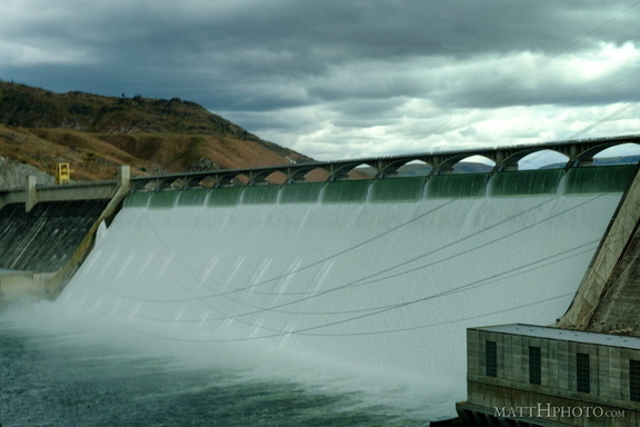 Grand Coulee Dam
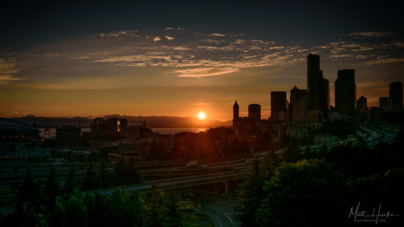 Nightfall