
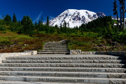
 ...of all the alpine gardens
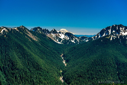 South from Sunrise Point
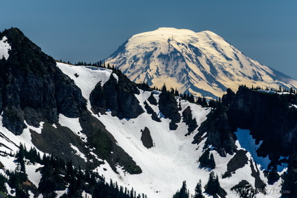 Mount Adams (from Rainier)
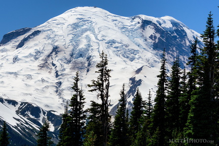 Sunrise Point
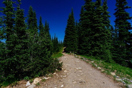 Palisades Lakes Trail
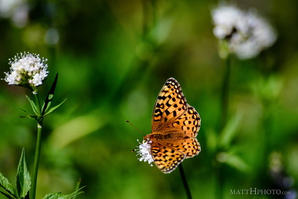 A spot of colour
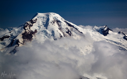 put out my hand and touched the face of god
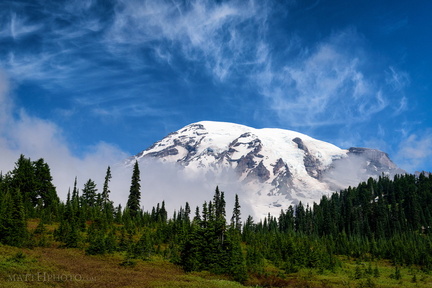 Cool Mist
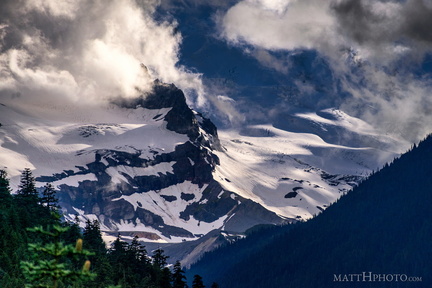 Little Tahoma
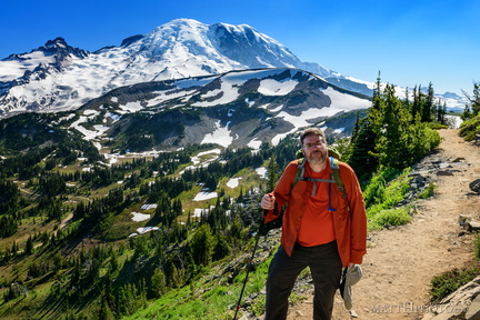 Look at me, I'm on a ridge.
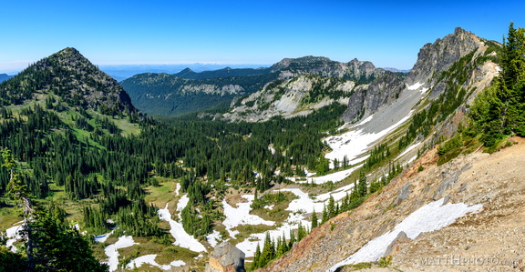 McNeeley Peak
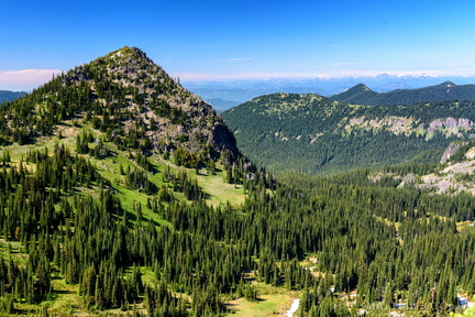 McNeeley Peak
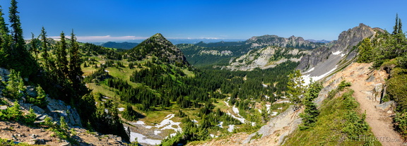 McNeeley Peak
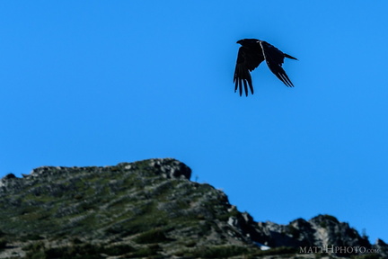 Rainier Raven
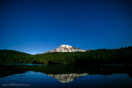 Glaciers in Moonlight
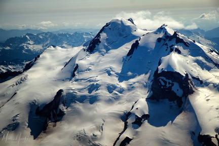 top of glacier peak
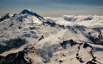 East of Mount Baker
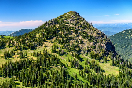 McNeeley Peak
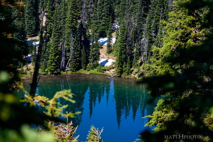 Sunrise Lake
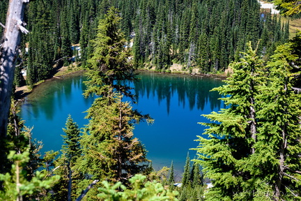 Sunrise Lake
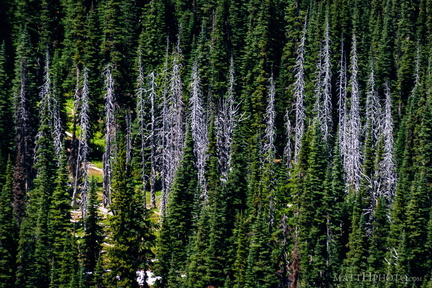 Snags
Snags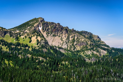 Palisades Peak
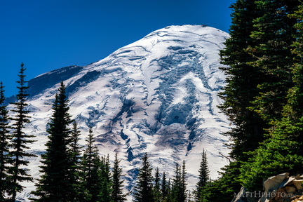 Rainier from Sunrise Point
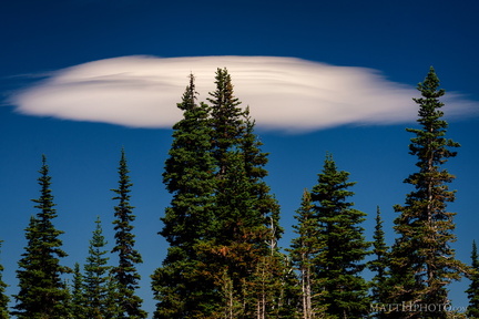 Lenticular
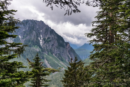 Eagle, between the trees
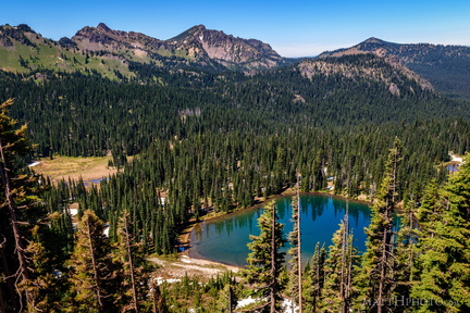 Sunrise Lake and Palisades Peak
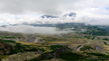 Cloud Saint Helens