
-
 ...of all the alpine gardens
-
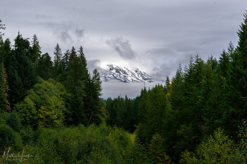 A little bit of Mount Rainier, from not very far away
-
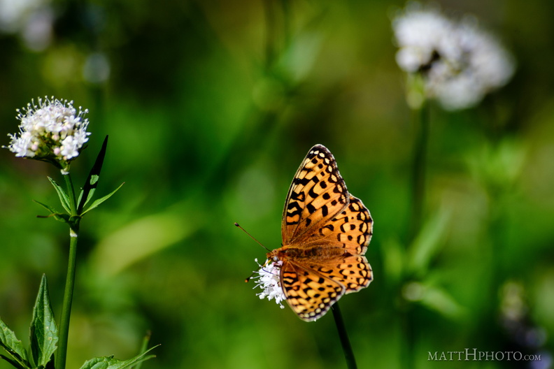 A spot of colour
From Sunrise Point (6130ft), Mount Rainier National Park. -
 Baker
Baker
Mount Baker from Artist Ridge. Processed with Nik Analog Effects. -
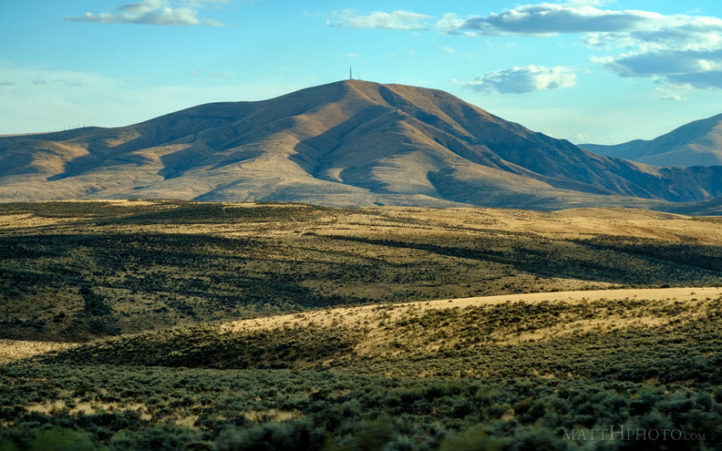 Baldy
Baldy
Baldy mountain, near Kittitas Washingto -
 Cloud Saint Helens
Mount Saint Helens hidden in a cloud all day - this was the clearest shot I got of the mountaintop, and within minutes it was gone again. -
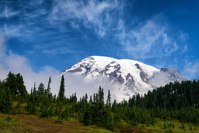 Cool Mist
From Paradise Visitor Center, Mount Rainier National Park. As I watched, a cloud settled on the mountain, and remained there most of the day. -
 Crisp December Day
-
 Eagle, between the trees
Eagle Peak (5958ft) from Inspiration Point, Stevens Canyon Road, in Mount Rainier National Park -
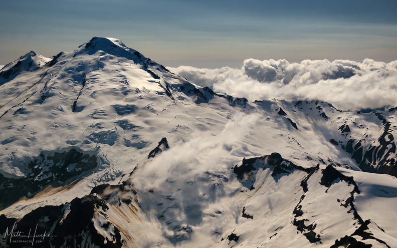 East of Mount Baker
-
 Glaciers in Moonlight
Mount Rainier at Reflection Lake in the light of the full moon -
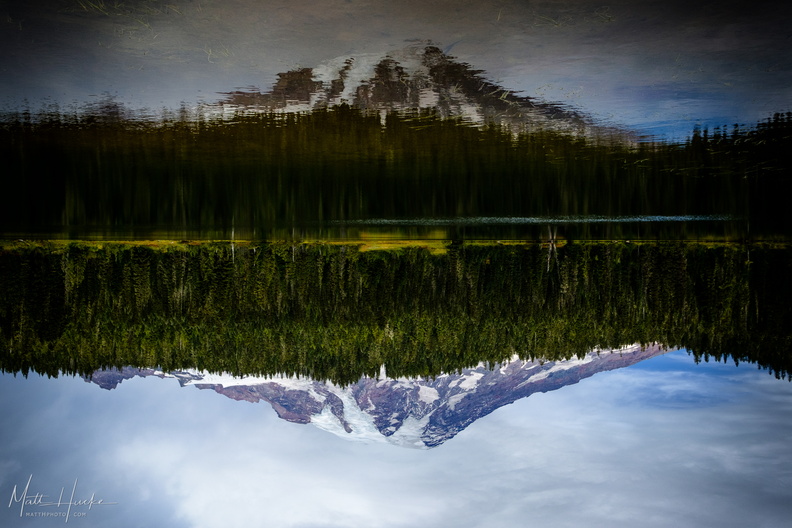 Inversion
-
 Lenticular
Lenticular cloud, looking east from Sunrise Point (6130ft), Mount Rainier National Park. -
 Little Tahoma
Little Tahoma Peak, a secondary peak of Mount Rainier, on a cloudy day in July -
 Look at me, I'm on a ridge.
Sourdough Ridge, Frozen Lake Trail, Mount Rainier National Park. -
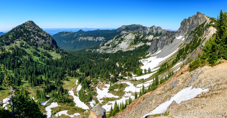 McNeeley Peak
McNeeley Peak (6786 feet) and Huckleberry Basin, seen from Sourdough Ridge Trail, west of Sunrise Visitor Center. -
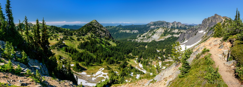 McNeeley Peak
McNeeley Peak (6786 feet) and Huckleberry Basin, seen from Sourdough Ridge Trail, west of Sunrise Visitor Center. -
 McNeeley Peak
McNeeley Peak (6786 feet) and Huckleberry Basin, seen from Sourdough Ridge Trail, west of Sunrise Visitor Center. -
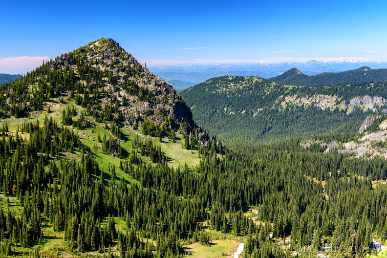 McNeeley Peak
McNeeley Peak (6786 feet) and Huckleberry Basin, seen from Sourdough Ridge Trail, west of Sunrise Visitor Center. -
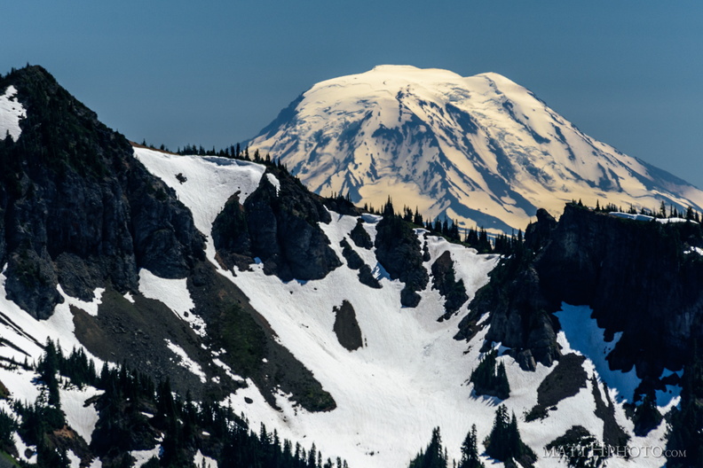 Mount Adams (from Rainier)
View from Sunrise Point, Mount Rainier National Park. Barrier Peak is in the foreground. -
 Mount Constance from the Dosewallips River
-
 Mount Rainier
From the east -
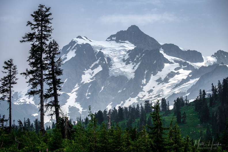 Mount Shuksan
As seen from the Mount Baker ski area. -
 Mount Shuksan and Picture Lake
-
 Mount Shuksan and Picture Lake
-
 Nisqually-Paradise Road
-
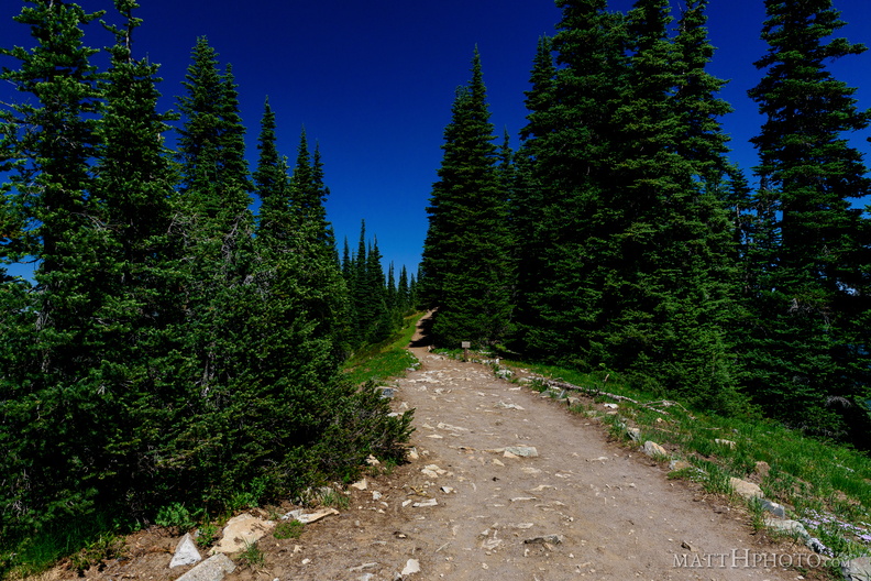 Palisades Lakes Trail
View from Sunrise Point, Mount Rainier National Park -
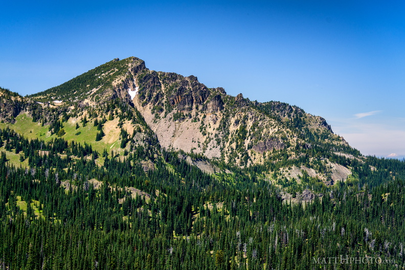 Palisades Peak
Palisades Peak (7000ft), named for it columnar basalt formations resembling a defensive wall. Looking northwest from Sunrise Point (6130ft), Mount Rainier National Park. At right, Mount Baker can be seen on the horizon, about 125 miles north. -
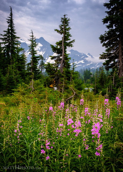 Picture Lake Trail, Mount Shuksan
-
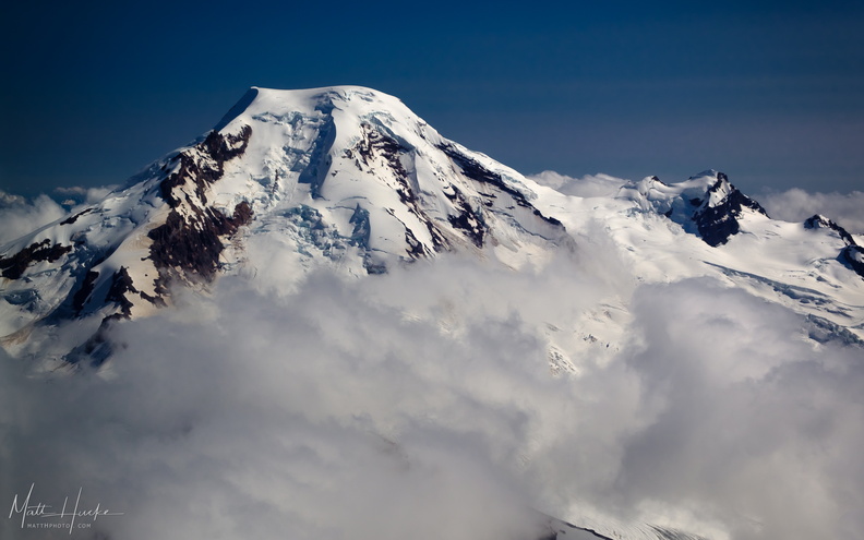 put out my hand and touched the face of god
Mount Baker, with Black Buttes on the right. -
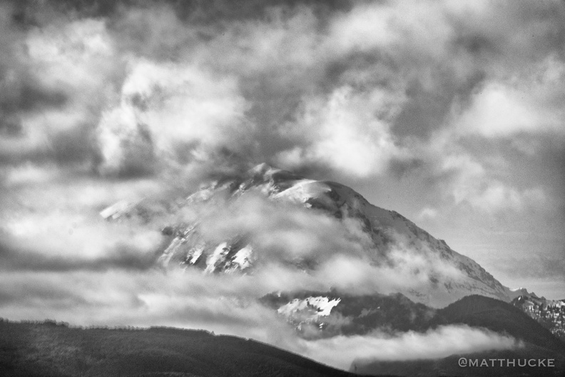 Rainier and clouds
-
 Rainier from Sunrise Point
Rainier summit, looking west from Sunrise Point (6130ft), Mount Rainier National Park. -
 Rainier Raven
It's a corvid. -
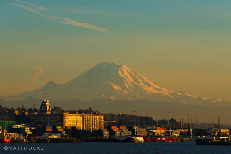 Rainier, seen from the ferry
We keep our snow in a 14,000-foot pile. -
 Seymour Peak
As seen from Highway 123, east side of Mount Rainier National Park. 6337 feet. -
 Seymour Peak
As seen from Highway 123, east side of Mount Rainier National Park. 6337 feet. -
 Snags
Snags
Standing dead trees, looking north from Sunrise Point (6130ft), Mount Rainier National Park. -
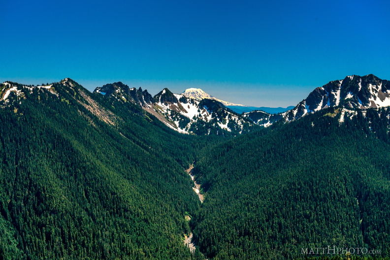 South from Sunrise Point
View from Sunrise Point, Mount Rainier National Park. Mount Adams is in the distance; in the foreground are Governors Ridge, Barrier Peak, and Tamanos Mountain. -
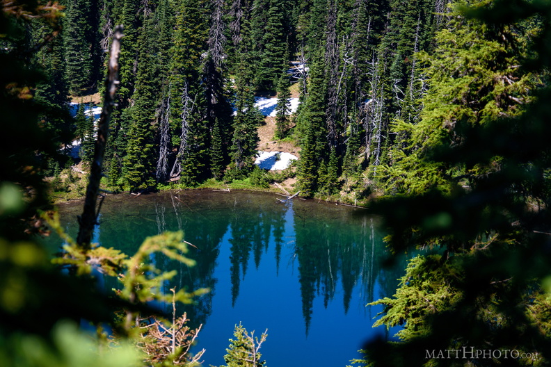 Sunrise Lake
Sunrise Lake (5730 ft), looking north from Sunrise Point (6130ft), Mount Rainier National Park. -
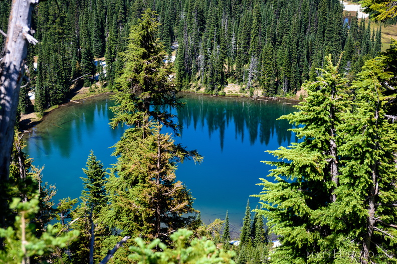 Sunrise Lake
From Sunrise Point (6130ft), Mount Rainier National Park. -
 Sunrise Lake and Palisades Peak
Marcus Peak and Palisades Peak, above Sunrise Lake. Looking north from Sunrise Point (6130ft), Mount Rainier National Park. -
 Sunrise Point
View from Sunrise Point, Mount Rainier National Park -
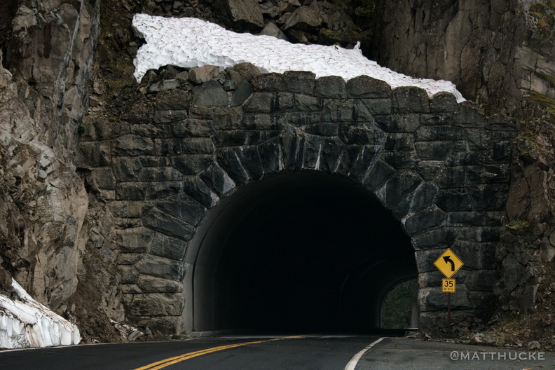 Through the Mountain
Tunnel through Seymour Peak, about 3800 feet, WA-123 near Mount Rainier National Park -
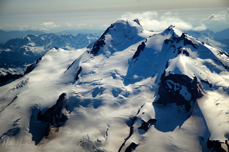 top of glacier peak
-
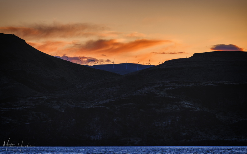 Wild Horses on the Columbia
Wild Horse wind farm turbines