
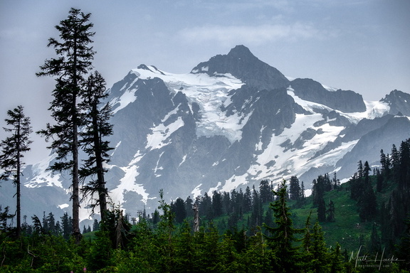
 Mount Shuksan
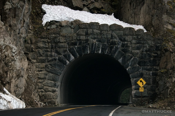 Through the Mountain
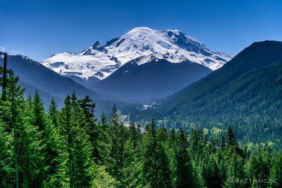 Mount Rainier
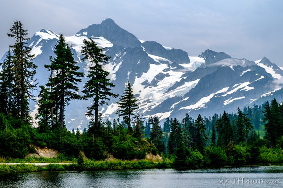 Mount Shuksan and Picture Lake
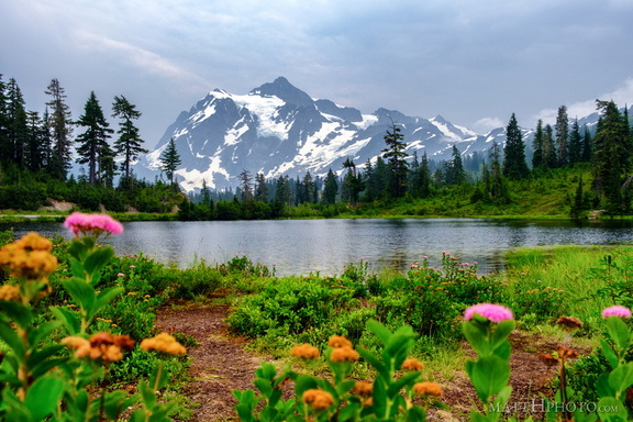 Mount Shuksan and Picture Lake
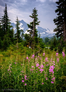 Picture Lake Trail, Mount Shuksan
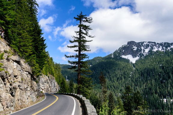 Seymour Peak
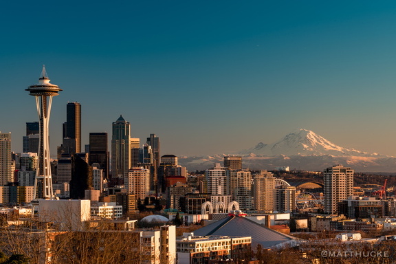 Crisp December Day
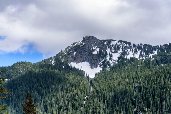 Seymour Peak
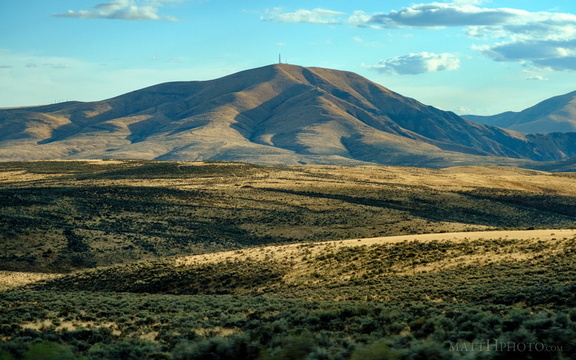 Baldy
Baldy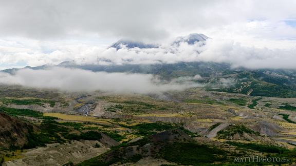 Cloud Saint Helens
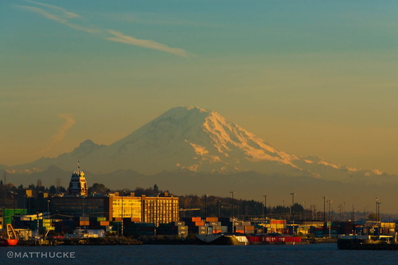 Rainier, seen from the ferry
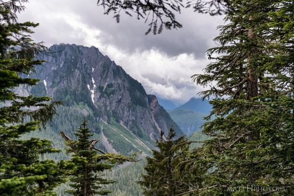 Eagle, between the trees
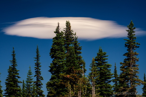 Lenticular
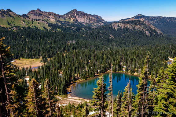 Sunrise Lake and Palisades Peak
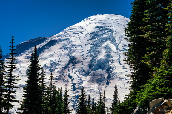 Rainier from Sunrise Point
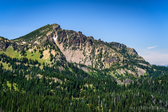 Palisades Peak
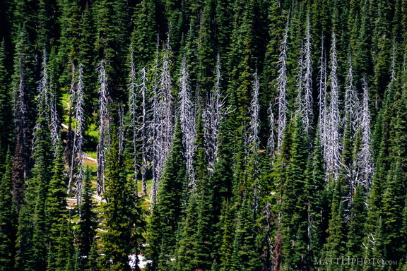 Snags
Snags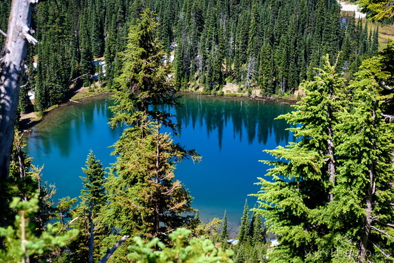 Sunrise Lake
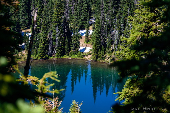 Sunrise Lake
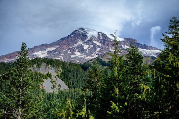 Nisqually-Paradise Road
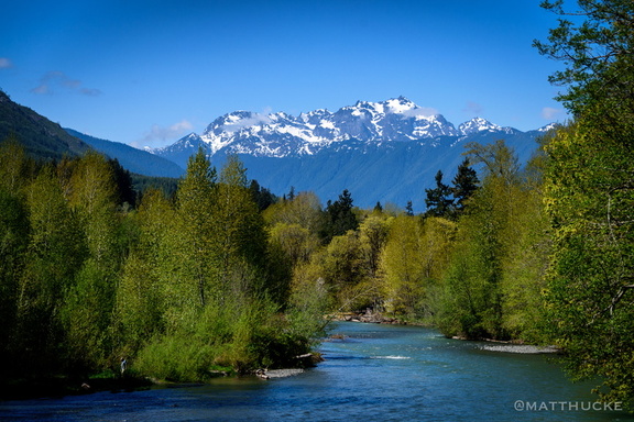 Mount Constance from the Dosewallips River
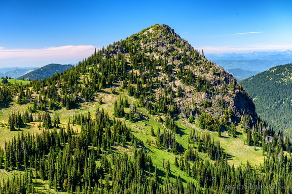 McNeeley Peak
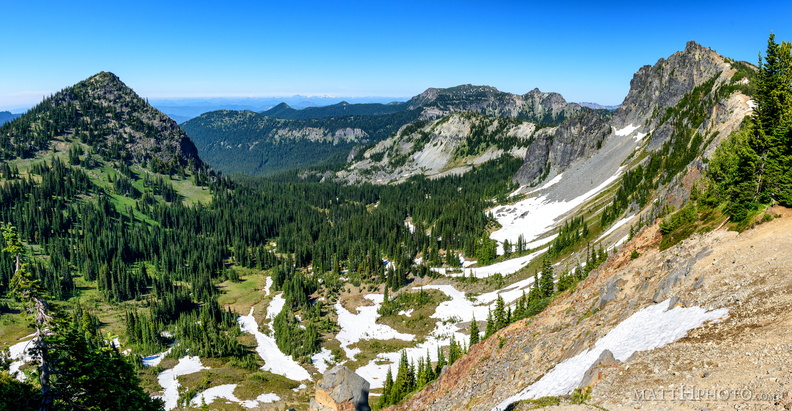 McNeeley Peak
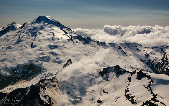 East of Mount Baker
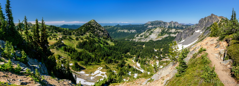 McNeeley Peak
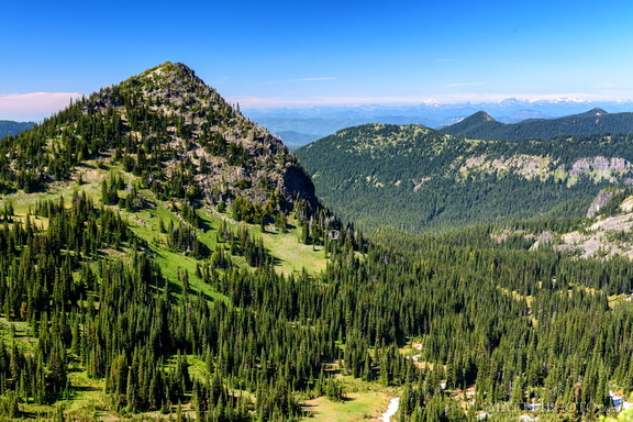 McNeeley Peak
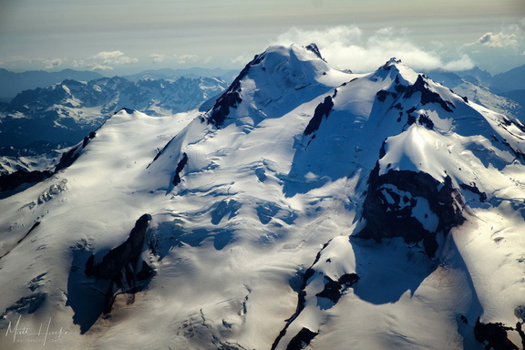 top of glacier peak
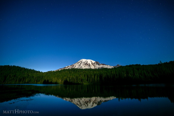 Glaciers in Moonlight
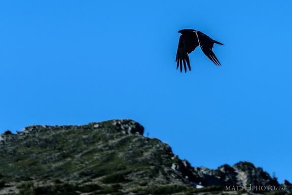 Rainier Raven
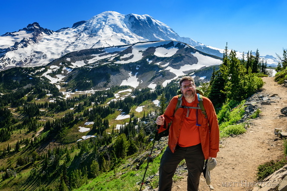 Look at me, I'm on a ridge.
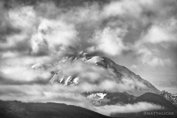 Rainier and clouds
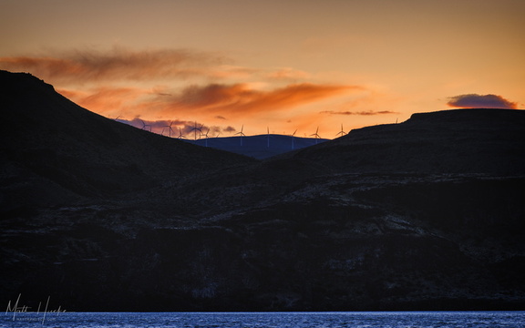 Wild Horses on the Columbia
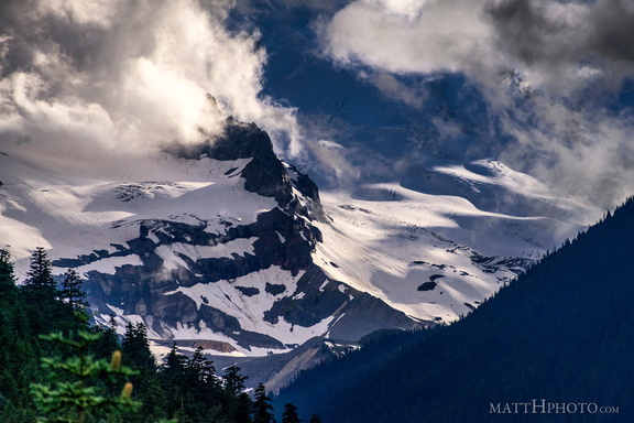 Little Tahoma
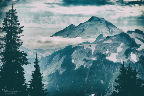 Baker
Baker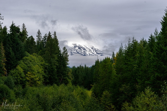 A little bit of Mount Rainier, from not very far away
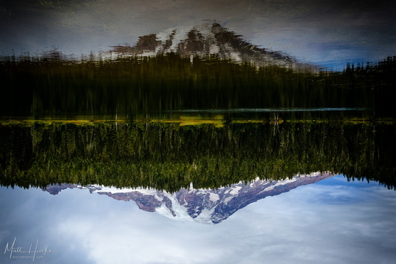 Inversion
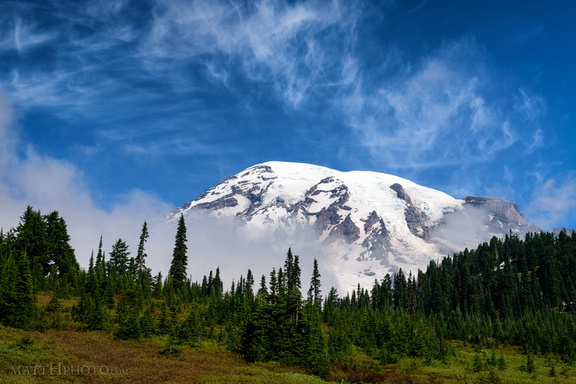 Cool Mist
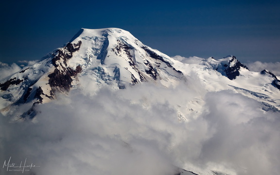 put out my hand and touched the face of god
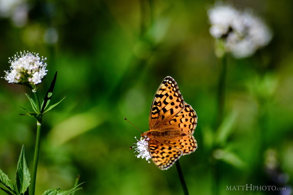 A spot of colour
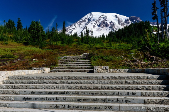 ...of all the alpine gardens
 Palisades Lakes Trail
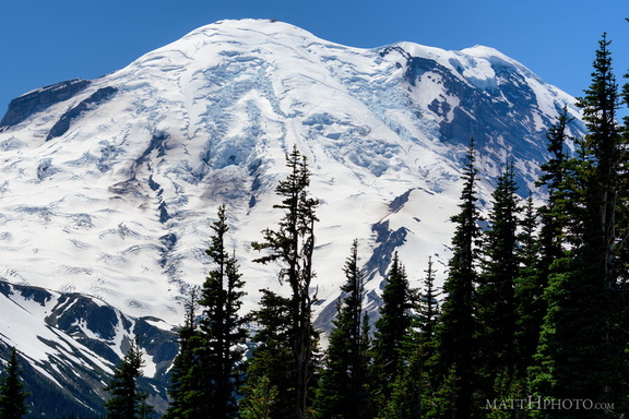 Sunrise Point
 Mount Adams (from Rainier)
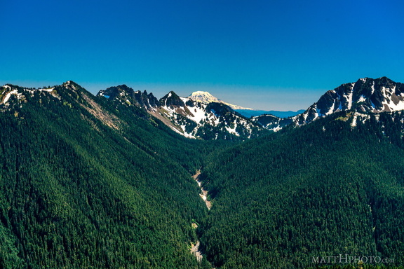 South from Sunrise Point