
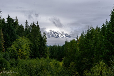
 A little bit of Mount Rainier, from not very far away
 extreme carbon
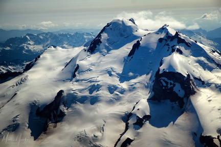 top of glacier peak
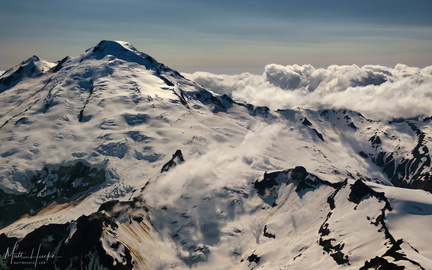 East of Mount Baker
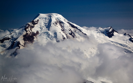 put out my hand and touched the face of god
 Paradise
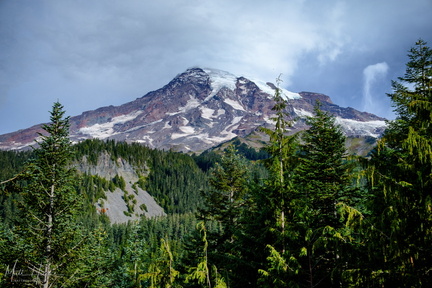 Nisqually-Paradise Road
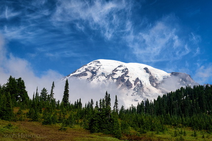 Cool Mist
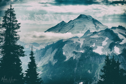 Baker
Baker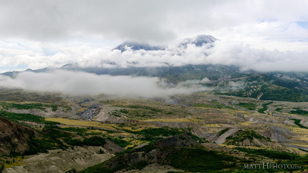 Cloud Saint Helens
 In the blasted zone
 Boom.
Boom. Rainier and clouds
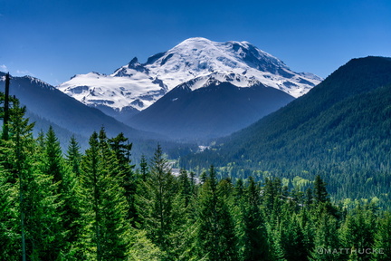 Mount Rainier
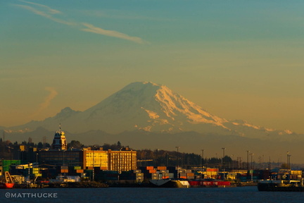 Rainier, seen from the ferry