
-
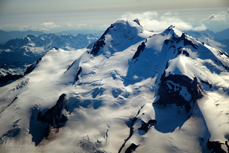 top of glacier peak
-
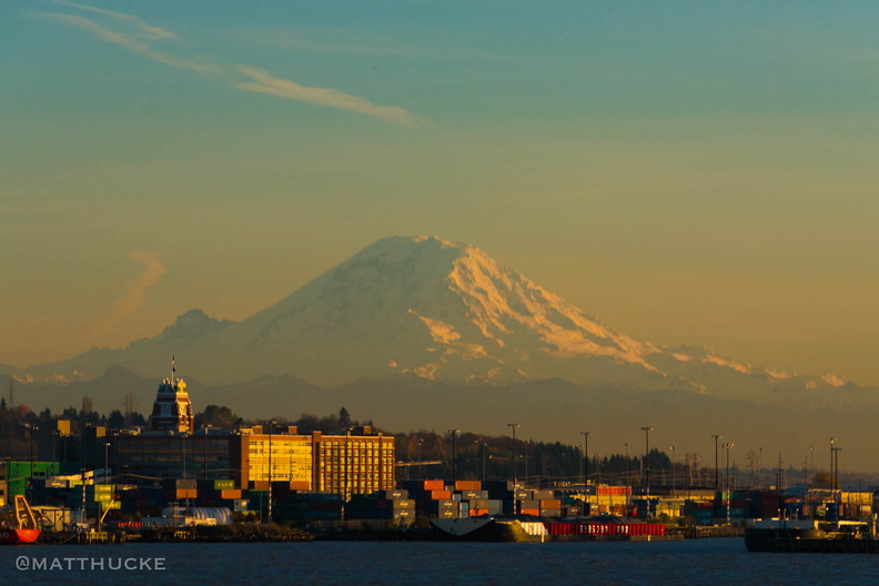 Rainier, seen from the ferry
We keep our snow in a 14,000-foot pile. -
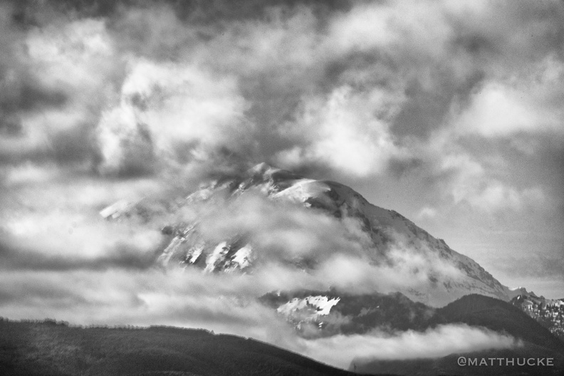 Rainier and clouds
-
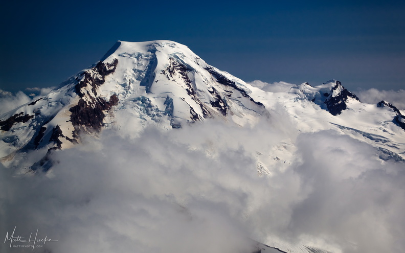 put out my hand and touched the face of god
Mount Baker, with Black Buttes on the right. -
 Paradise
Waterfall Trail from Paradise, toward Myrtle Falls -
 Nisqually-Paradise Road
-
 Mount Rainier
From the east -
 In the blasted zone
Elk grazing on lupine in the blast zone of Mount Saint Helens. 400mm and cropped 50%, from Johnston Ridge -
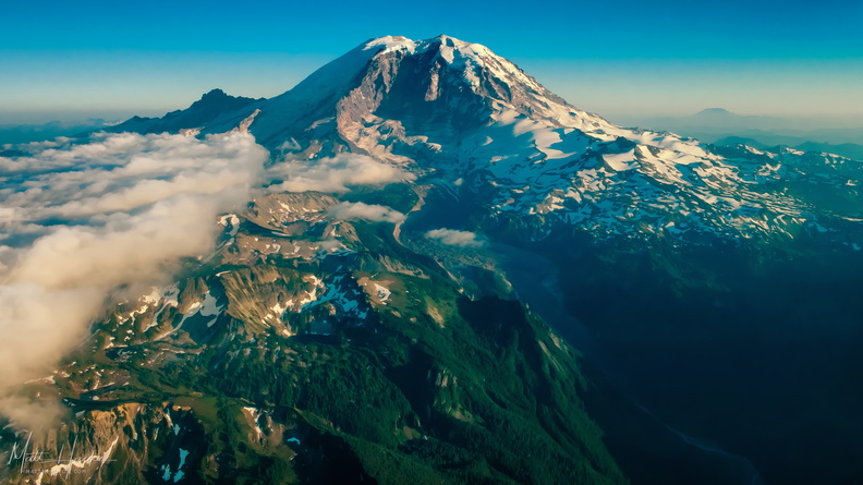 extreme carbon
Mount Rainier, from the north. At left is Little Tahoma Peak, a remnant of an earlier summit, before volcanic activity formed the present peak about 500,000 years ago. On the horizon at right is Mount St. Helens. In the gap between Willis Wall (center-left) and Ptarmigan Ridge (center-right) is Carbon Glacier, the longest, thickest, and most voluminous glacier in the United States outside Alaska. As the glacier melts, it forms the Carbon River, seen at lower right, which eventually drains into Puget Sound. -
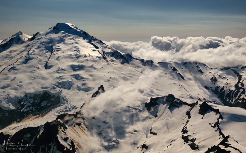 East of Mount Baker
-
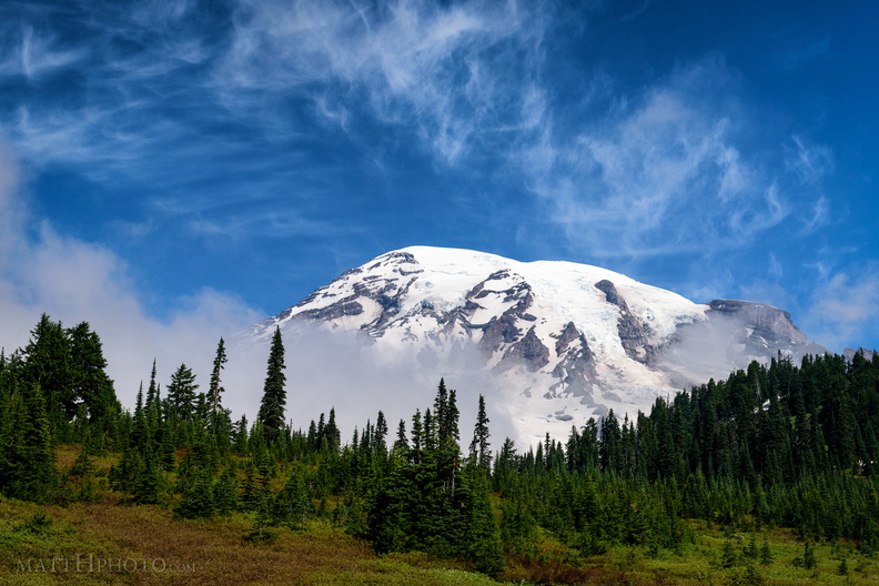 Cool Mist
From Paradise Visitor Center, Mount Rainier National Park. As I watched, a cloud settled on the mountain, and remained there most of the day. -
 Cloud Saint Helens
Mount Saint Helens hidden in a cloud all day - this was the clearest shot I got of the mountaintop, and within minutes it was gone again. -
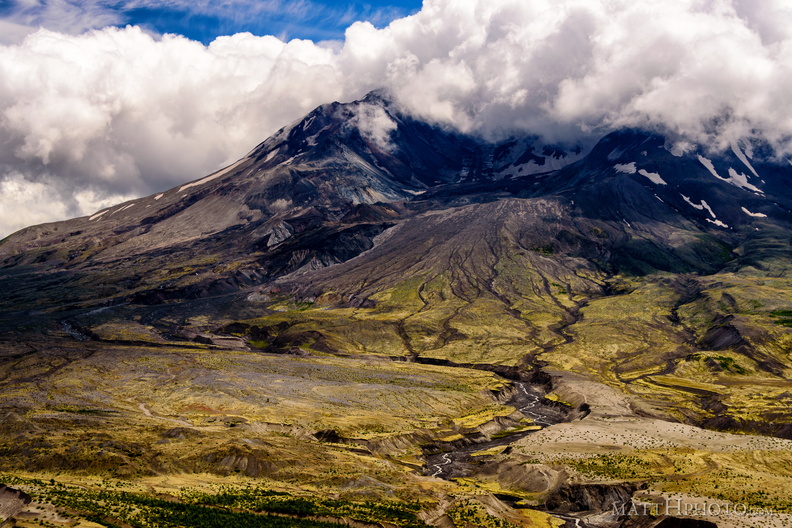 Boom.
Boom.
Mount St Helens, 36 years after the blast. -
 Baker
Baker
Mount Baker from Artist Ridge. Processed with Nik Analog Effects. -
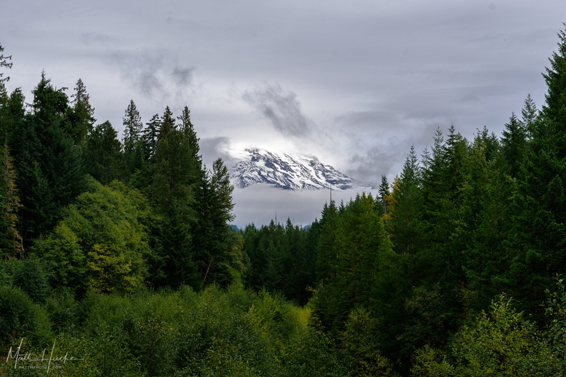 A little bit of Mount Rainier, from not very far away