
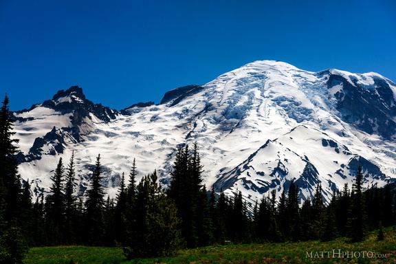
 Rainier from Sunrise
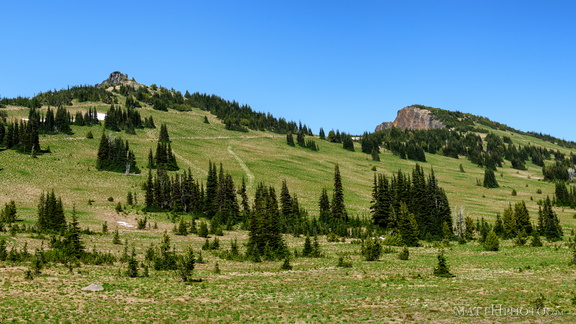 Sourdough Ridge
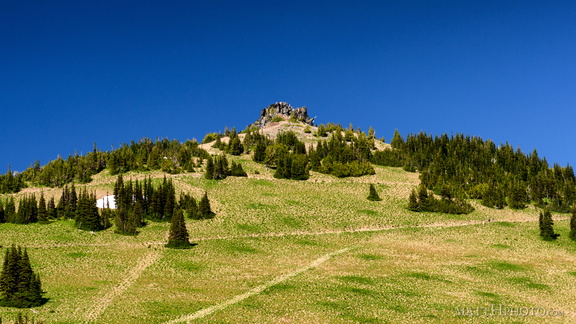 Sourdough Ridge Peak
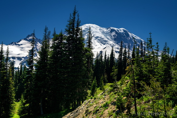 Sunrise Road
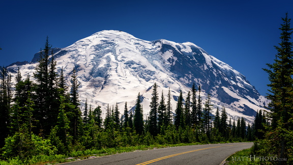 Sunrise Road
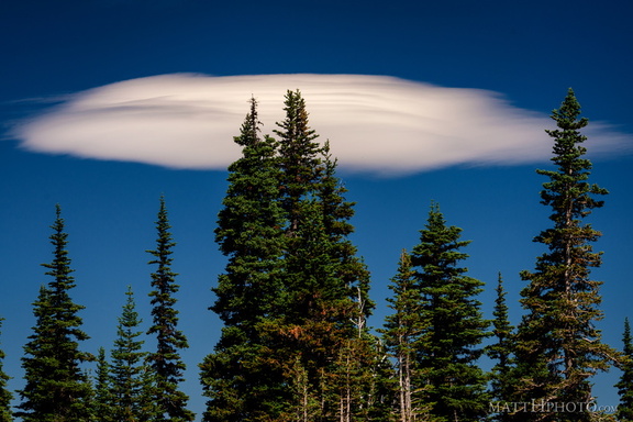 Lenticular
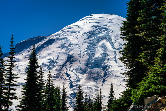 Rainier from Sunrise Point
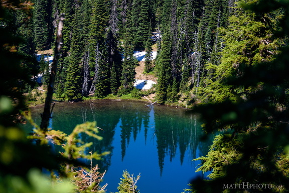 Sunrise Lake
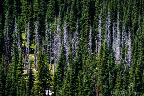 Snags
Snags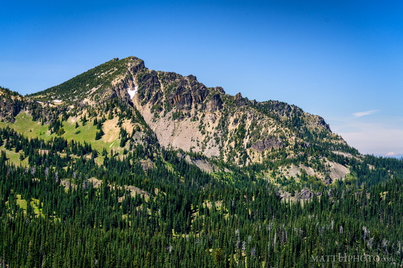 Palisades Peak
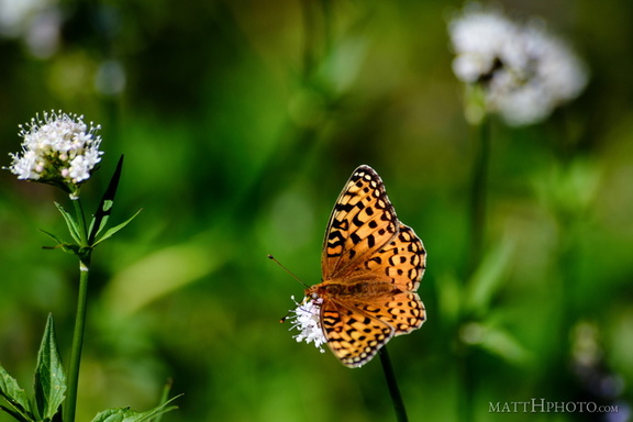 A spot of colour
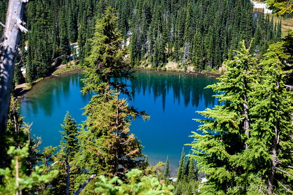 Sunrise Lake
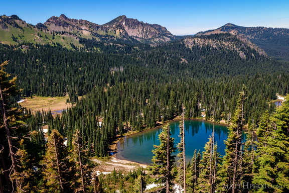 Sunrise Lake and Palisades Peak
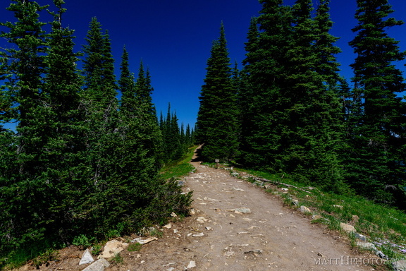 Palisades Lakes Trail
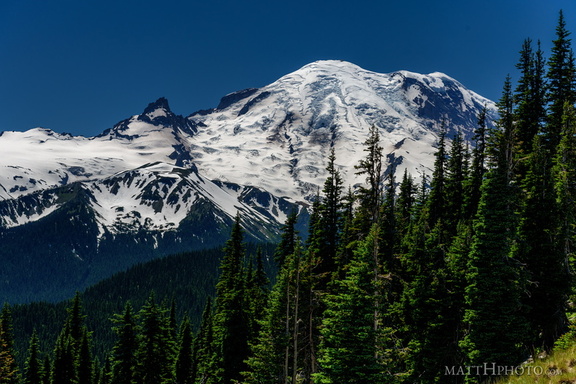 From Sunrise Point, the Mountain
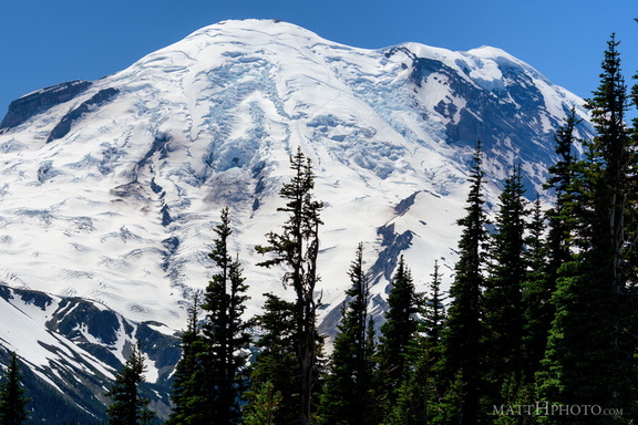 Sunrise Point
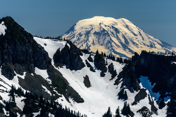 Mount Adams (from Rainier)
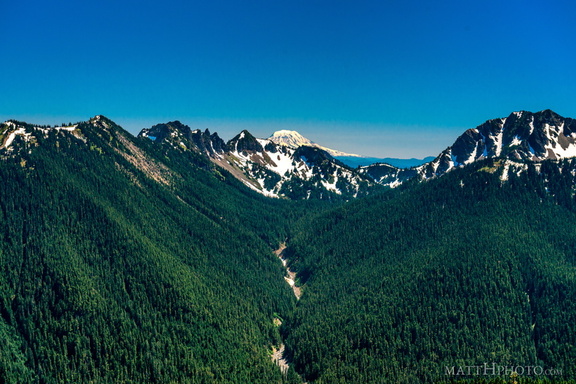 South from Sunrise Point
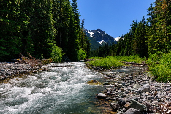 Fryingpan Creek to Banshee Peak
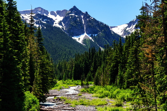 Fryingpan Creek to Banshee Peak
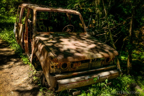 Going Nowhere Solo
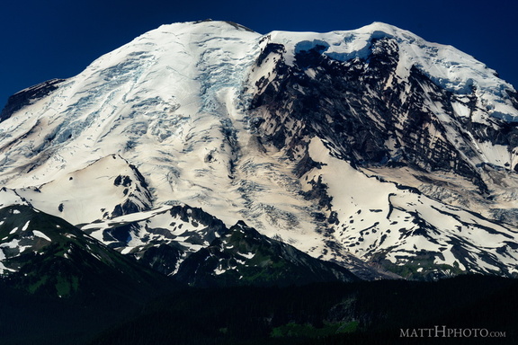 The North Face
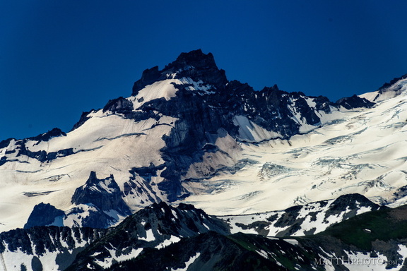 Little Tahoma
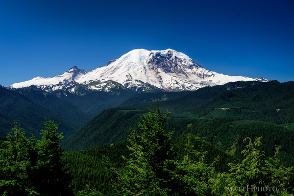 The North Face
 Sun Top Fire Lookout
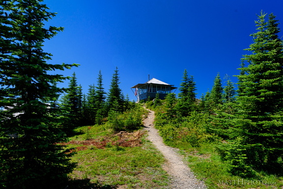 Sun Top Fire Lookout
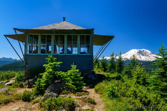 Sun Top Fire Lookout
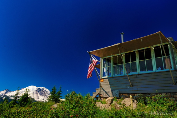 Sun Top Fire Lookout
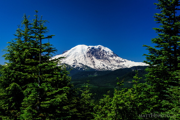 Sun Top Fire Lookout
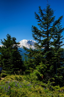 Sun Top Fire Lookout
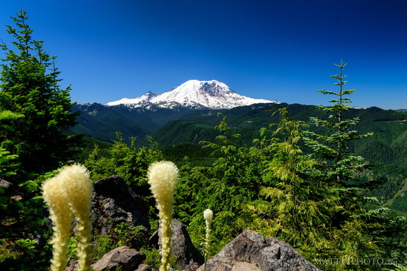 Sun Top Fire Lookout
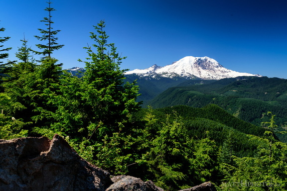 Sun Top Fire Lookout
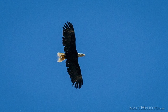 Over Lower Queen Anne
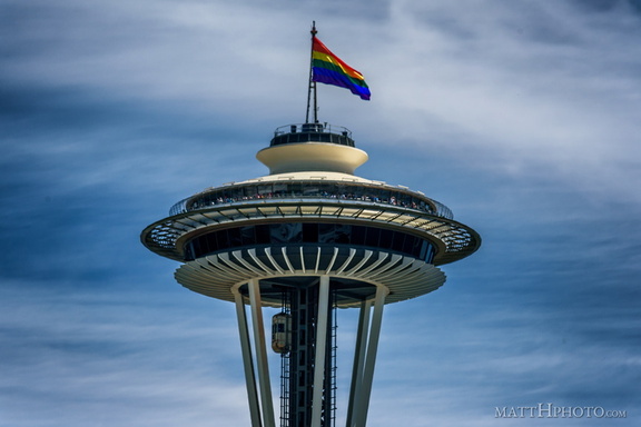 Seattle Pride 2017
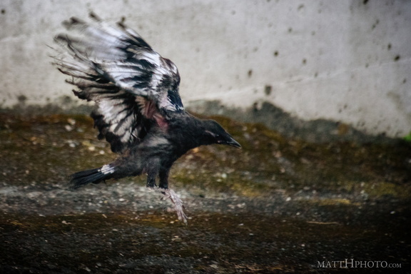 Learning to Crow
 Missionary's Downfall
 Gom Jabbar
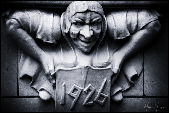 1926
1926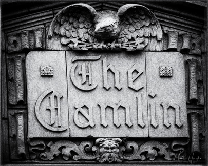 The Camlin
 Aqua Tiki
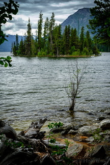 Emerald Island in Lake Wenatchee
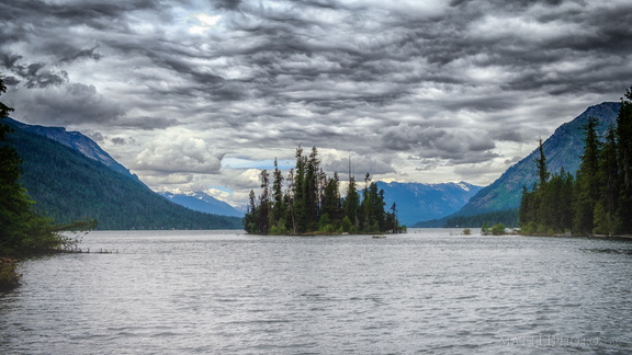 Emerald Island
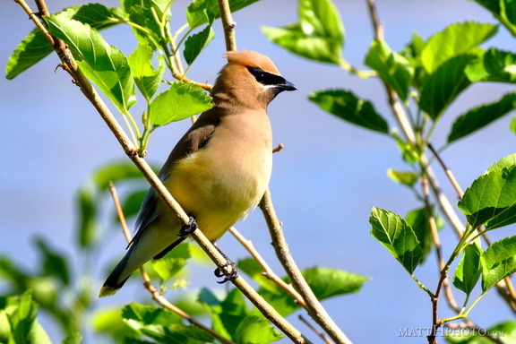 Cedar Waxwing
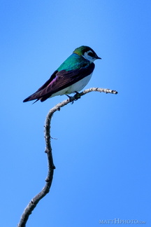 Violet Green Swallow
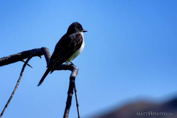 Eastern Kingbird
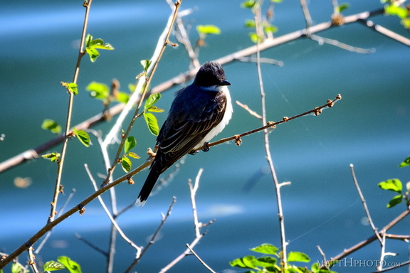 Eastern Kingbird
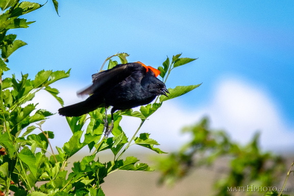 Red Winged Blackbird
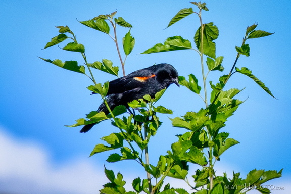 Red Winged Blackbird
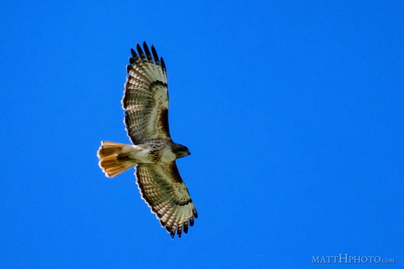 Above us, Osprey
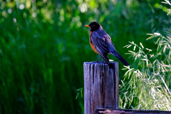 Robin on a post